


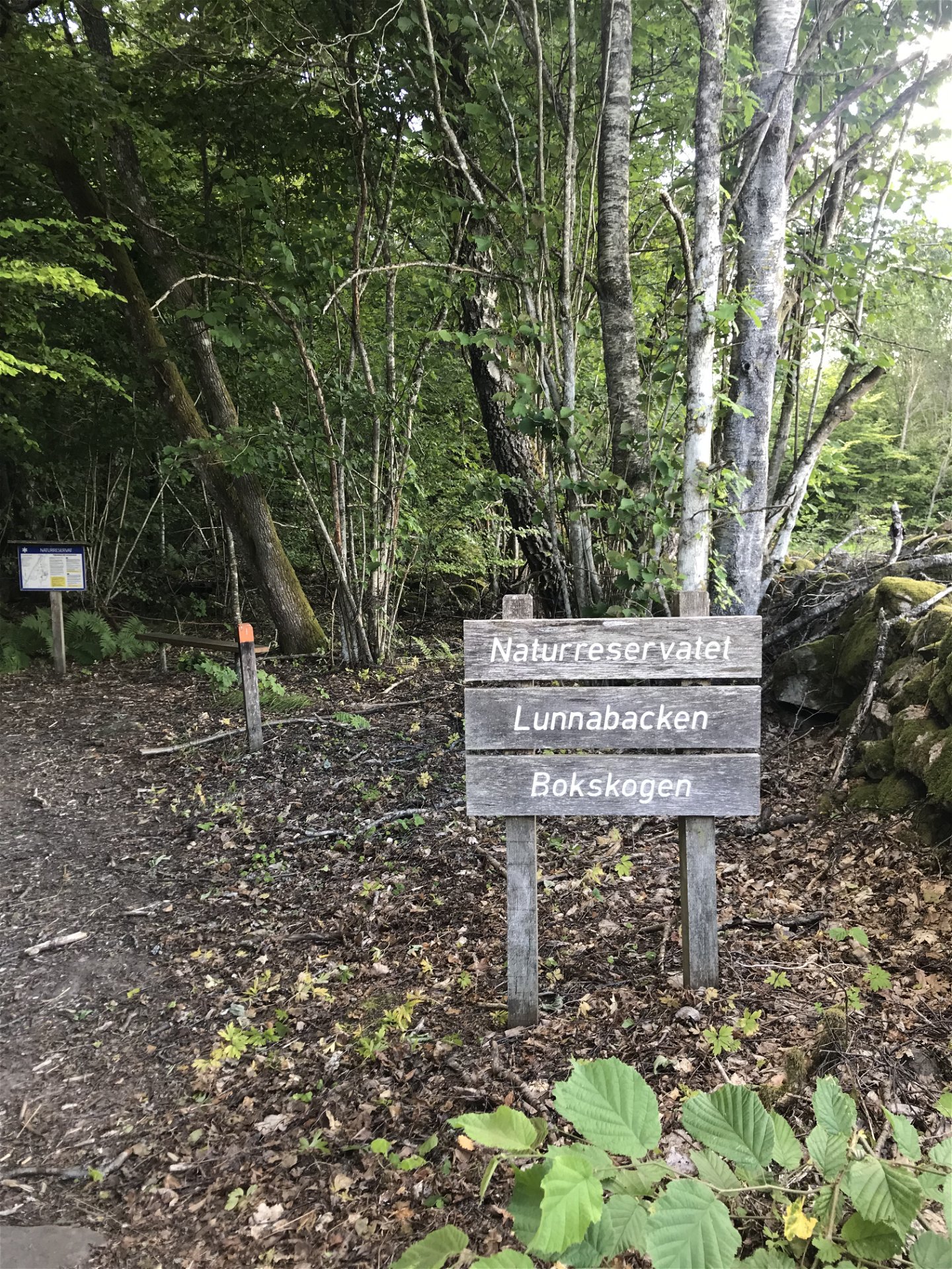


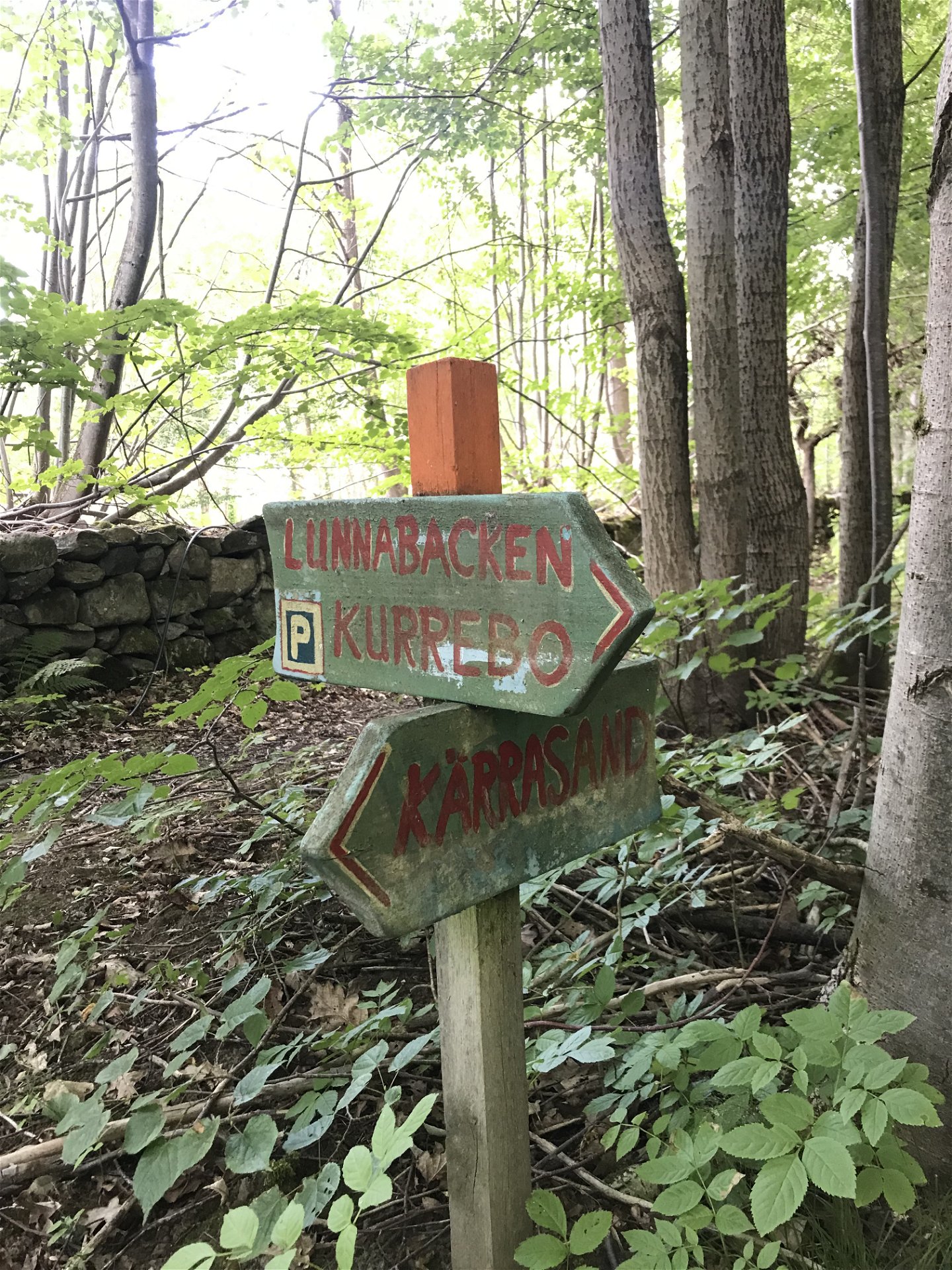

Vandringsled - Lunnabackens naturreservat (orange)
Hiking
- Regio: Kronobergs län
- 6825.68 km van u vandaan
Pad details
- Lengte 3.0 km
- Moeilijkheidsgraad Groen - eenvoudig
Acties
Omschrijving
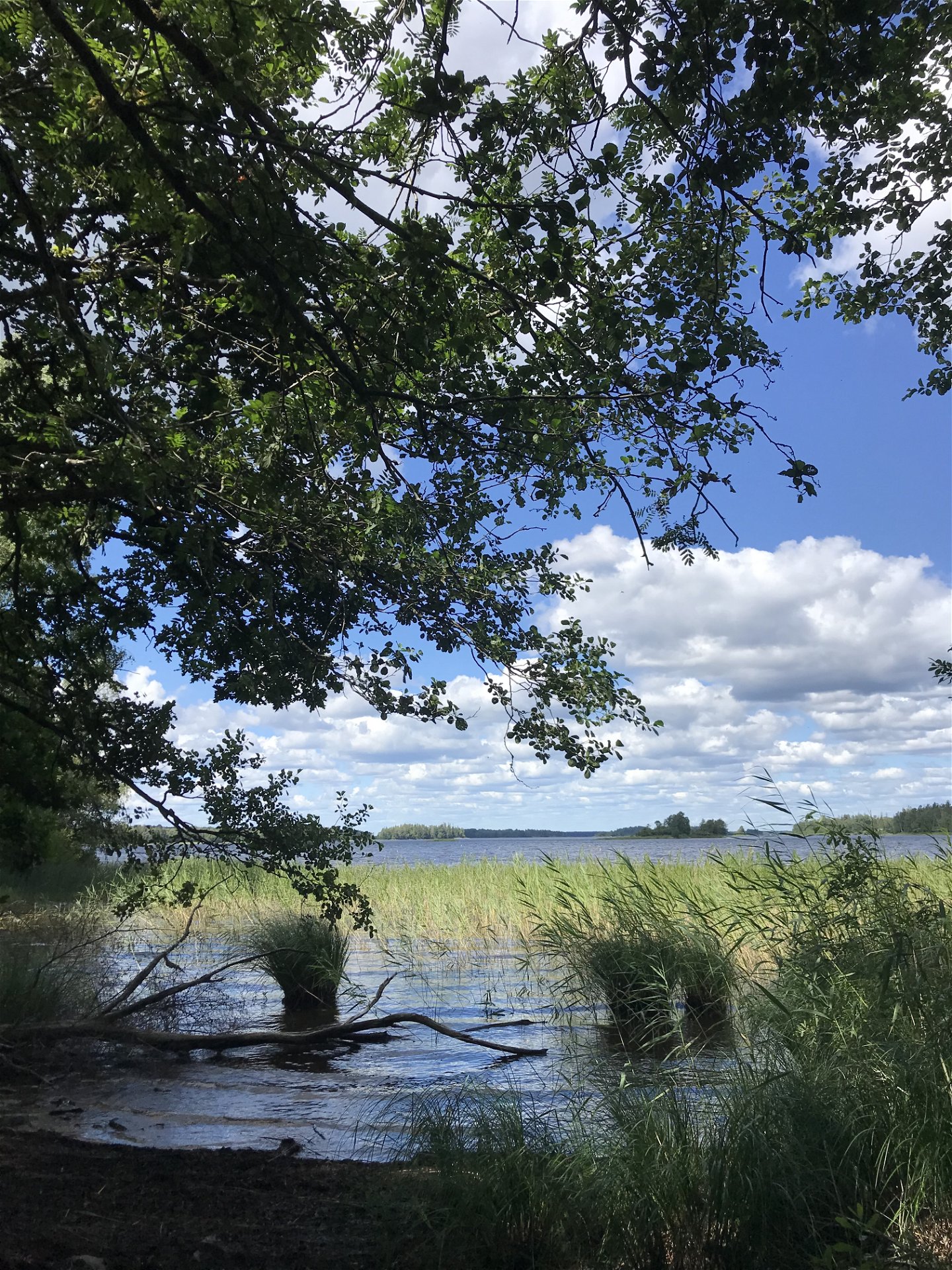
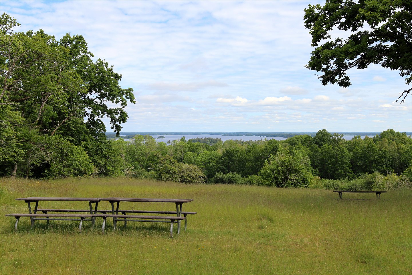
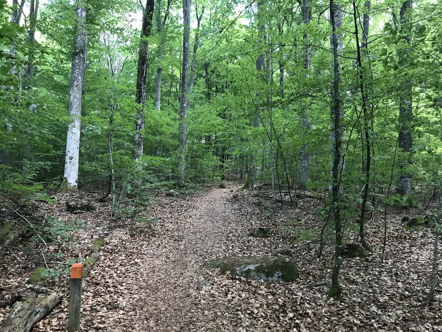
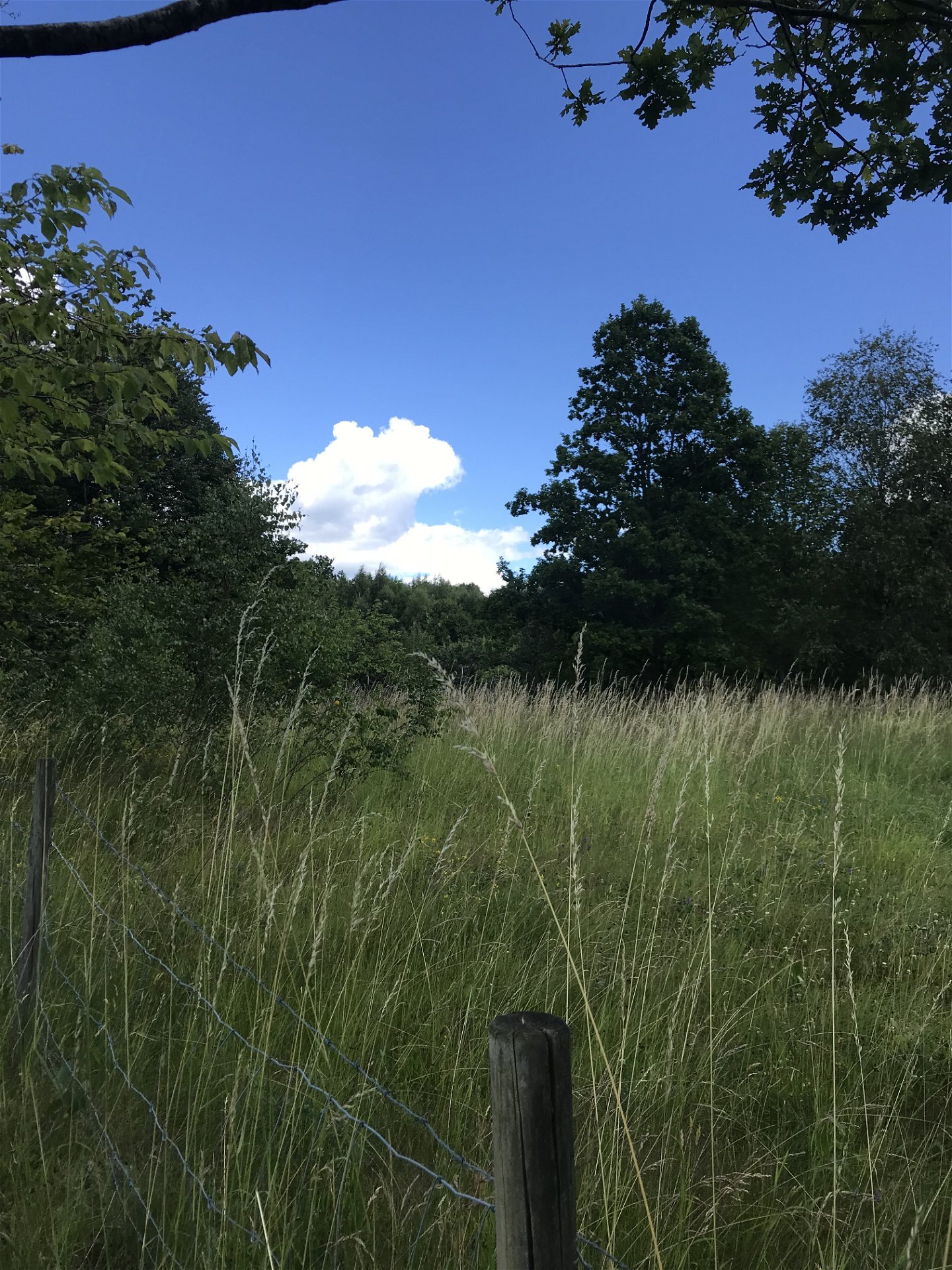
A beautiful hiking trail in the Lunnabacken nature reserve. Enjoy Lunnabacken's meadows, thick trees, grove-like forest and the fantastic view over lake Åsnen. A walking path connects Lunnabacken with the Kärrasand bathing area. Along the path you can experience beautiful restored orchards and the beauty of the beech forest.
Please note that the path along the trail markings in the terrain is not completely passable due to tall grass and slush in summer. The trail as it is drawn here in the Nature Map is the section that currently works best.
Length: approx. 3 kilometers
Trail marking: orange (follow the trail in the nature map)
Activiteiten en faciliteiten
-
Hiking
Contact
E-mailadres
Houd er rekening mee dat sommige teksten automatisch zijn vertaald.
Vragen en antwoorden
Stel een vraag aan andere Naturkartan gebruikers.
