


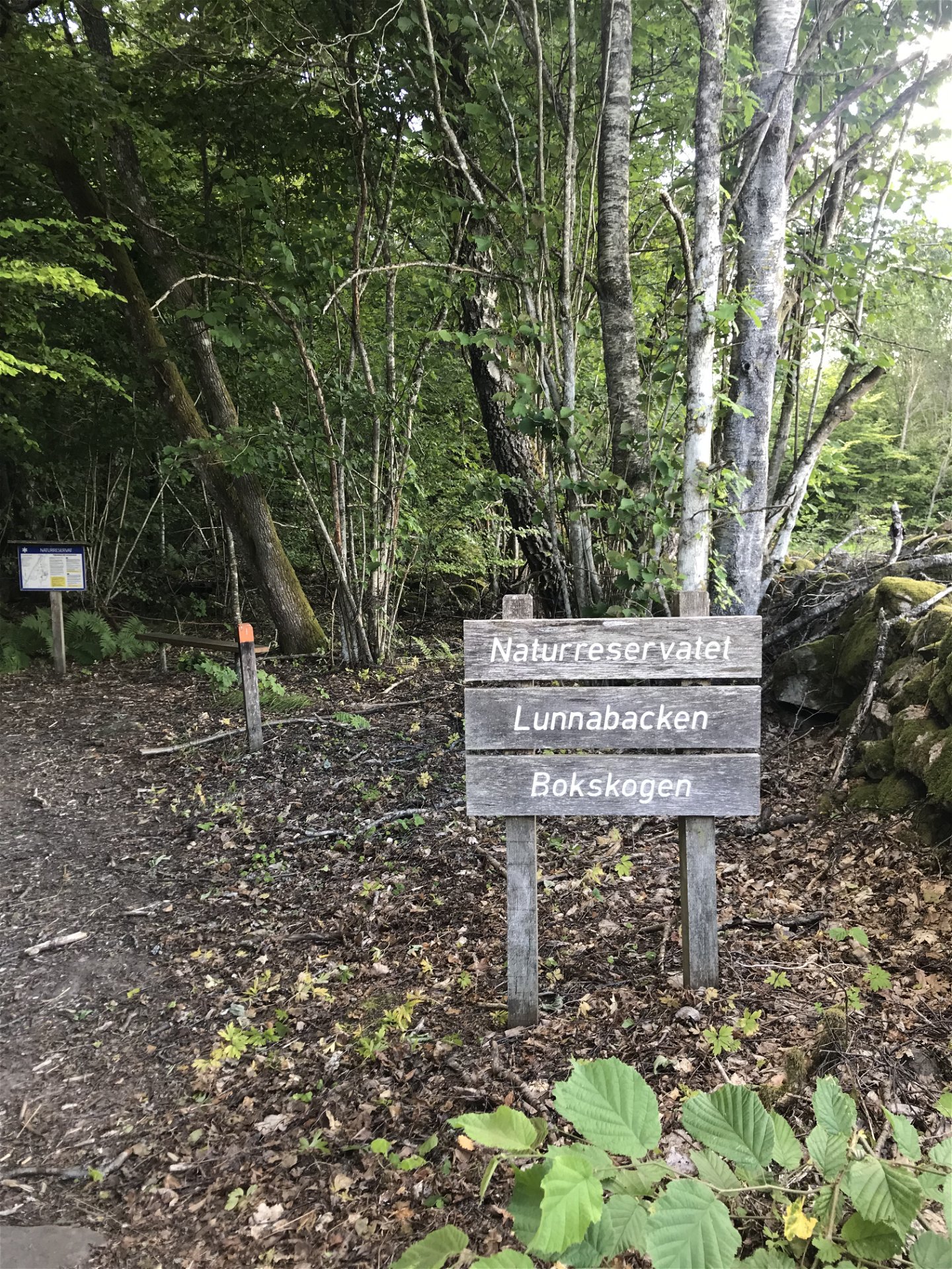


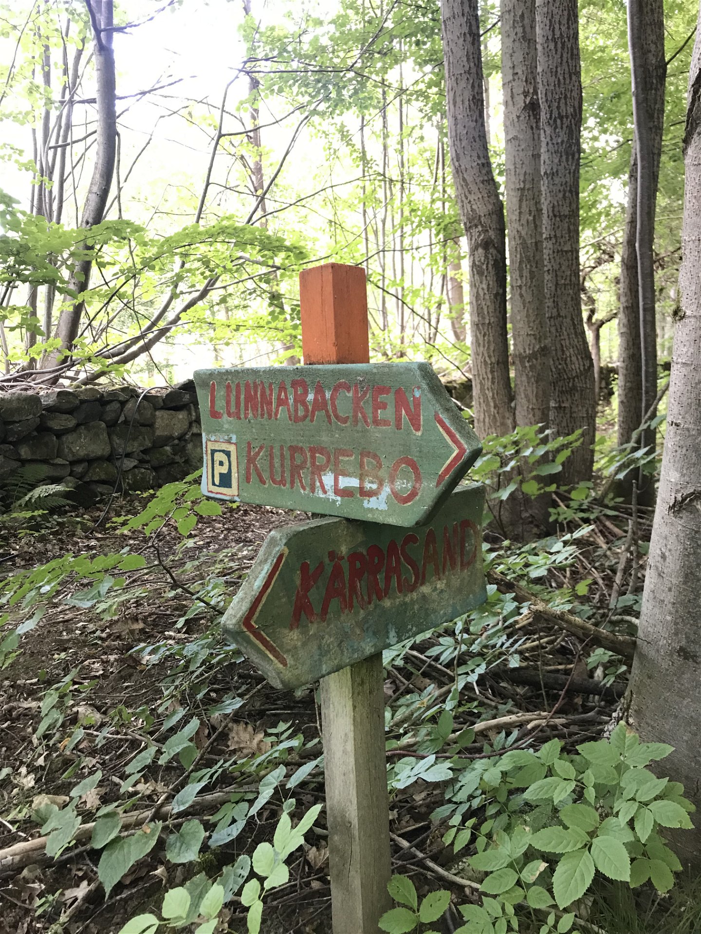

Walking trail - Lunnabacken nature reserve (orange)
Hiking
- County: Kronobergs län
- 6825.68 km away from you
Trail details
- Length 3.0 km
- Difficulty Green - simple
Actions
Description
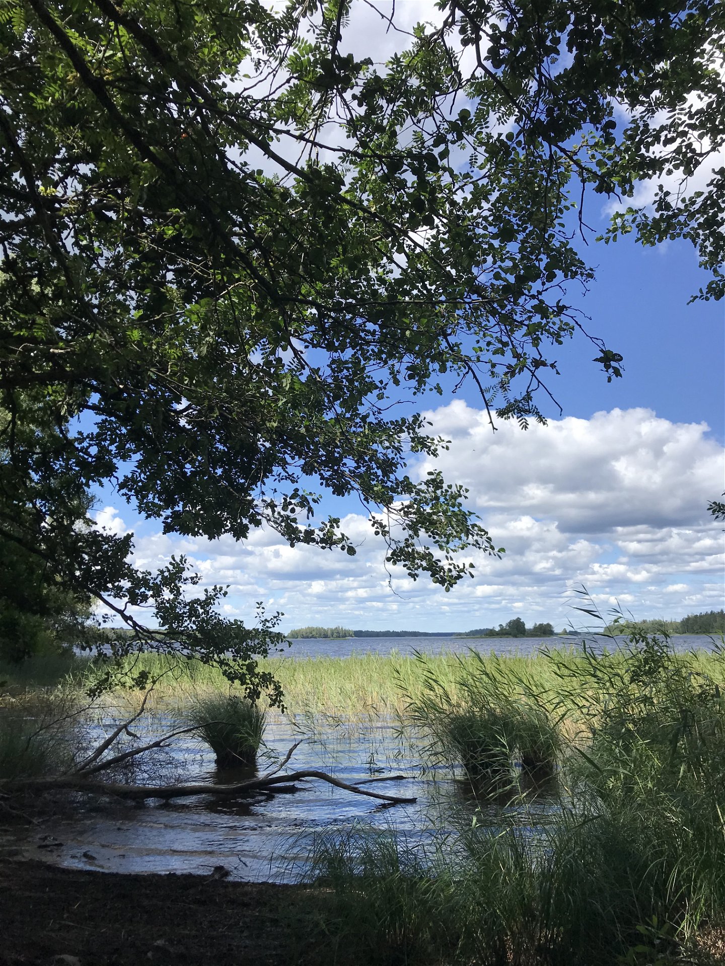
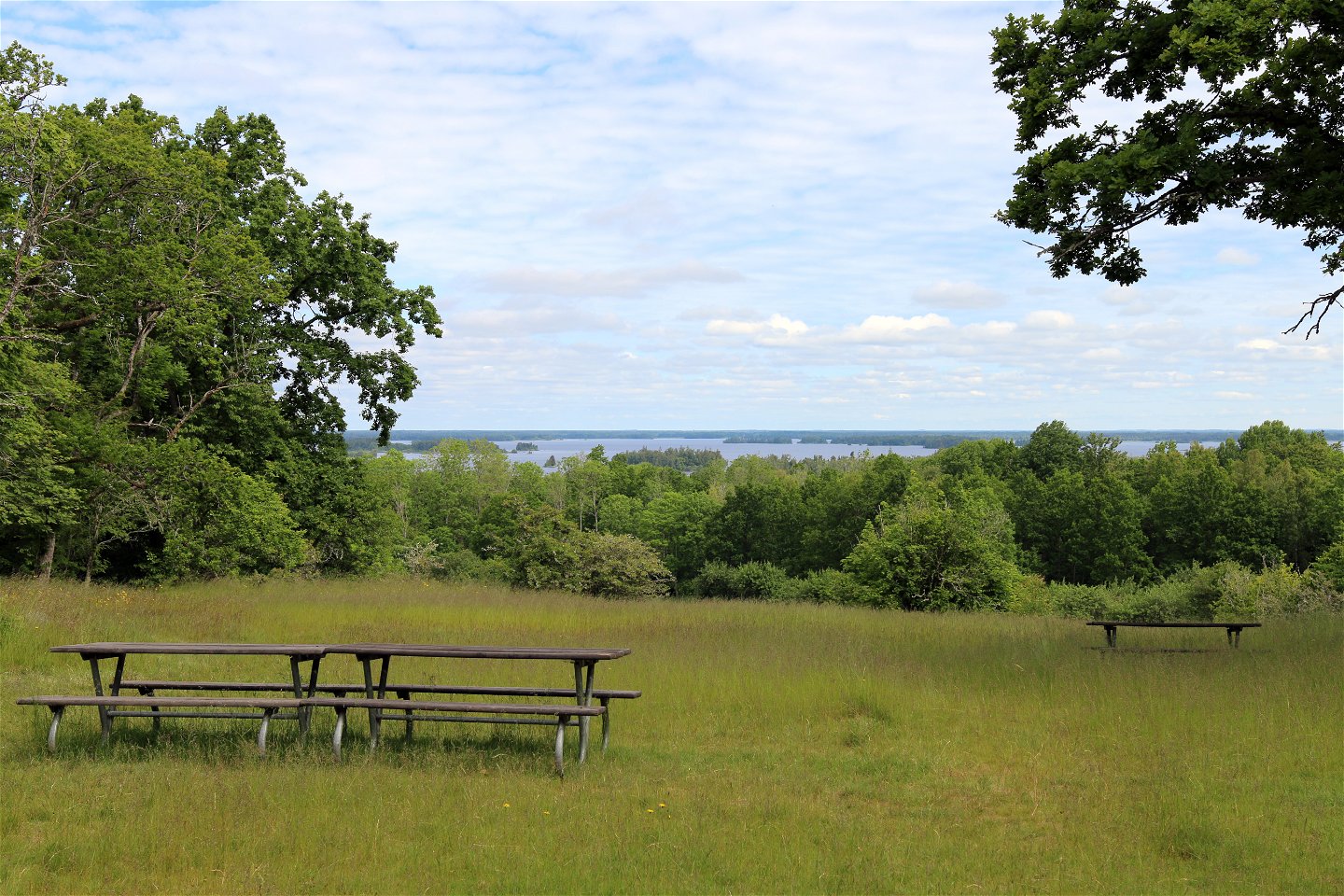
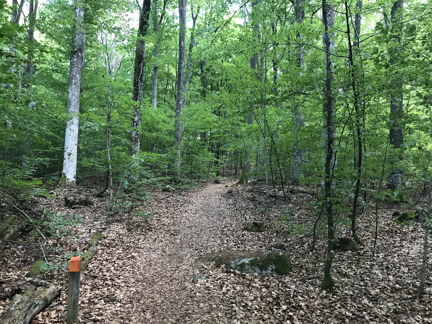
A beautiful hiking trail in the Lunnabacken nature reserve. Enjoy Lunnabacken's meadows, thick trees, grove-like forest and the fantastic view over lake Åsnen. A walking path connects Lunnabacken with the Kärrasand bathing area. Along the path you can experience beautiful restored orchards and the beauty of the beech forest.
Please note that the path along the trail markings in the terrain is not completely passable due to tall grass and slush in summer. The trail as it is drawn here in the Nature Map is the section that currently works best.
Length: approx. 3 kilometers
Trail marking: orange (follow the trail in the nature map)
Activities And Facilities
-
Hiking
Contact
Email address
Questions & Answers
Ask a question to other Naturkartan users.
