
-

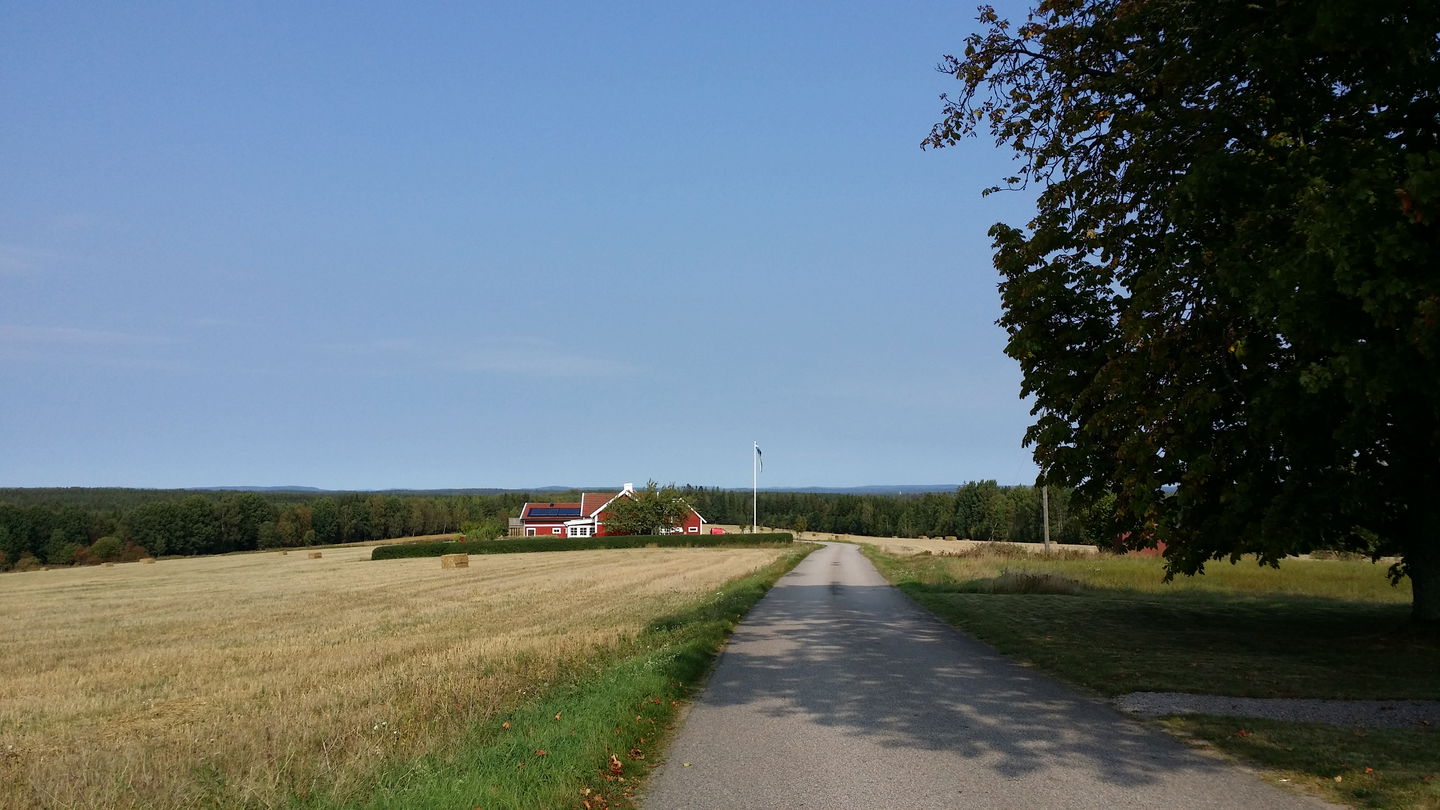
Vy från Nyborg -

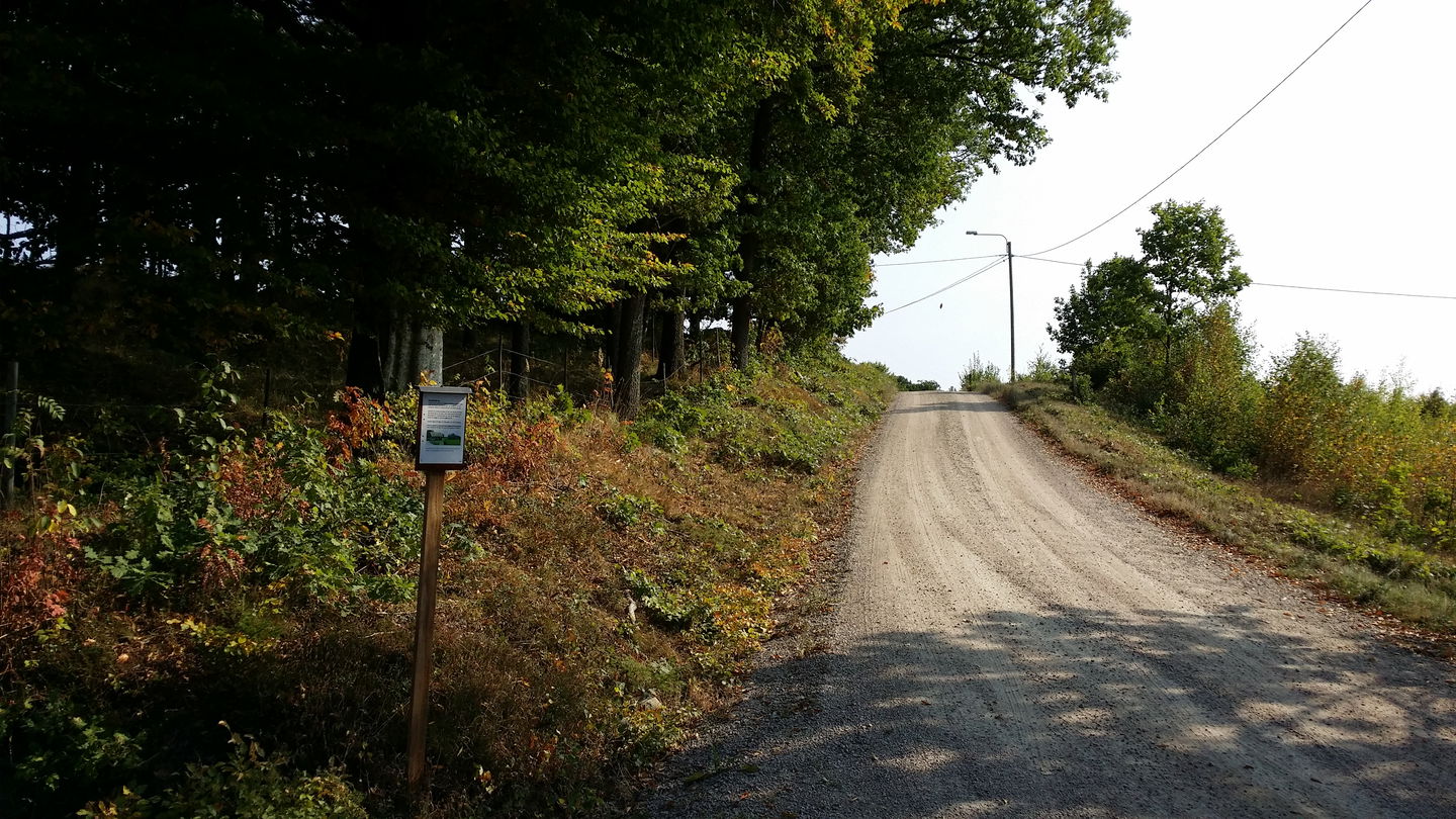
Gasslanda -

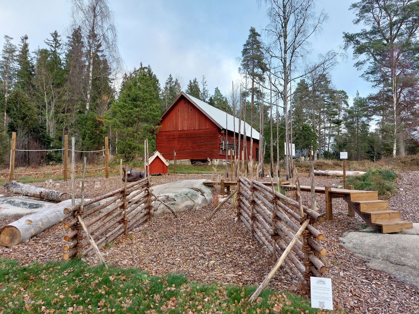
Hembygdsgården Hoppet -

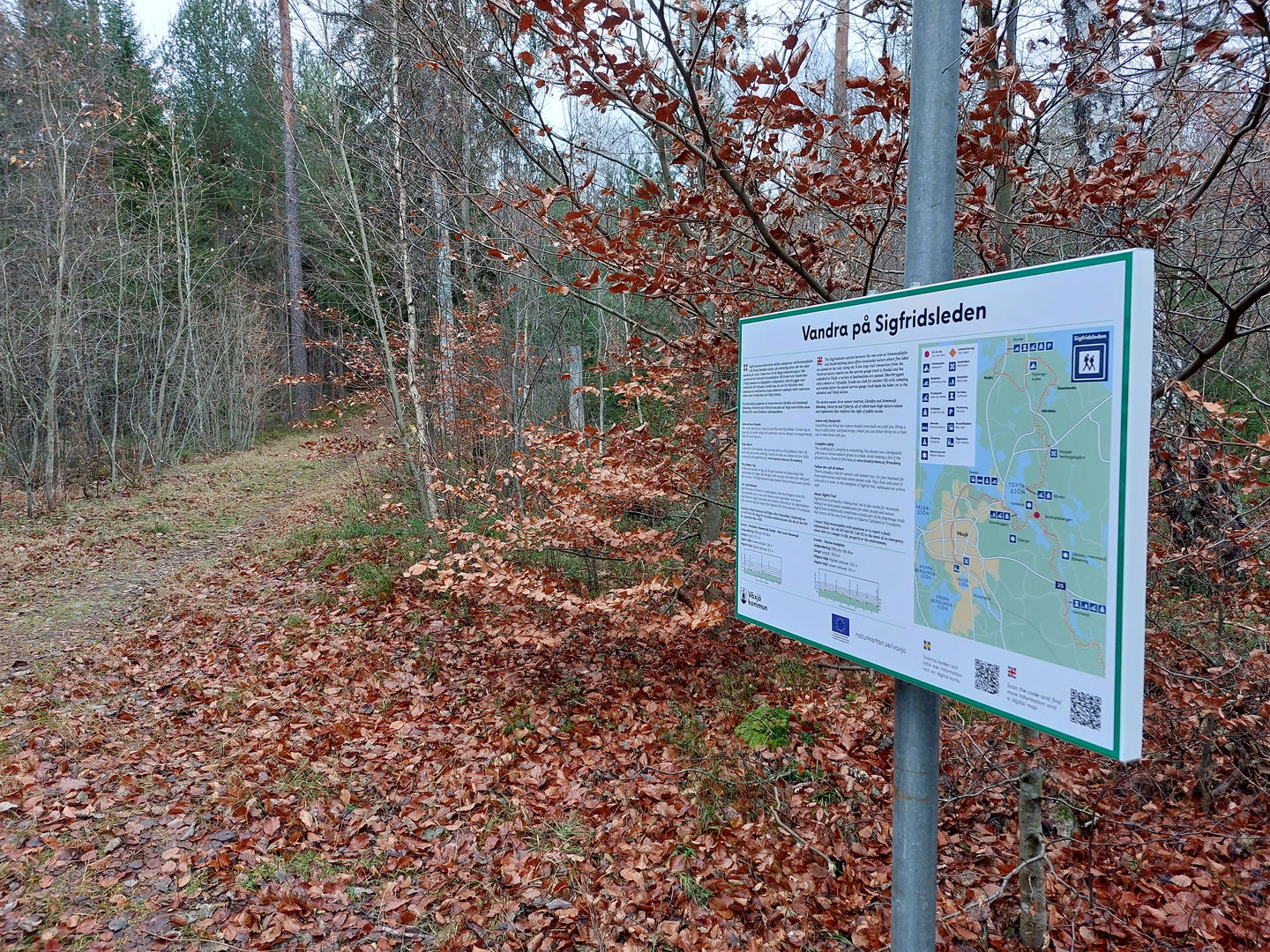
Ledkorsning Notteryd

Sigfridsleden etapp SL3 Stocke-Ekorrbryggan Fylleryd – en del av Smålandsleden
Wędrówki piesze
- Województwo: Kronobergs län
- 6806.55 km od Ciebie
Szczegóły dotyczące szlaku
- Długość 22.5 km
- Czas 4 godz 30 min
- Trudność Niebieski - średni
Akcje
Opis
The stage between Stocke beach and Ekorrbryggan in the Fylleryd nature reserve is mostly easy hiking with trail grading indicated as blue. A mix of paved minor road and gravel road with nice views over the typical Småland agricultural landscape. But also some more natural sections on forest roads and nice paths further south when the Notteryd nature reserve is passed. The water surface of four lakes is visible along the route. Wind shelter and outdoor facilities make it easier to spend the night at Stocke beach and in the Notteryd and Fylleryd nature reserves with the stage ending at Ekorrbryggan. It is, as always – easy to make public access on the hike.
Działania i udogodnienia
-
Wędrówki piesze
Regulamin
Follow the regulations in the Notteryd and Fylleryd nature reserves.
Kontakt
Adres
Telefon 0470-410 00
Adres e-mail
Kontaktcenter
Logotyp organizacji
![]()
Należy pamiętać, że niektóre z tych tekstów zostały przetłumaczone automatycznie.
Pytania i Odpowiedzi
Zadaj pytanie innym użytkownikom Naturkartan.
Recenzja
Może zainteresują Cię również
