
-

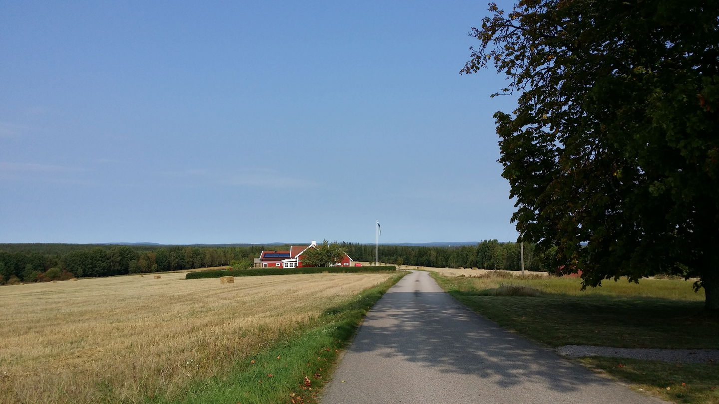
Vy från Nyborg -

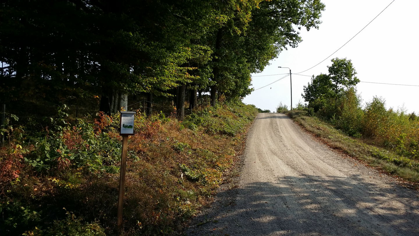
Gasslanda -

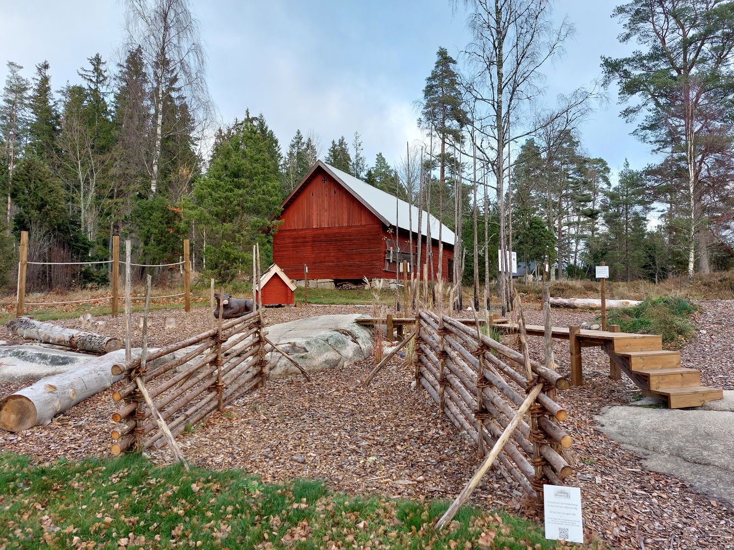
Hembygdsgården Hoppet -

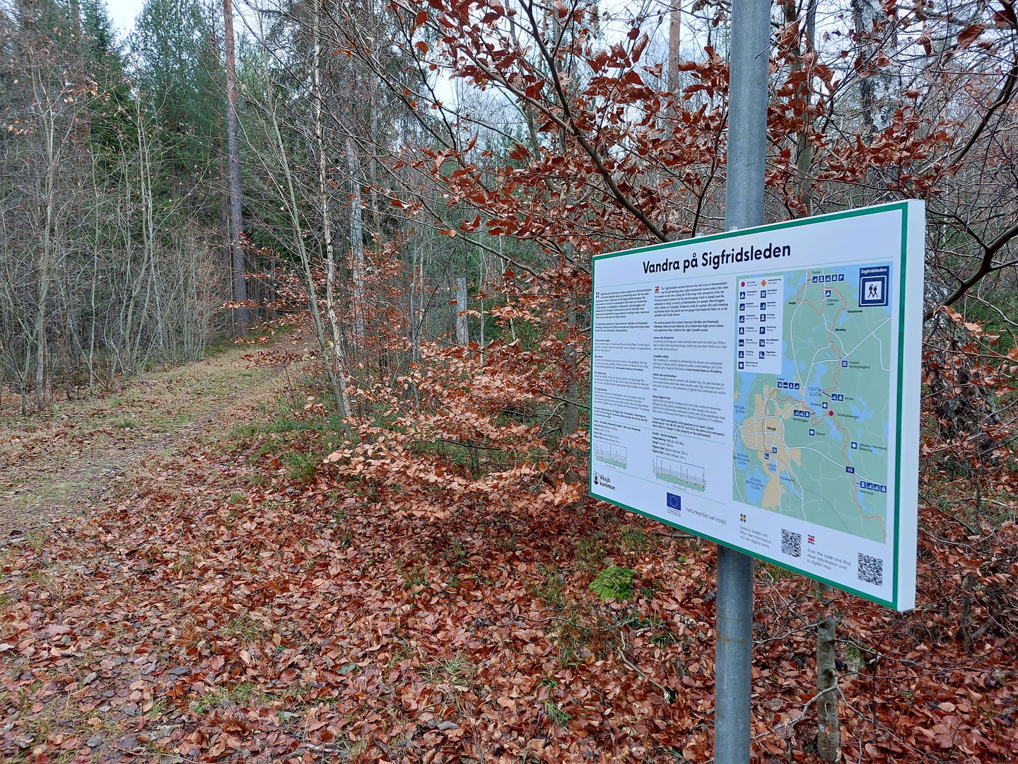
Ledkorsning Notteryd

Sigfrid Trail stage SL3 Stocke-Ekorrbryggan Fylleryd – part of the Småland Trail
Hiking
- County: Kronobergs län
- 6806.55 km away from you
Trail details
- Length 22.5 km
- Time 4 h 30 min
- Difficulty Blue - medium
Actions
Description
The stage between Stocke beach and Ekorrbryggan in the Fylleryd nature reserve is mostly easy hiking with trail grading indicated as blue. A mix of paved minor road and gravel road with nice views over the typical Småland agricultural landscape. But also some more natural sections on forest roads and nice paths further south when the Notteryd nature reserve is passed. The water surface of four lakes is visible along the route. Wind shelter and outdoor facilities make it easier to spend the night at Stocke beach and in the Notteryd and Fylleryd nature reserves with the stage ending at Ekorrbryggan. It is, as always – easy to make public access on the hike.
Activities And Facilities
-
Hiking
Regulations
Follow the regulations in the Notteryd and Fylleryd nature reserves.
Contact
Address
Telefon 0470-410 00
Email address
Kontaktcenter
Organization logotype
![]()
Please be aware that some of these texts have been automatically translated.
Questions & Answers
Ask a question to other Naturkartan users.
Reviews
You might also be interested in
