Bästa cykellederna för cykel och mountainbike i Södermanlands län
Naturkartan samlar de cykellederna i Södermanlands län som är populärast bland våra användare.
Mapa
De bästa cykellederna (84):
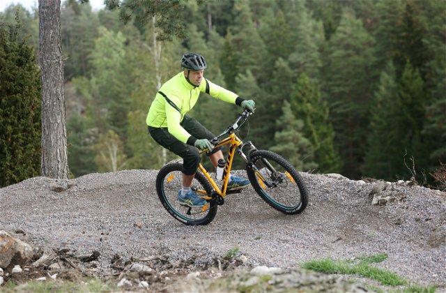
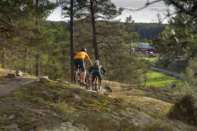
 Rower górski
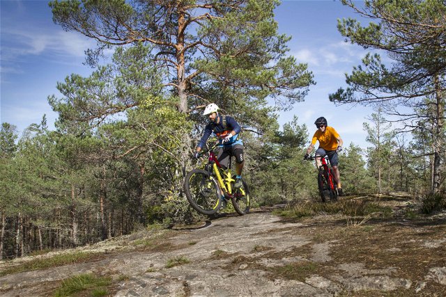