-
Bergs Gård
Zdjęcie: Bergs Gård


Djävulsklippans loop
Rower górski
- Województwo: Södermanlands län
- 6832.34 km od Ciebie
Szczegóły dotyczące szlaku
- Długość 2.0 km
- Trudność Czarny - doświadczony
Akcje
Opis
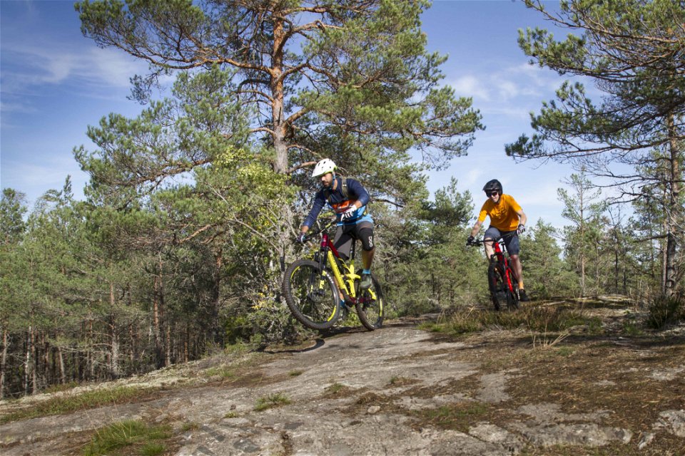
In slalom terms, the Devil's Cliff loop would be described as "black". It starts at Birgers Korsning and is both tricky and tricky. The first half has two steep, difficult descents and the first of them is the Devil's Rock itself. At the northern end there is a recovery before we get to "Westins detour". There we go up and down a small mountain. Demanding, of course! But the loop is great if you put your mind to it, get going and have a little bit of damn spirit in you.

Działania i udogodnienia
-
 Jazda na rowerze
-
Rower górski
-
 Pętla okrężna
Pliki
Należy pamiętać, że niektóre z tych tekstów zostały przetłumaczone automatycznie.
Pytania i Odpowiedzi
Zadaj pytanie innym użytkownikom Naturkartan.
