

-
Foto: Andreas Garpebring -

Foto: Andreas Garpebring -
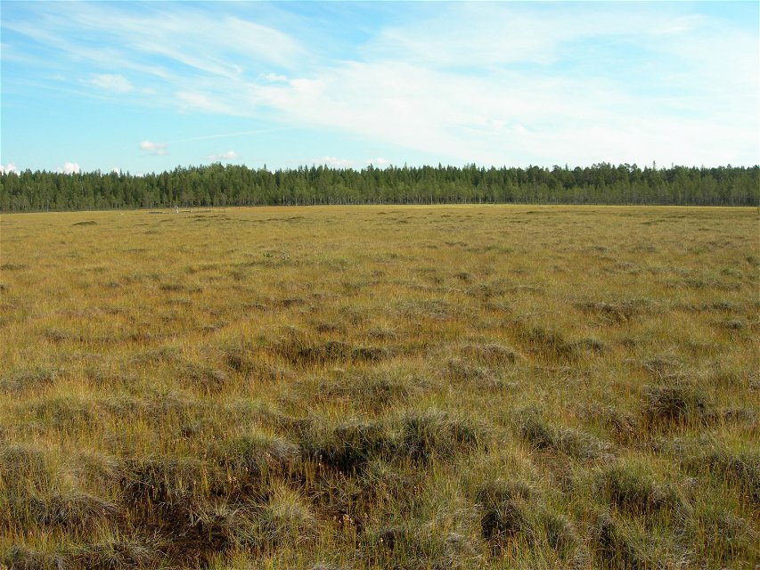
Foto: Länsstyrelsen Västerbotten

Degerö-Stormyr
Natuurgebied
- Regio: Västerbottens län
- 6630.22 km van u vandaan
Acties
Omschrijving
Degerö-Stormyr became a protected reserve back in 1953, and was converted to a nature reserve in 1997. Research and studies have been conducted here since the early part of the 20th century.
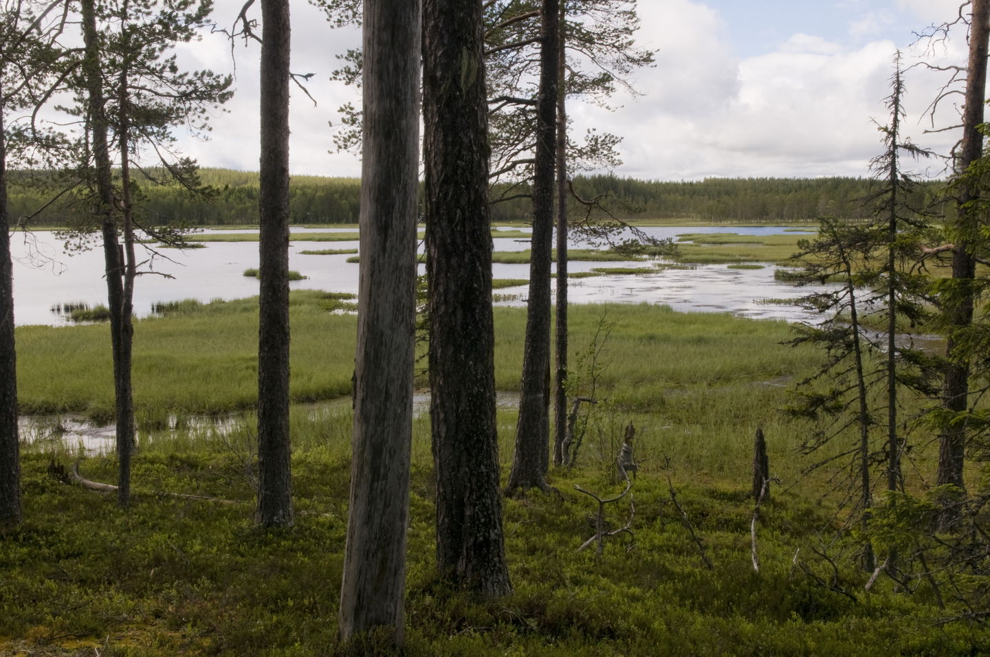
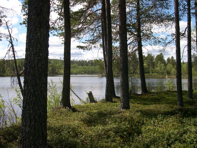
Three large mires make up the Degerö-Stormyr mire complex. Ditches have been created at many points in the mires. On the other hand, older, more beautiful pine trees grow on the islands in the middle of the mires.
Vindeln’s experimental park
Degerö-Stormyr is part of the Swedish University of Agricultural Sciences’ (SLU) experimental area in the Kulbäcksliden experimental park in Vindeln. The mire has been used as a research location for several decades. The first dissertation to contain ecological and biochemical studies was published as long ago as 1923. Today, the research mainly focuses on the mire’s emissions of greenhouse gases into the atmosphere.
Activiteiten en faciliteiten
-
Natuurgebied
Routebeschrijving
The reserve is located 9 km west-southwest of Vindeln.
Contact
E-mailadres
Länsstyrelsen Västerbotten
Organisatie-logotype
![]()
Houd er rekening mee dat sommige teksten automatisch zijn vertaald.
Vragen en antwoorden
Stel een vraag aan andere Naturkartan gebruikers.
Beoordelingen
Misschien bent u ook geïnteresseerd in
