-
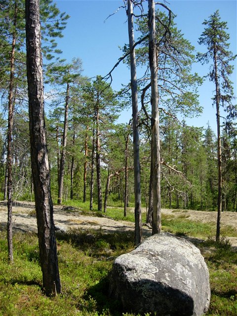
Foto: Anna Wenngren -

Foto: Anna Wenngren

Bålforsen
Natuurgebied
- Regio: Västerbottens län
- 6559.49 km van u vandaan
Acties
Omschrijving
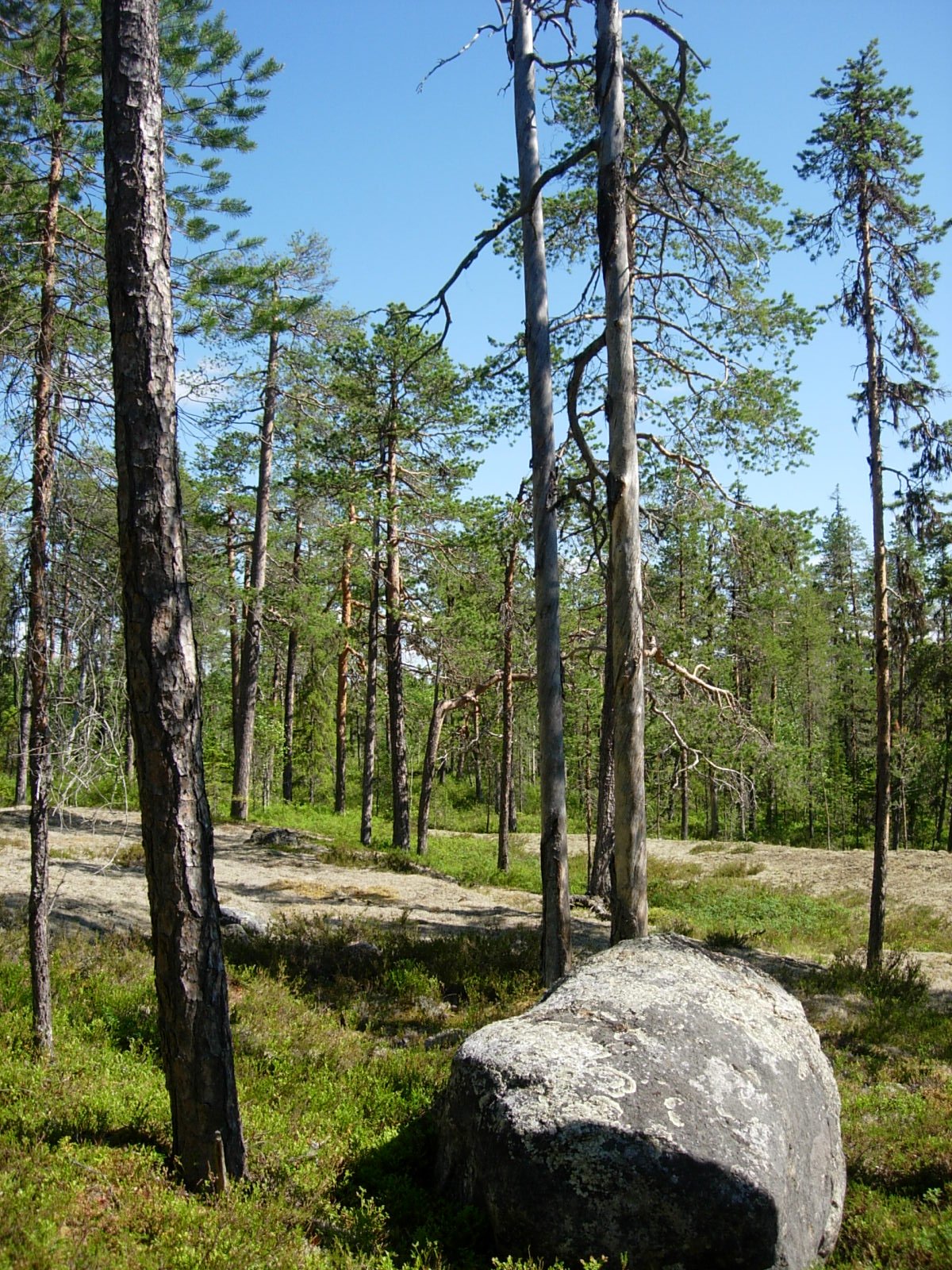
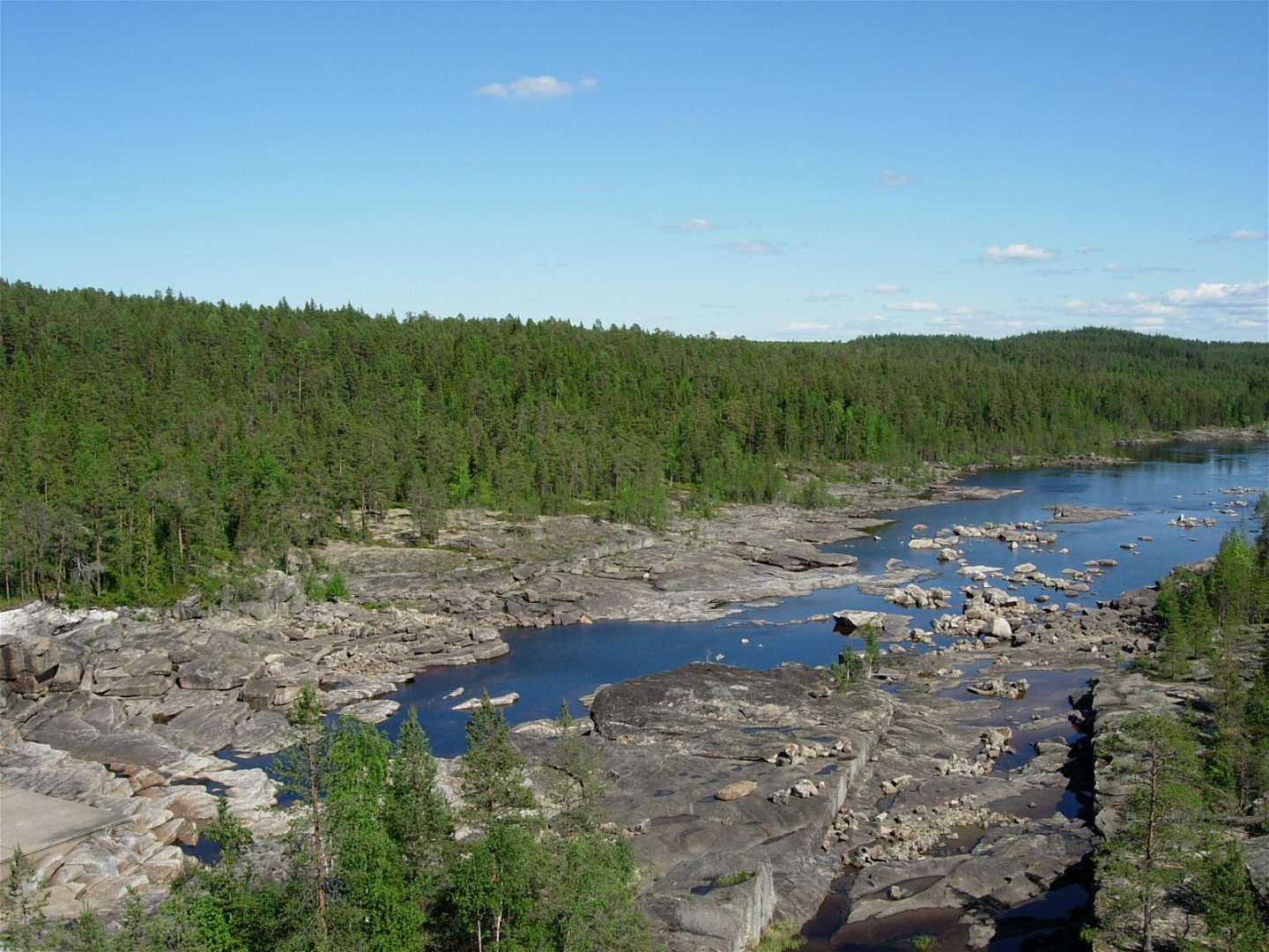
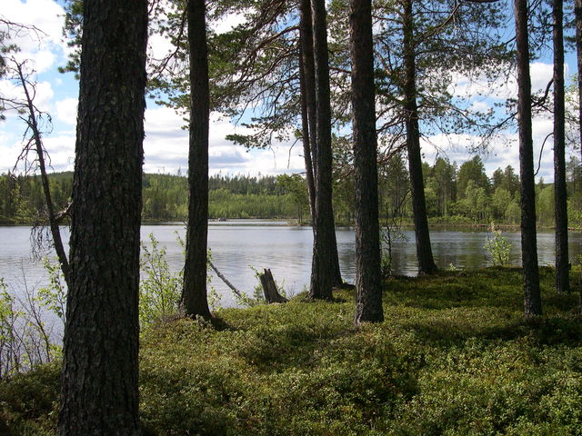
A wonderful mixed forest including pine, spruce and deciduous trees grows on the slopes that dip down towards the Umeälven river in Bålforsen nature reserve. Most of the pines are around 250 years old, although some are up to 350 years of age.
You can access the reserve easily on the road that passes through the area. There is a small sandy beach in the western part, and you can find a barbecue area next to the power station dam.
Cultural environment
Just outside the reserve’s boundaries in the south-east is a distinct, very well preserved timber driving wall.
Activiteiten en faciliteiten
-
Natuurgebied
Routebeschrijving
The reserve is located 3.5 km NW of Betsele in Lycksele municipality. The reserve is a south-facing slope down to the banks of the Ume River at the height of Bålforsen power station.
Contact
E-mailadres
Länsstyrelsen Västerbotten
Organisatie-logotype
![]()
Houd er rekening mee dat sommige teksten automatisch zijn vertaald.
Vragen en antwoorden
Stel een vraag aan andere Naturkartan gebruikers.
Beoordelingen
Misschien bent u ook geïnteresseerd in
