
200 kilometer Tjustled
Tjustleden är Västerviks flaggskepp när det kommer till vandringsleder. Med totalt ca 200 km vandring…


Hiking
Stage 4 is about 14 kilometers via Törnsfall to the shelter at Mjösjön.Just before Törnsfall, a connection to Västervik at Marsbäcken, about 8 kilometers. If you enter the northern connection to Västervik (extended to Marsbäcken), you get a total of about 20 kilometers of hiking.
Stage description, from south to north (Valstad mill towards Törsnfall)
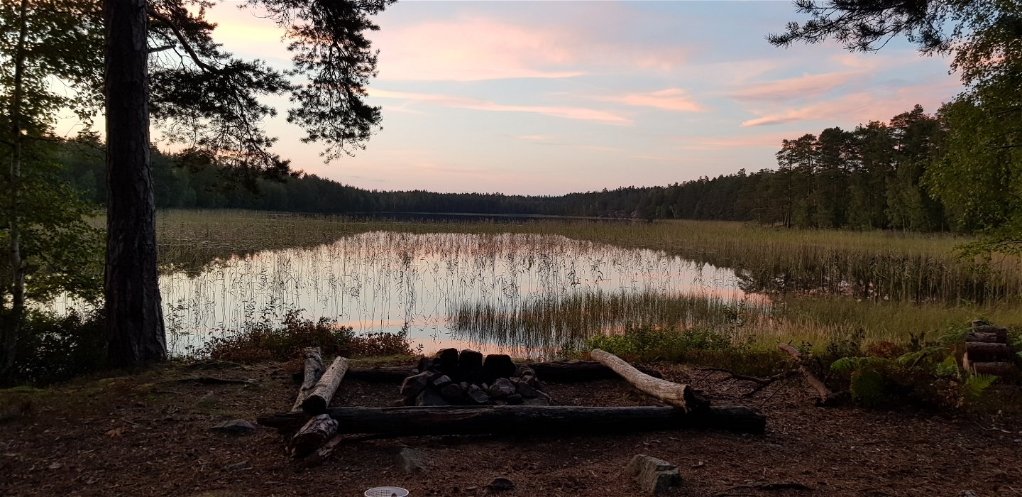
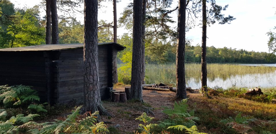
The stage starts at the Valstad mill's shelter. After about 2 kilometers you reach Mjösjön, where you can rest and swim. The trail passes the former Bresjön - a lake lowered to create farmland. The flora testifies to the former lake with, among other things, pors and skvattram. A croft, Ulriksberg, is passed before the trail reaches the next nice resting place at the lake Stora Svinnaren.
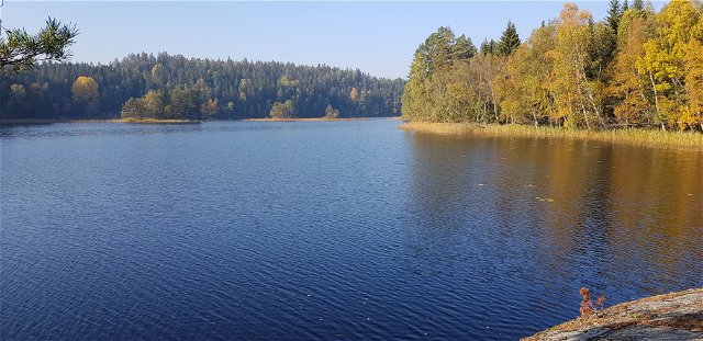
The trail passes the road between Svinnersbo and Mommehål and then the remains of the croft with the pleasant name Soluppgång. When you just reach Lake Hjorten, you can also take a break. The water is very clean and the lake has been the drinking water source for Västervik since 1923. The Tjust Trail then follows the western shore of the lake on easy old roads. Osprey and Eurasian bittern can be seen in the lake. The trail turns towards Törnsfall and soon you find the connection to Marsbäcken and Västervik (see text below). The main trail continues towards Törnsfall church and the stage ends at a shelter in a high-stemmed pine forest at the southern tip of Mösjön.
Törnsfall church is an attraction. Alongside St. Gertrude's church in Västervik, it is the only preserved medieval church in Tjust. The name "Thörnesfalla", as it used to be, is attributed to "thörne" which means thorn bush, combined with "fall", which probably means a cleared slope, burnt field or the like. An old legend tells of a Christian apostle named Törne, who was beaten to death here and later, as a martyr, gave the parish its name ... The presence of Bronze Age cairns shows that there were people on the site very early. The church is the only remaining building in the village from the 12th century. This applies at least to the tower, which seems to have been built as a defense tower. The nave dates from the 14th century, but traces of an even older wooden church have been found. The people of "Thörnesfalla" embraced the new doctrine early on and displaced the Asa culture. Several church restorations have been carried out, but the beautifully exposed granite blocks have been retained.
Text: The Nature Conservation Association in Tjust
Hiking
Lead agency: Naturskyddsföreningen i Tjust, tjust.naturskyddsforeningen.se/
Marking: Orange rings around tree trunks and on stakes and arrows (according to Swedish standards)
Overnight stay: Timber shelter is available at the start and finish
Sanitary: TC available at start and finish
Adress: Stora torget 4, 59333 Västervik
Västerviks turistbyrå
Houd er rekening mee dat sommige teksten automatisch zijn vertaald.
Stel een vraag aan andere Naturkartan gebruikers.
Tjustleden är Västerviks flaggskepp när det kommer till vandringsleder. Med totalt ca 200 km vandring…

