-
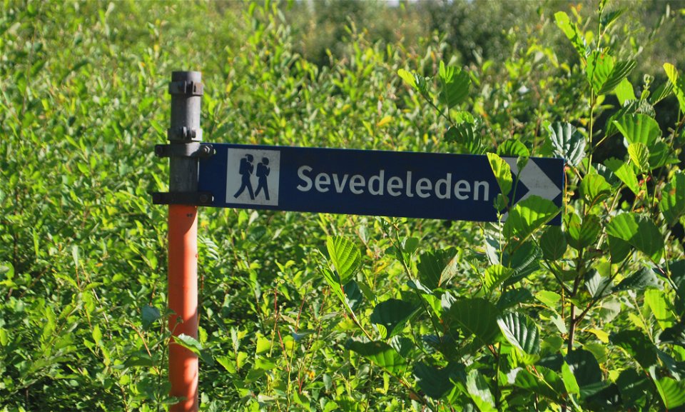
Sevedeleden -
Sevedeleden -

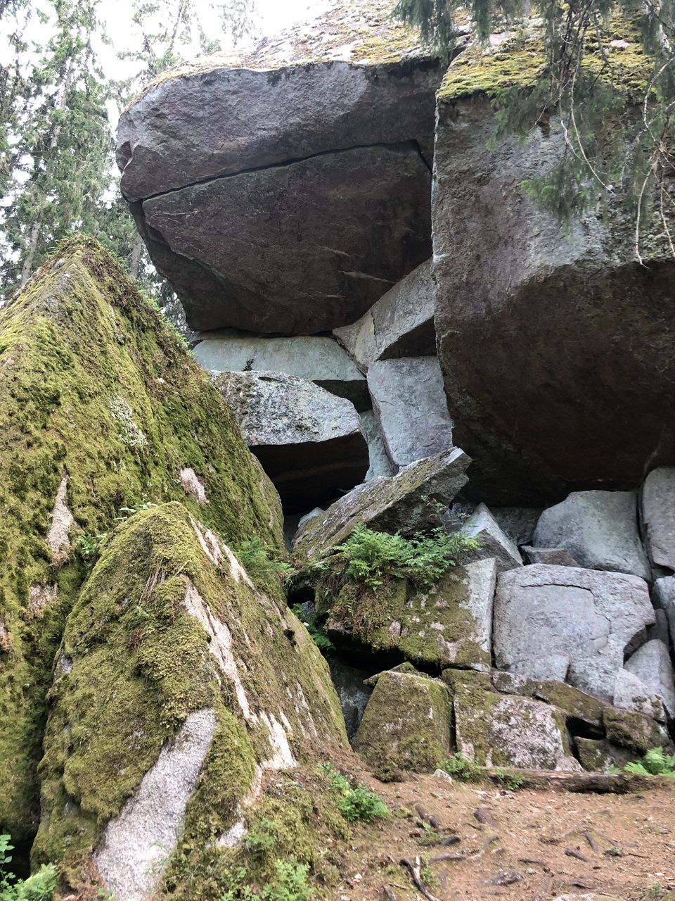
Amaliagrottan, Försjön -

Sevedeleden -
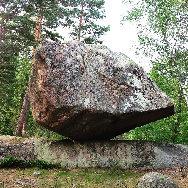
Runkesten -

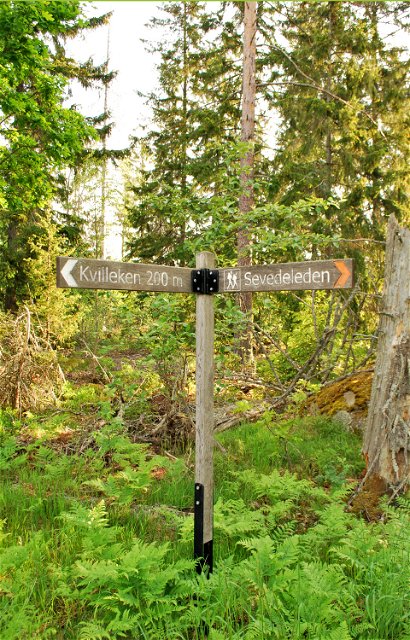
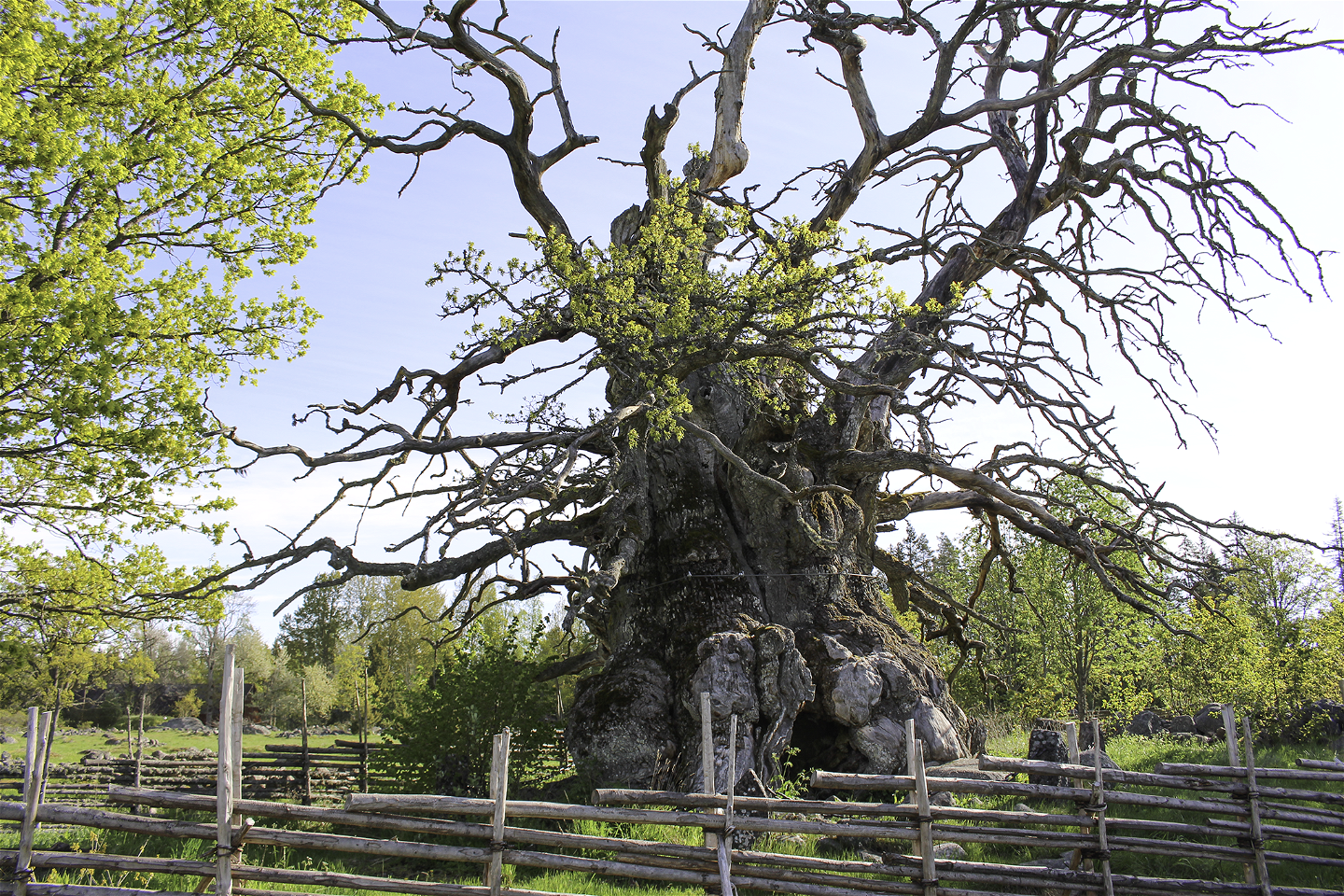
Kvilleken
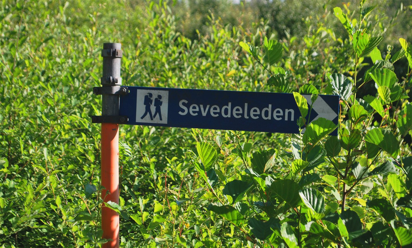
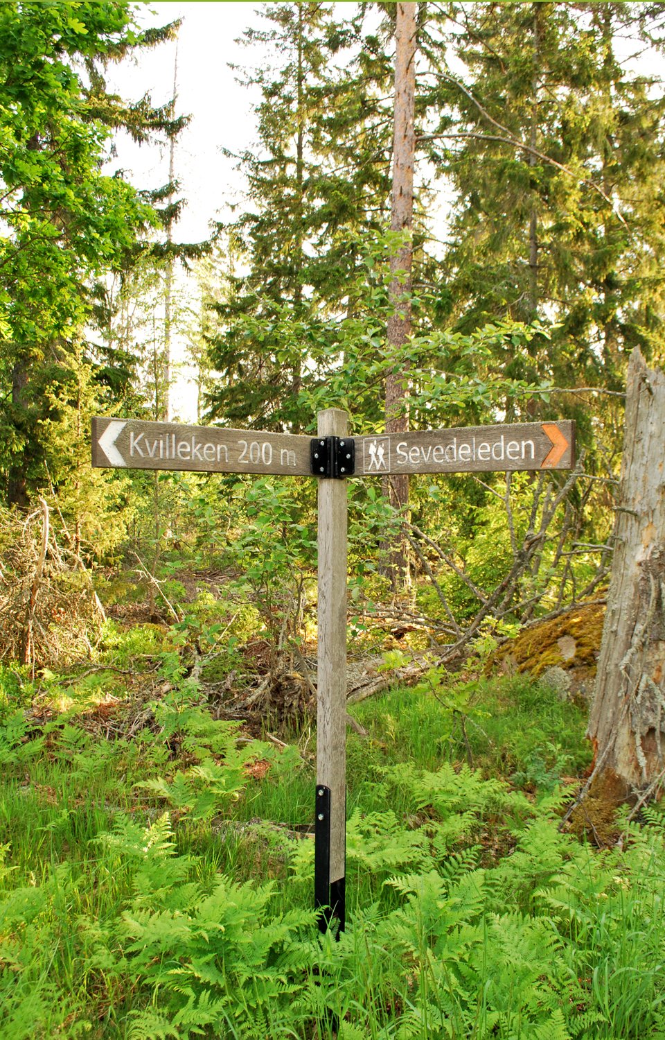
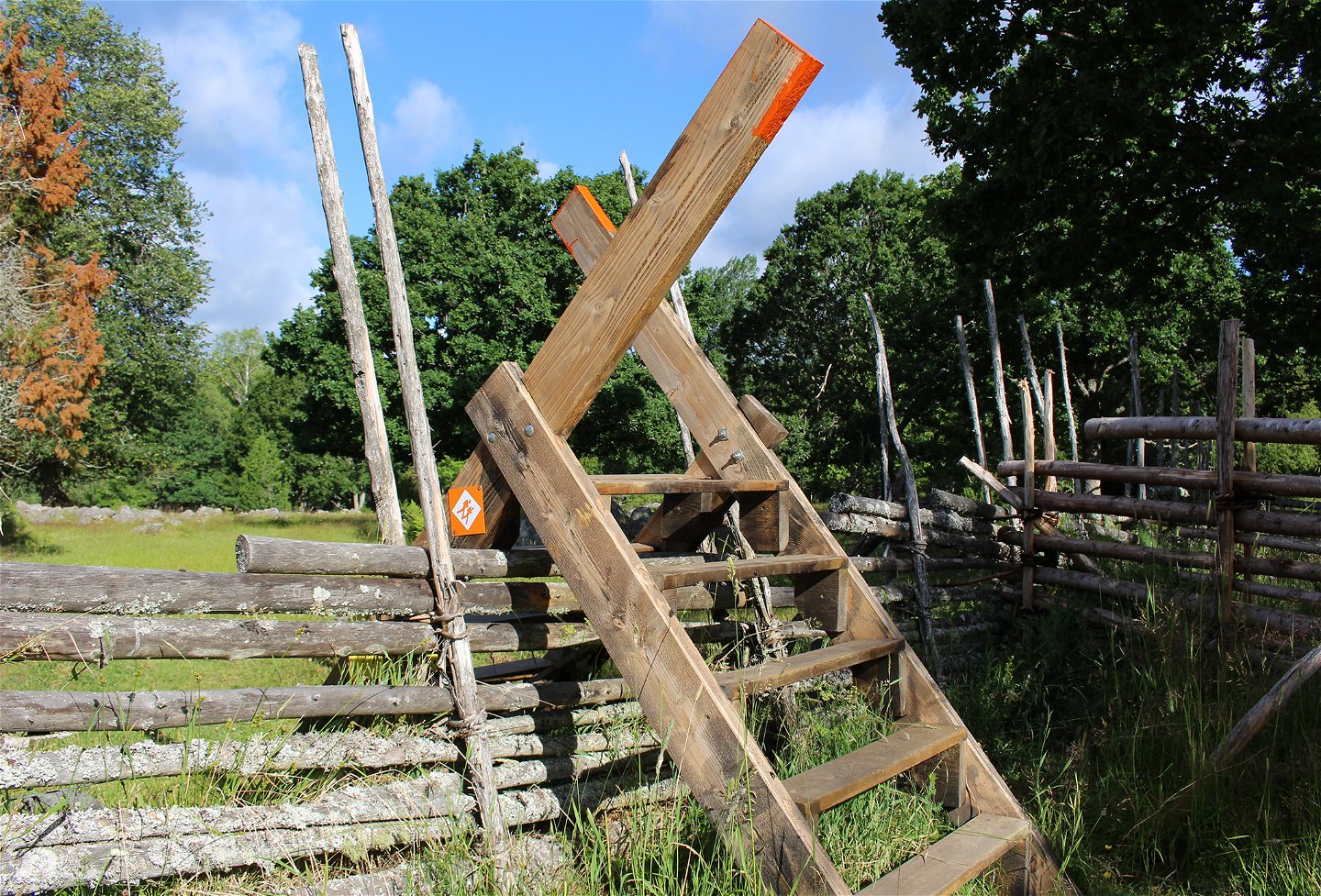

Sevedeleden
Hiking
- Regio: Kalmar län och Öland
- 6802.19 km van u vandaan
Pad details
- Lengte 50.0 km
Acties
Omschrijving
The Sevedeleden is a 50-kilometer round loop and has orange markings, it runs in a scenic environment with access roads of 18 and 35 kilometers to and from Lönnebergaleden (+18 kilometers) and Östgötaleden (+35 kilometers).
Stage 1, Mariannelund to Övrakulla is 16 kilometers.
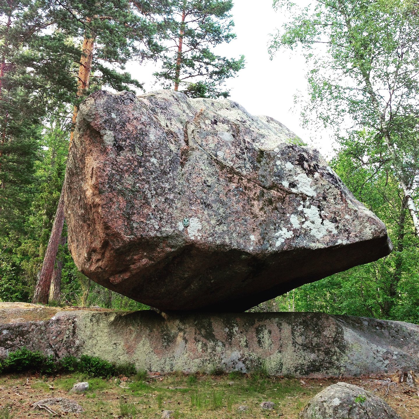
Here you pass, among other things, Runkesten, which is a large moving block that can be "cradled" only by hand power and you go through Trollegata, which is a ravine with steep walls. In Övrakulla there is a windbreak.
**Stage 2, Övrakulla to Mossebo is 26 kilometers, the trail passes through Kvill's nature reserve where the 1000-year-old Kvilleken stands. In the village of Södra Kvill there is drinking water and between the oak and the village there is a windbreak.
Mossebo Gästhem is an old manor house dating back to the 12th century, it is a museum, a restaurant that also has 2 rental rooms and there is also an old stately home that you can spend the night in, the barn has cooking facilities and water, it is only open to hikers.
**Stage 3, Mossebo to Mariannelund is 8 kilometers.
Activiteiten en faciliteiten
-
Hiking
-
 Rond pad
Houd er rekening mee dat sommige teksten automatisch zijn vertaald.
Vragen en antwoorden
Stel een vraag aan andere Naturkartan gebruikers.
