-

Djursdalarundan -

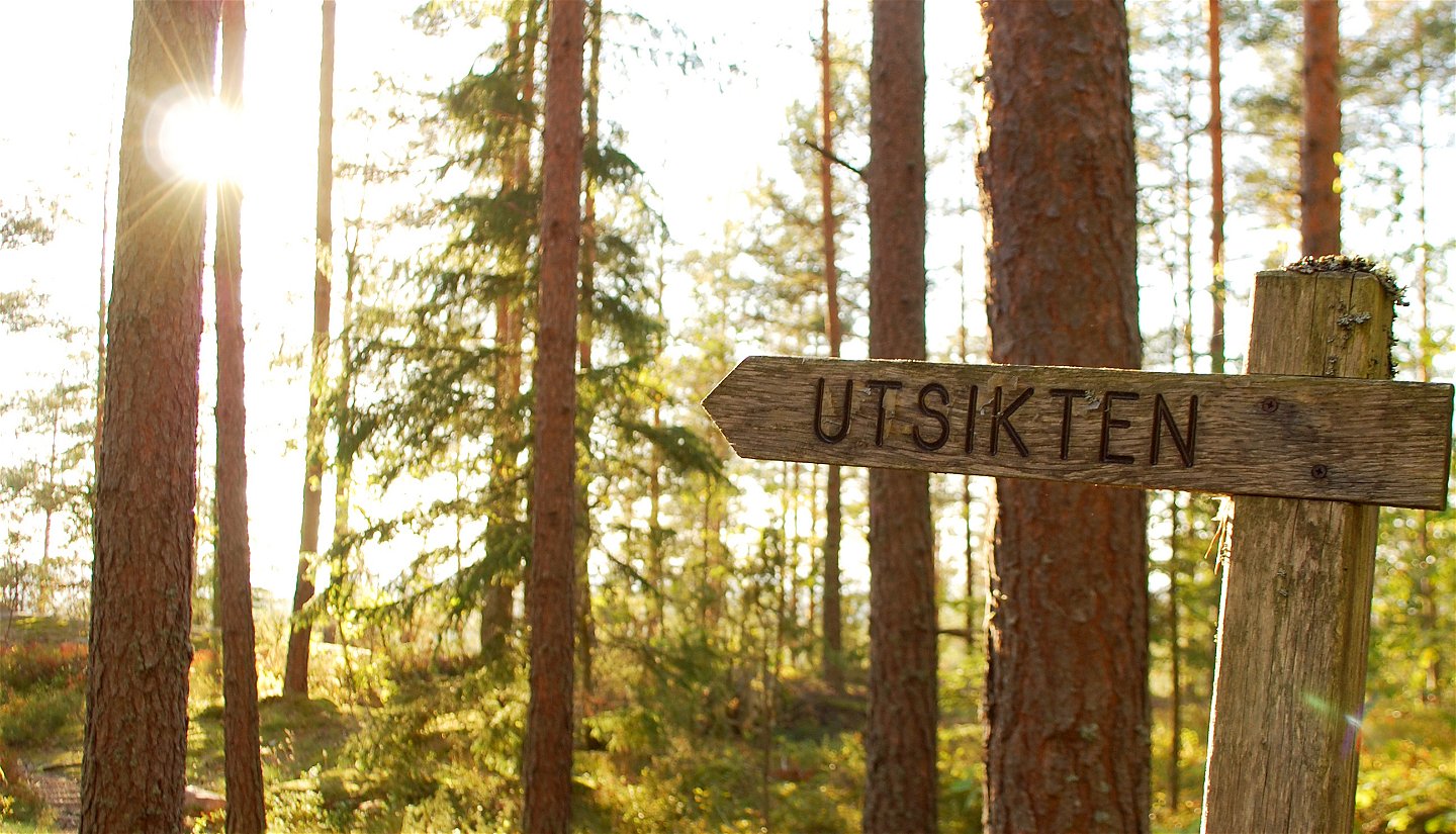
Utsikten

Djursdalarundan
Hiking
- Regio: Kalmar län och Öland
- 6816.21 km van u vandaan
Pad details
- Lengte 6.7 km
- Moeilijkheidsgraad Blauw - medium
Acties
Omschrijving
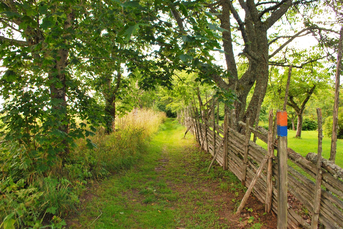
Djursdalarundan is an approximately 7 kilometer long hiking trail through varied nature rich in cultural heritage. It is aimed at the interested and exercising public. The hiking trail goes partly in hilly terrain and in several places there are information signs about the trail's culture and history.
You can find the start and finish in Ungstorp or Snokebo, from there you follow the blue markings in the terrain

Activiteiten en faciliteiten
-
Hiking
-
 Rennen
-
 Trailrunning
-
 Rond pad
Feiten
Djursdalarundan was established in 1974 by Sevedebygden's nature conservation association, and around 10,000 people pass through every year.
You can walk this route to learn more about the UN Convention on the Rights of the Child and Agenda 2030, and there are signs with information and exercises.
Parkeren
More parking spaces are available at the starting point in Ungstorp.
Snokebo has a few.
Houd er rekening mee dat sommige teksten automatisch zijn vertaald.
Vragen en antwoorden
Stel een vraag aan andere Naturkartan gebruikers.
