
-
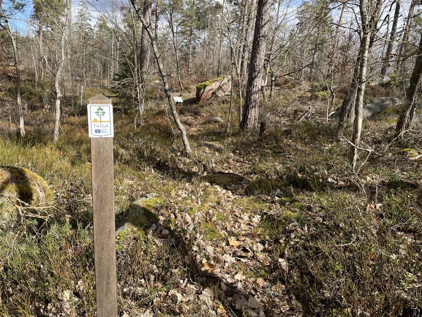
Foto: Anna Lindberg -
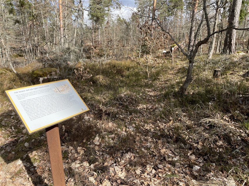
Foto: Anna Lindberg

Taigastigen
Rond pad
- Regio: Kalmar län och Öland
- 6869.02 km van u vandaan
Pad details
- Lengte 0.8 km
Acties
Omschrijving
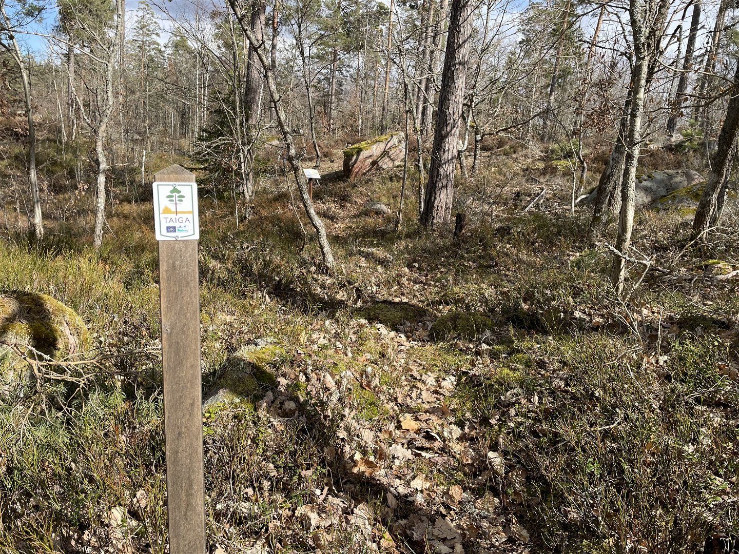
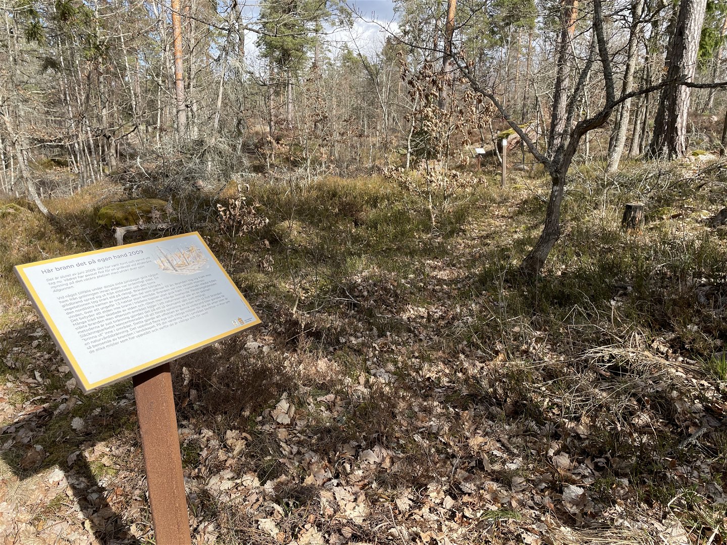
This shorter circular trail goes through an area that has been burned by nature conservation and an area that has been burned by forest fire. Along the trail there are information signs that tell about different fire-affected environments and special tracks in the terrain. The route is marked with taiga symbols.
Activiteiten en faciliteiten
-
 Hiking
-
Rond pad
Contact
E-mailadres
Per Markus Jönsson
Organisatie-logotype

Houd er rekening mee dat sommige teksten automatisch zijn vertaald.
Vragen en antwoorden
Stel een vraag aan andere Naturkartan gebruikers.