
Tre höstvandringar
Hösten är högsäsong för naturupplevelser. Naturens färgskiftningar, den krispiga luften och varken för kallt eller…
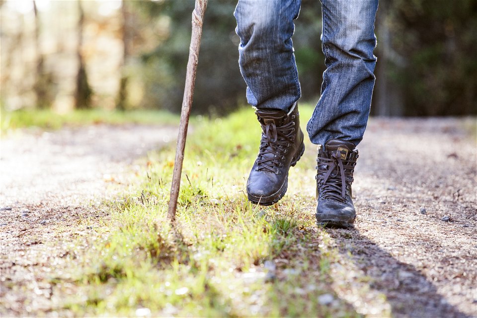

Hiking
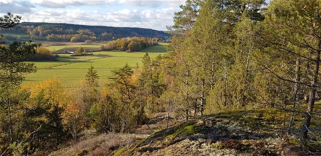
**Törnsfall-Gagern-Marsbäcken is an approximately 8-kilometer connecting route towards Västervik. The route is a bit hilly and rocky in places but offers beautiful scenery, runs along lake shores and passes large burial grounds and more.
From Törnsfall, the trail first goes over the Dunhällarna ridge. Northwest of the high point of the trail you will find several interesting old embankments. After passing the E22, the trail winds through an extensive area of burial cairns, where those that have been dated date from the Late Bronze Age. In total, there are about 20 cairns, some stone circles and standing stones. The hiking trail approaches Lake Gagern and occasionally goes over small hilly rock formations. The first contact with the lake offers a nice view and towards the shore you will later find nice places for rest and swimming. This also applies to Kvarnsjön and not least Gagnaren.
Before the gravel road Målserum-Gäddeglo, you pass old quarries, traces from the end of the 19th century of Västervik's once so important stone industry. At the car road, the marking currently ends but continue to Marsbäcken. From there it is not far to Gertrudsvik (former Norra Sjukhuset), which has regular bus connections with central Västervik.
 Hiking
Marking: Orange rings around tree trunks and on stakes and arrows (according to Swedish standard)
Adress: Stora torget 4, 59333 Västervik
Västerviks turistbyrå
Houd er rekening mee dat sommige teksten automatisch zijn vertaald.
Stel een vraag aan andere Naturkartan gebruikers.
Hösten är högsäsong för naturupplevelser. Naturens färgskiftningar, den krispiga luften och varken för kallt eller…

