
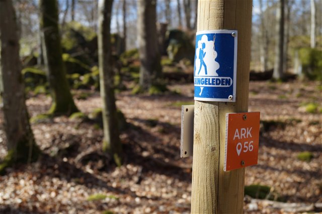
Blekingeleden
Blekingeleden är en 26 mil lång vandringsled från Sölvesborg i väster till Bröms i nordost.…

Naaf
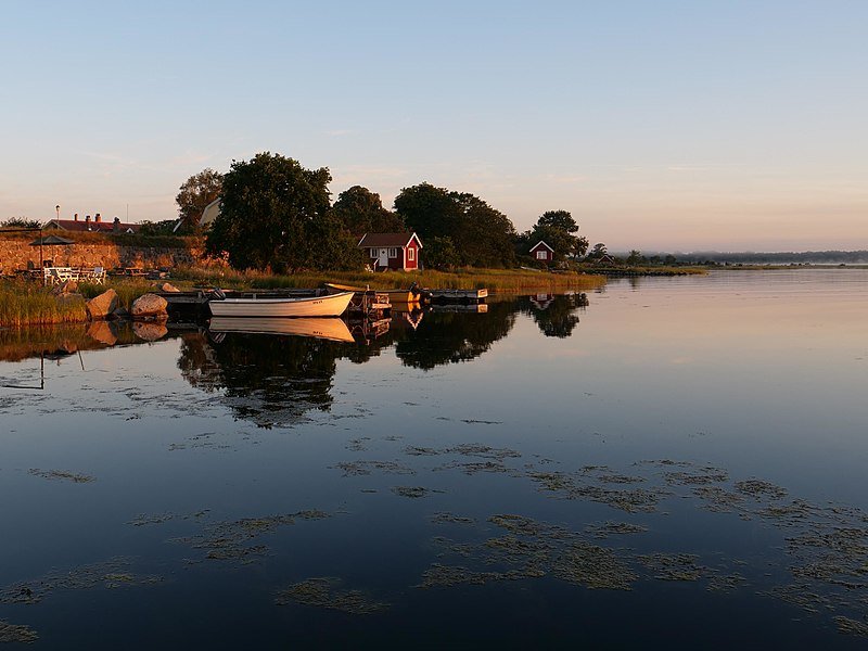
Kristianopel is one of ARK56’s hubs. The hubs are where different trails intersect, making them a good place to start or end your adventure – or to swap mode of transport and continue exploring the Blekinge Archipelago by bike, kayak, boat, ferry or on foot.
The town has been destroyed and changed nationality many times. When Blekinge was Danish, King Christian built the town as part of a Danish defensive line, hence its name. It subsequently switched between being Danish and Swedish and back again. The last time the town became Swedish was in 1677. Parts of the ramparts were demolished at that time, and the stones were used to build Karlskrona.
Walk around the ramparts and wander through the eighteenth-century buildings. Enjoy the sea views. On a clear day, you can see the outline of the southern headland of Öland on the horizon. Cycle up to the peace stone, where several kings negotiated and made peace.
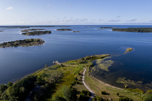
ARK56 and the Blekinge Archipelago spread out in front of you. Round the cape or headland, a unique environment awaits, shaped by nature, animals and people for thousands of years. Come and explore.
Naaf
Blekinge Arkipelag
Kurpromenaden 4
372 36 Ronneby
Team ARK56
![]()
Houd er rekening mee dat sommige teksten automatisch zijn vertaald.
Stel een vraag aan andere Naturkartan gebruikers.
Blekingeleden är en 26 mil lång vandringsled från Sölvesborg i väster till Bröms i nordost.…

Att paddla genom Blekinges skärgård är ett av de bästa sätten att uppleva landskapet på…
Huvudleden i ARK56 segelled tar dig igenom hela Blekinges skärgård från Karlshamn till Kristianopel. Den…
