-

Zdjęcie: Länsstyrelsen Stockholm -

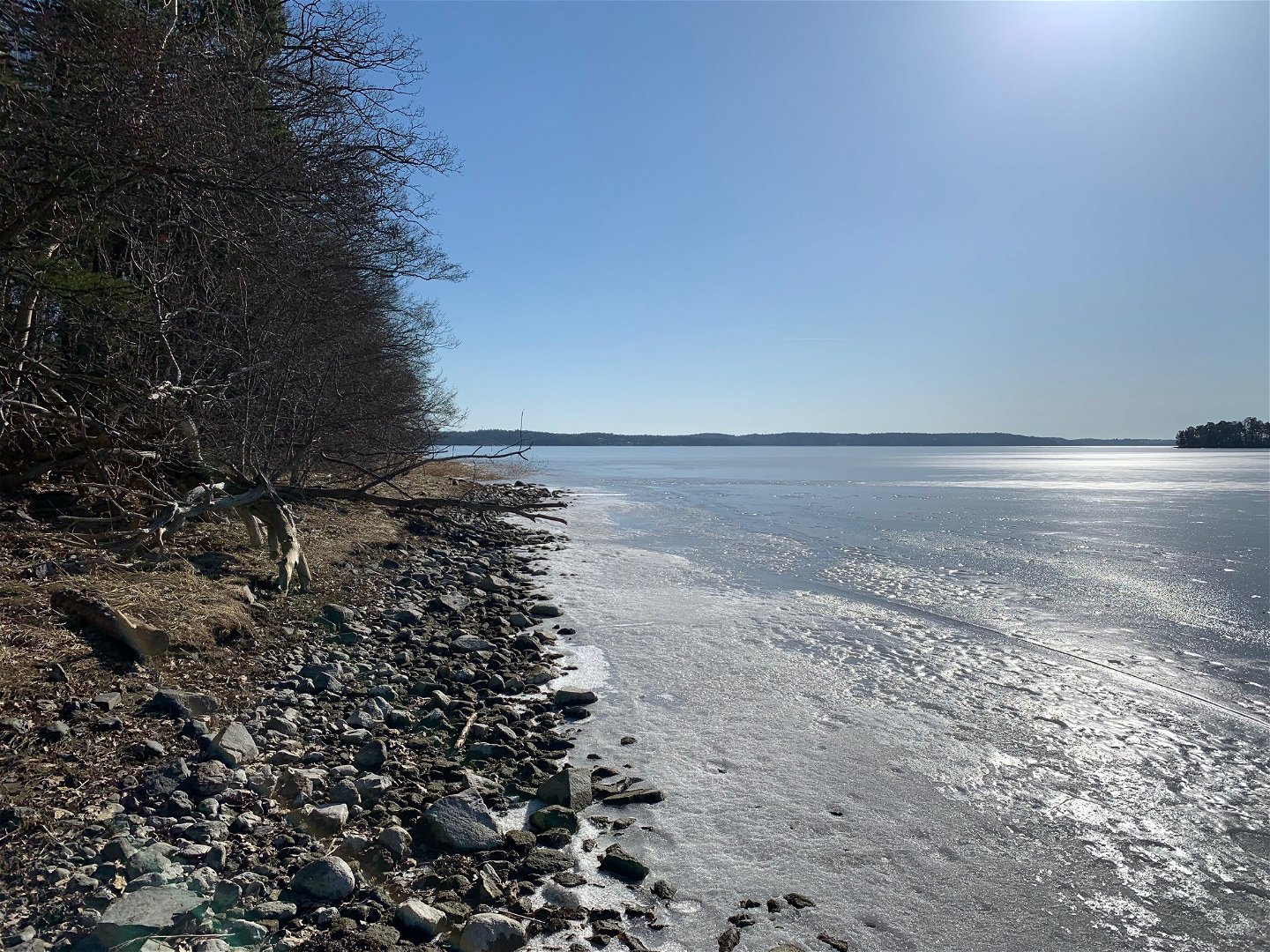
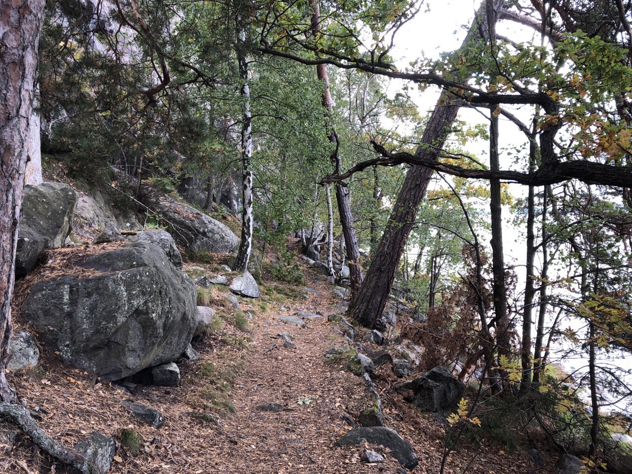
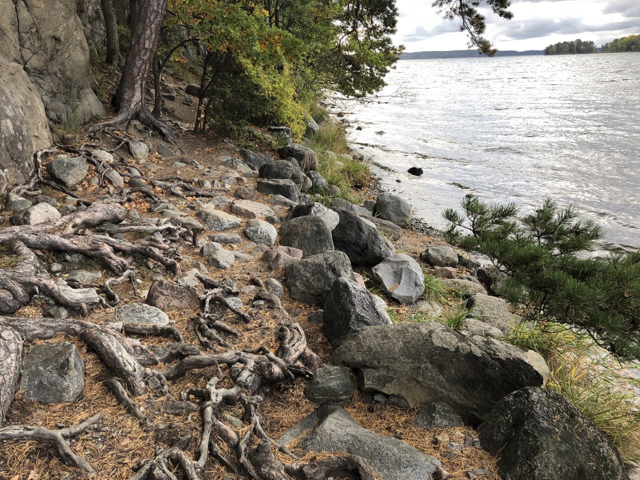
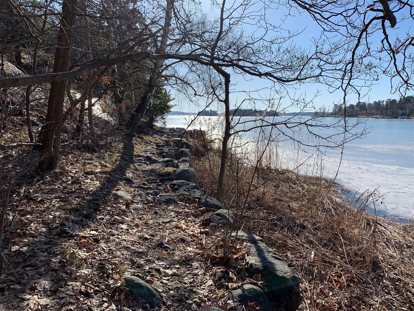
Vandringsstig i Ekobergets naturreservat
Zdjęcie: Länsstyrelsen Stockholm -

Zdjęcie: Länsstyrelsen Stockholm -

Zdjęcie: Länsstyrelsen Stockholm

Vandringsstig, Ekoberget
Wędrówki piesze
- Województwo: Stockholms län
- 6848.97 km od Ciebie
Szczegóły dotyczące szlaku
- Długość 0.7 km
Akcje
Opis
This is a narrow hiking trail, located below the steep cliffs overlooking the water. To get to the beach, keep to the right at the fork in the trail.
Działania i udogodnienia
-
Wędrówki piesze
Fakty
Protected since: 1946
Area: 3.0 hectares
Habitat: coniferous forest, mixed forest
Municipality: Nacka
Landowner: private
Managing authority: Stockholm County Administrative Board
Type of protection: nature reserve
Other: Natura 2000 site Ekoberget (SE110170)
Wskazówki dojazdu
To get to the beach, keep to the right at the fork in the trail.
By public transit: Take a bus from the Slussen bus terminal to the bus stop Kihls gård, then walk about 500 m to the Ekoberget nature reserve. Current timetables and bus lines can be found at sl.se.
By car: There is no designated parking lot for visitors.
Regulamin
In order to protect the Ekoberget nature reserve, please respect the following rule.
Within the reserve, it is forbidden to:
- cut down trees.
Kontakt
Adres e-mail
Länsstyrelsen i Stockholm
Logotyp organizacji
![]()
Należy pamiętać, że niektóre z tych tekstów zostały przetłumaczone automatycznie.
Pytania i Odpowiedzi
Zadaj pytanie innym użytkownikom Naturkartan.
