-
Zdjęcie: Trosa turistcenter -

Zdjęcie: Trosa turistcenter -
Zdjęcie: Trosa turistcenter -
Zdjęcie: Trosa turistcenter -
Zdjęcie: Trosa turistcenter


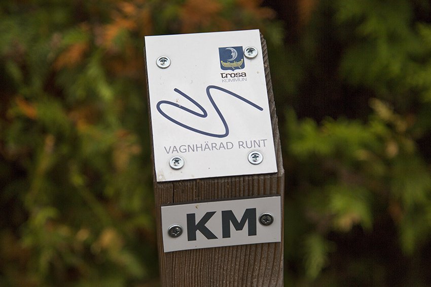
Vagnhärad runt
Spacer
- Województwo: Södermanlands län
- 6829.53 km od Ciebie
Szczegóły dotyczące szlaku
- Długość 5.5 km
- Trudność Niebieski - średni
Akcje
Opis
Vagnhärad offers many beautiful nature experiences that are perfect to explore on foot. The walking route winds through varied landscapes, along both paved and gravel paths through the village, as well as more forest‑near trails. The route is marked with small signs, but the easiest way is to bring a map and head out for a walk. If you prefer having the map on your phone, you can scan the QR code on the next page.
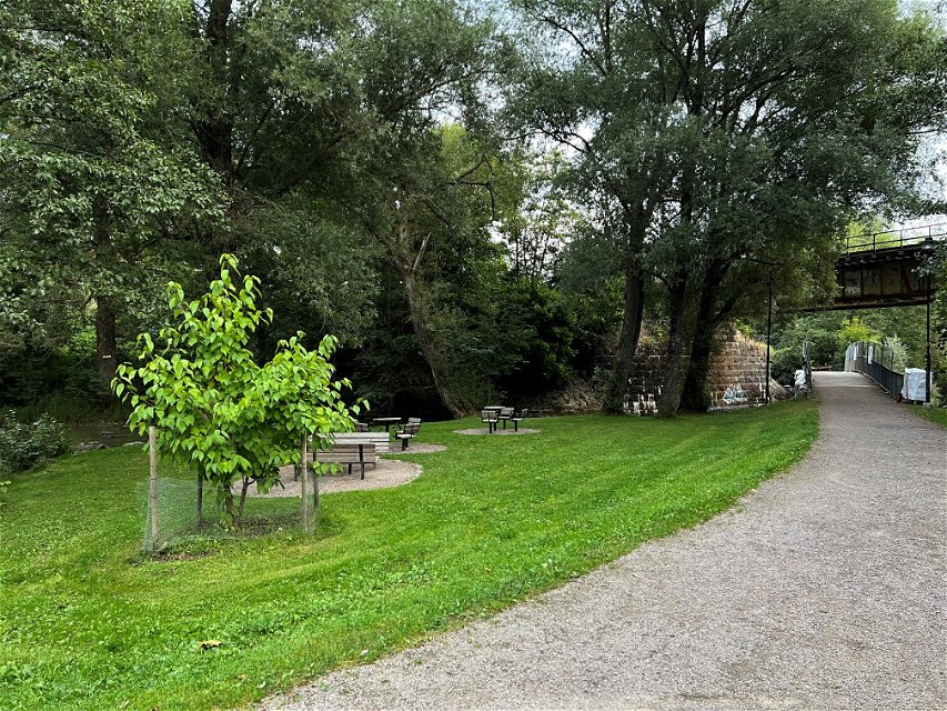
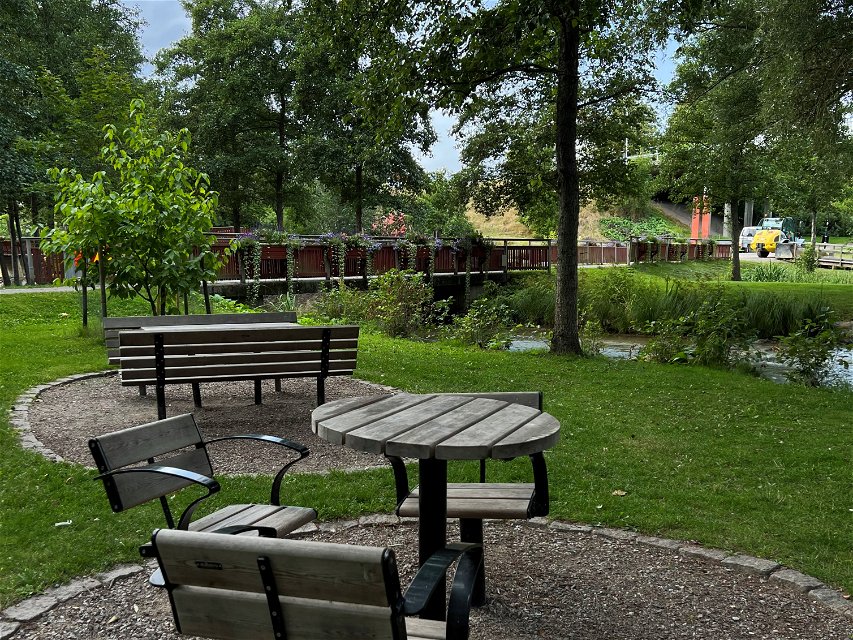
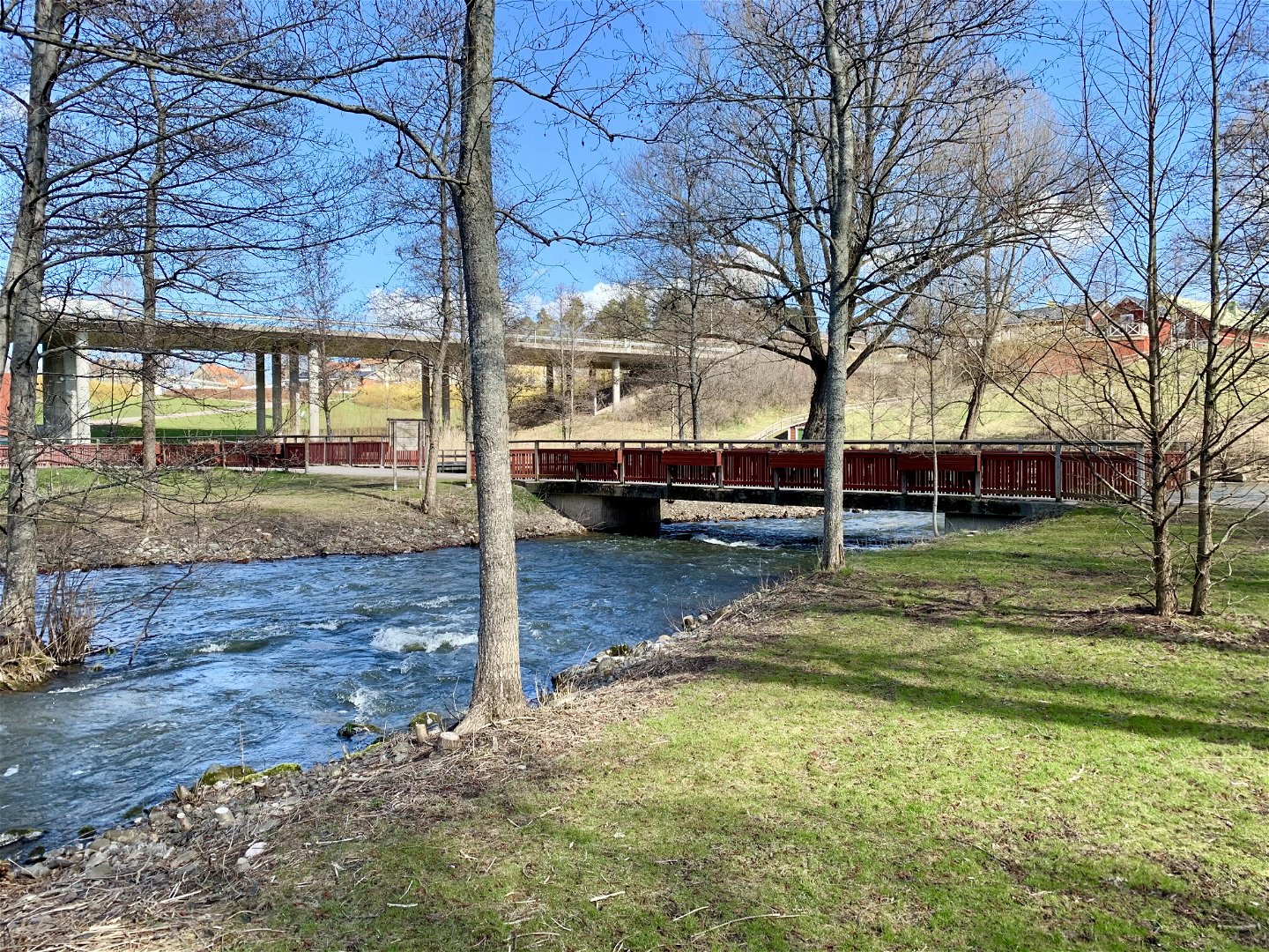
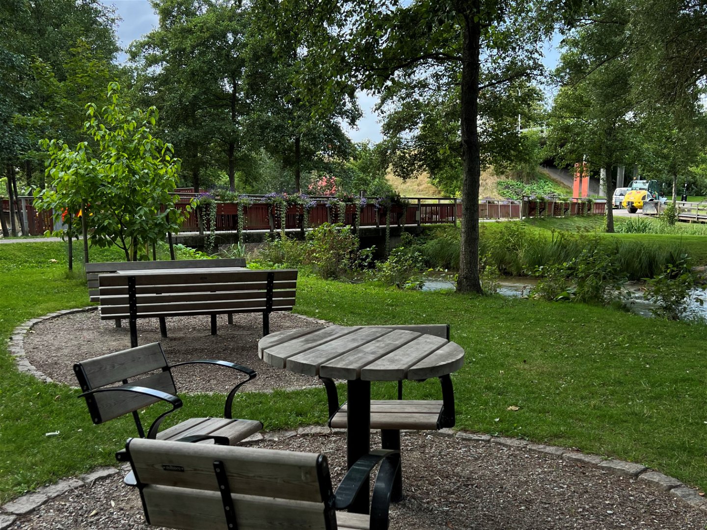
“Vagnhärad runt” gives you great opportunities to discover new favourite spots to return to again and again. Why not stop and enjoy Husby Park, with its rushing water and lush greenery. Here you’ll find lounge chairs and illuminated footbridges. Further upstream toward Mölna, the trees form a canopy over the river, creating an almost rainforest‑like feeling.
Vagnhärad is also the area in Sörmland with the richest concentration of ancient remains, with archaeological sites from many different time periods. From Fagerhult in the west to Lånestaheden in the east stretches an area that includes burial grounds from the Stone, Bronze, and Iron Ages, as well as settlements and ancient fields.
Welcome out into Vagnhärad!
Działania i udogodnienia
-
Spacer
-
 Pętla okrężna
Dostępność
-
 Blisko parkingu
-
 Blisko transportu publicznego
Parking
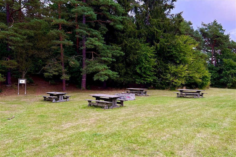
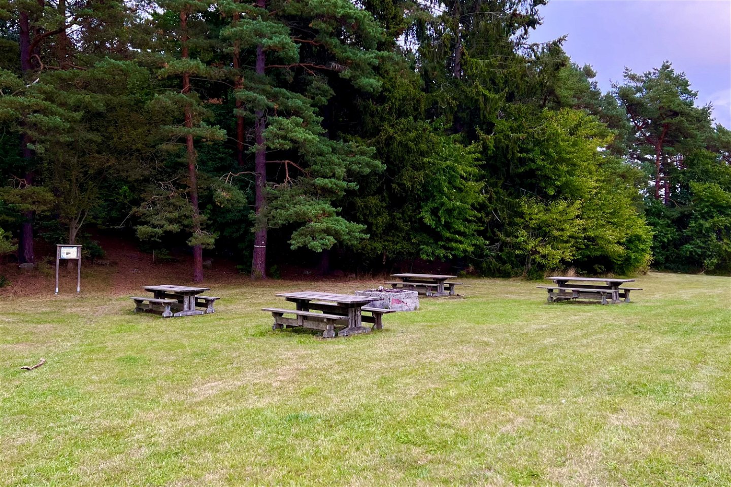
Parking is available at Lånestaheden, Husby park and in central Vagnhärad.
Kontakt
Adres e-mail
Trosa kommuns turistcenter
Logotyp organizacji
![]()
Należy pamiętać, że niektóre z tych tekstów zostały przetłumaczone automatycznie.
Pytania i Odpowiedzi
Zadaj pytanie innym użytkownikom Naturkartan.
