-

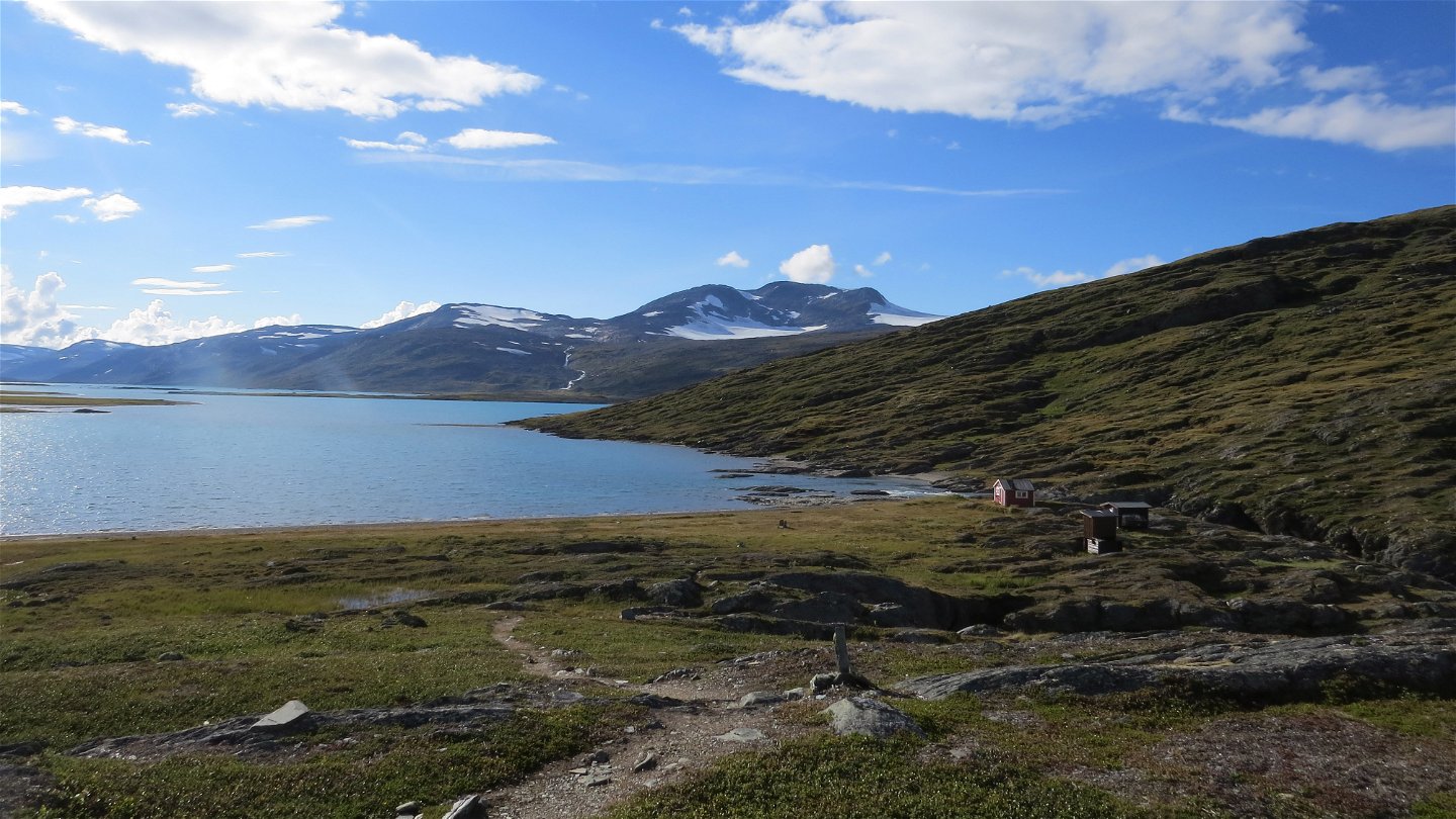
Sårjåsjaurestugan.
Zdjęcie: Henrik Micael Kuhmunen/Laponiatjuottjudus -
Zdjęcie: Henrik Micael Kuhmunen/Laponiatjuottjudus

Stáddájåhkå-norska gränsen, Nordkalottleden
Wędrówki piesze
- Województwo: Norrbottens län
- 6344.87 km od Ciebie
Szczegóły dotyczące szlaku
- Długość 10.5 km
Akcje
Opis
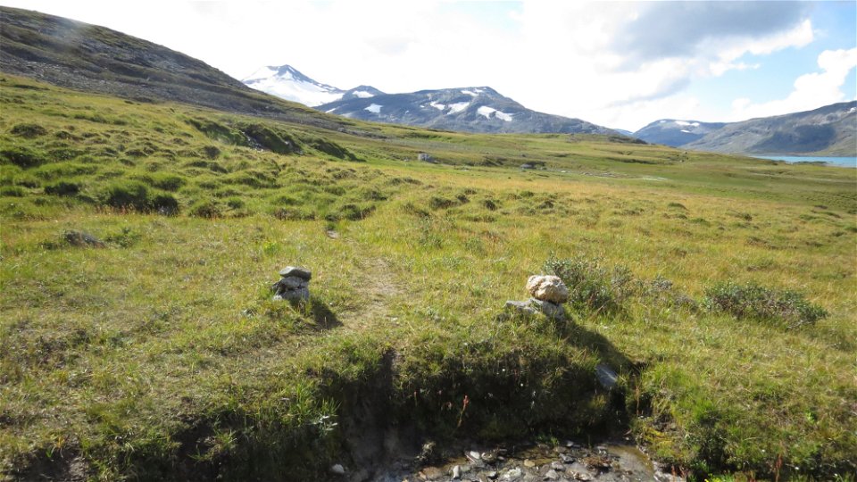
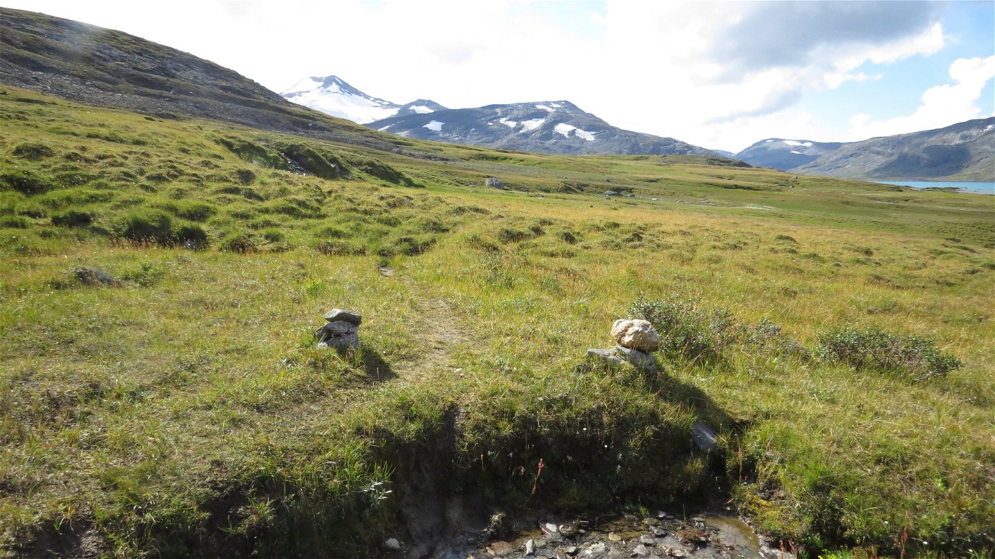
The trail passes through osiers until the long suspension bridge across Stáddájåhkå stream. Just before the bridge, the trail turns off towards Lake Pieskahaure, while the trail to Lake Sårjåsjaure continues across the stream. Here you leave Padjelanta/Badjelánnda National Park. The trail leads up towards Lake Sårjåsjávrre. The trail crosses brushy moor, and eventually leads across a grassland plateau. The view of the lake and surrounding mountain summits is breathtaking. At the low sandy beach lies the little STF cabin Sårjåsjaure. The hike to the Norwegian border continues along the shore and then across grassland south of the lake. There are wet areas without plankways, and in places the trail is difficult to follow even though there are a number of marker cairns.
The trail is maintained by Laponiatjuottjudus.
Duration: 3-4 hours
Działania i udogodnienia
-
Wędrówki piesze
Powierzchnia
Easily-hiked surface across brushy moor and grasslands, with no major changes in altitude.
Kontakt
Adres e-mail
Länsstyrelsen Norrbotten
Logotyp organizacji
![]()
Należy pamiętać, że niektóre z tych tekstów zostały przetłumaczone automatycznie.
Pytania i Odpowiedzi
Zadaj pytanie innym użytkownikom Naturkartan.
