-
Zdjęcie: Henrik Micael Kuhmunen/Laponiatjuottjudus -

Zdjęcie: Henrik Micael Kuhmunen/Laponiatjuottjudus -
Zdjęcie: Henrik Micael Kuhmunen/Laponiatjuottjudus -
Zdjęcie: Henrik Micael Kuhmunen/Laponiatjuottjudus -

Zdjęcie: Henrik Micael Kuhmunen/Laponiatjuottjudus


Gällivare-Porjus, Rallarstigen
Wędrówki piesze
- Województwo: Norrbottens län
- 6489.75 km od Ciebie
Szczegóły dotyczące szlaku
- Długość 44.0 km
Akcje
Opis
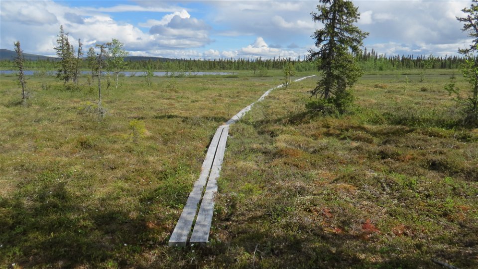
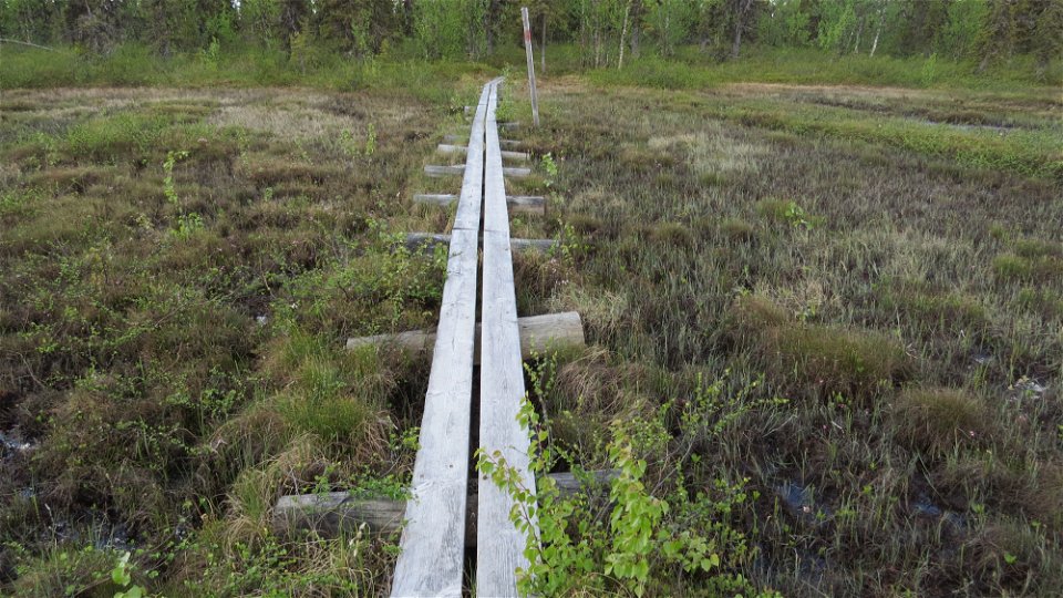
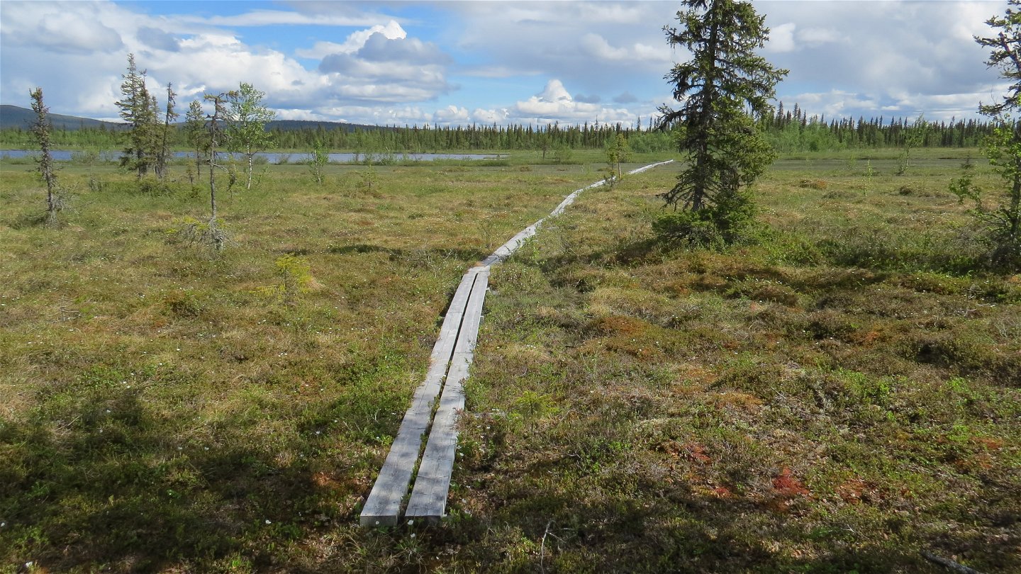
The Navvy Trail is a 44 km heritage trail between Gällivare and Porjus with a special history. The trail passes through the northern part of Muddus/Muttos Nationalpark and also through the Nature Reserve Stubbá.
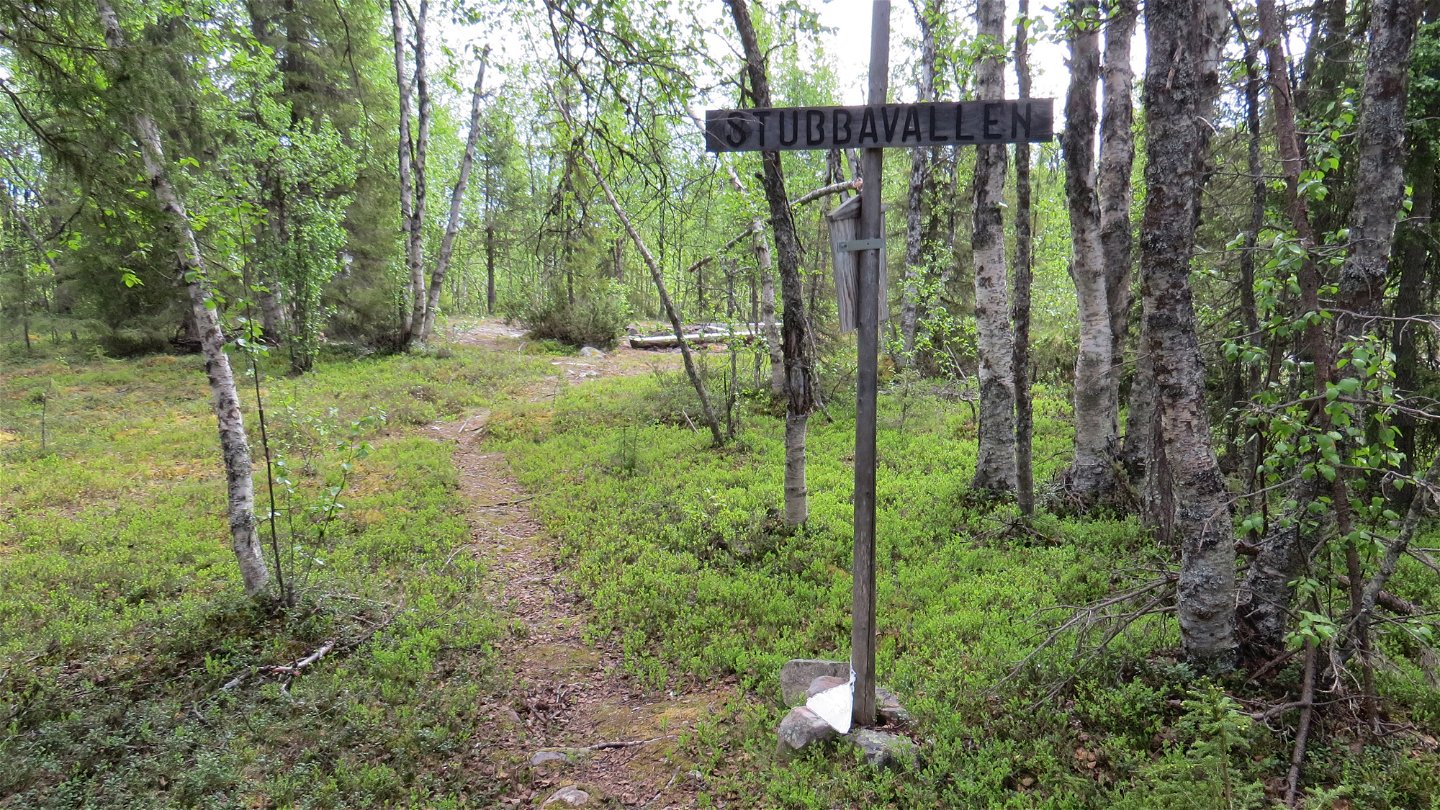
Ever since the 18th century it was an important route, first for the local population, then also for tourists and railway-building navvies. Along the way you can see hearths, signs of ancient bark stripping, blazes on trees, and other signs that people have walked here long before us. Hiking the trail also takes you past the settlers’ homestead Stubbávallen.
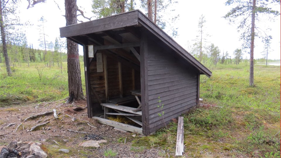
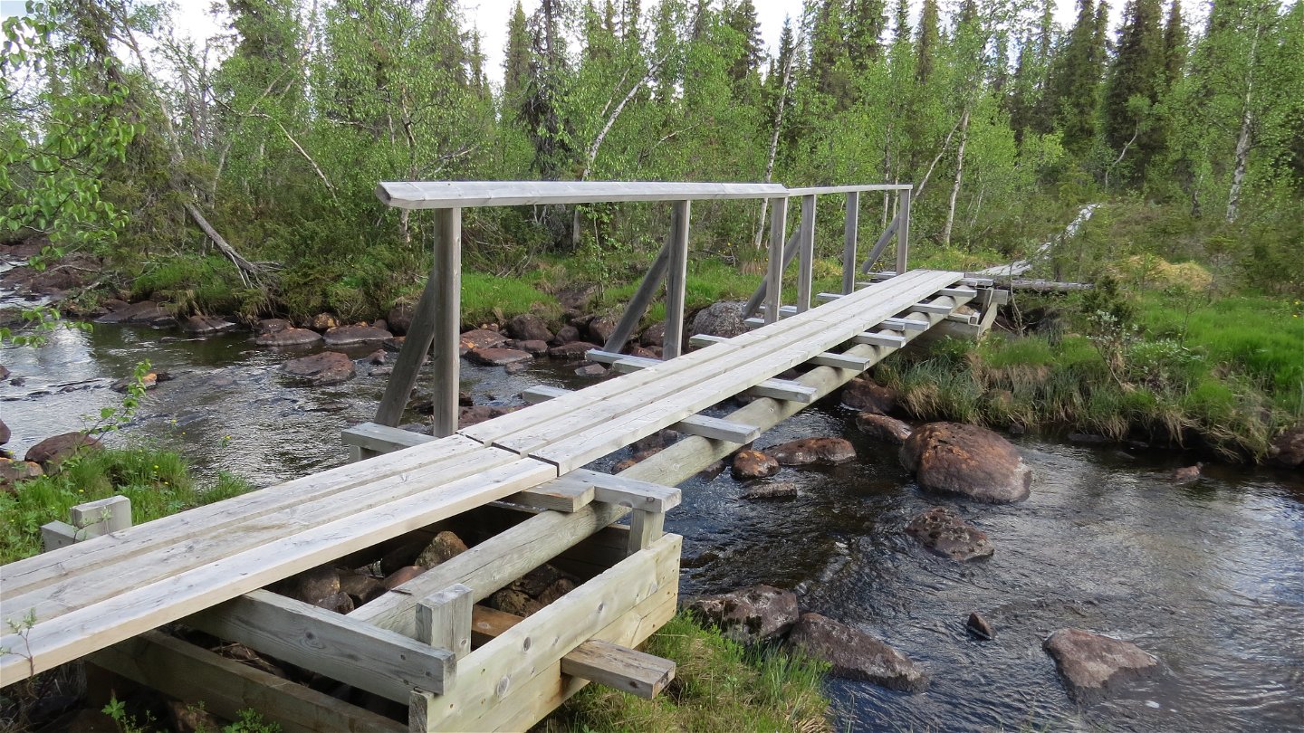
The trail was re-inaugurated in 1994 and renovated with stop-off sites and plankways across wetlands. Dogs are allowed along the entire trail, which is otherwise forbidden in Muddus/Muttos National Park during the snow-free period.
The trail is maintained by Gällivare Municipality.
Działania i udogodnienia
-
Wędrówki piesze
Kontakt
Adres e-mail
Länsstyrelsen Norrbotten
Logotyp organizacji
![]()
Należy pamiętać, że niektóre z tych tekstów zostały przetłumaczone automatycznie.
Pytania i Odpowiedzi
Zadaj pytanie innym użytkownikom Naturkartan.
