


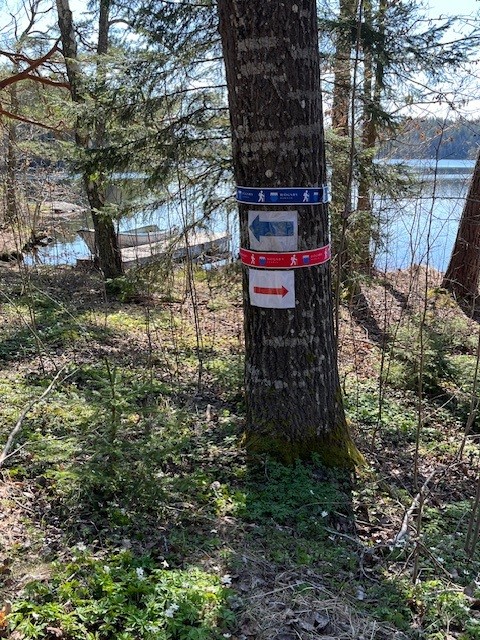

Aboda klint - Röd slinga
Pętla okrężna
- Województwo: Kalmar län och Öland
- 6859.58 km od Ciebie
Szczegóły dotyczące szlaku
- Długość 4.5 km
- Trudność Niebieski - średni
Akcje
Opis
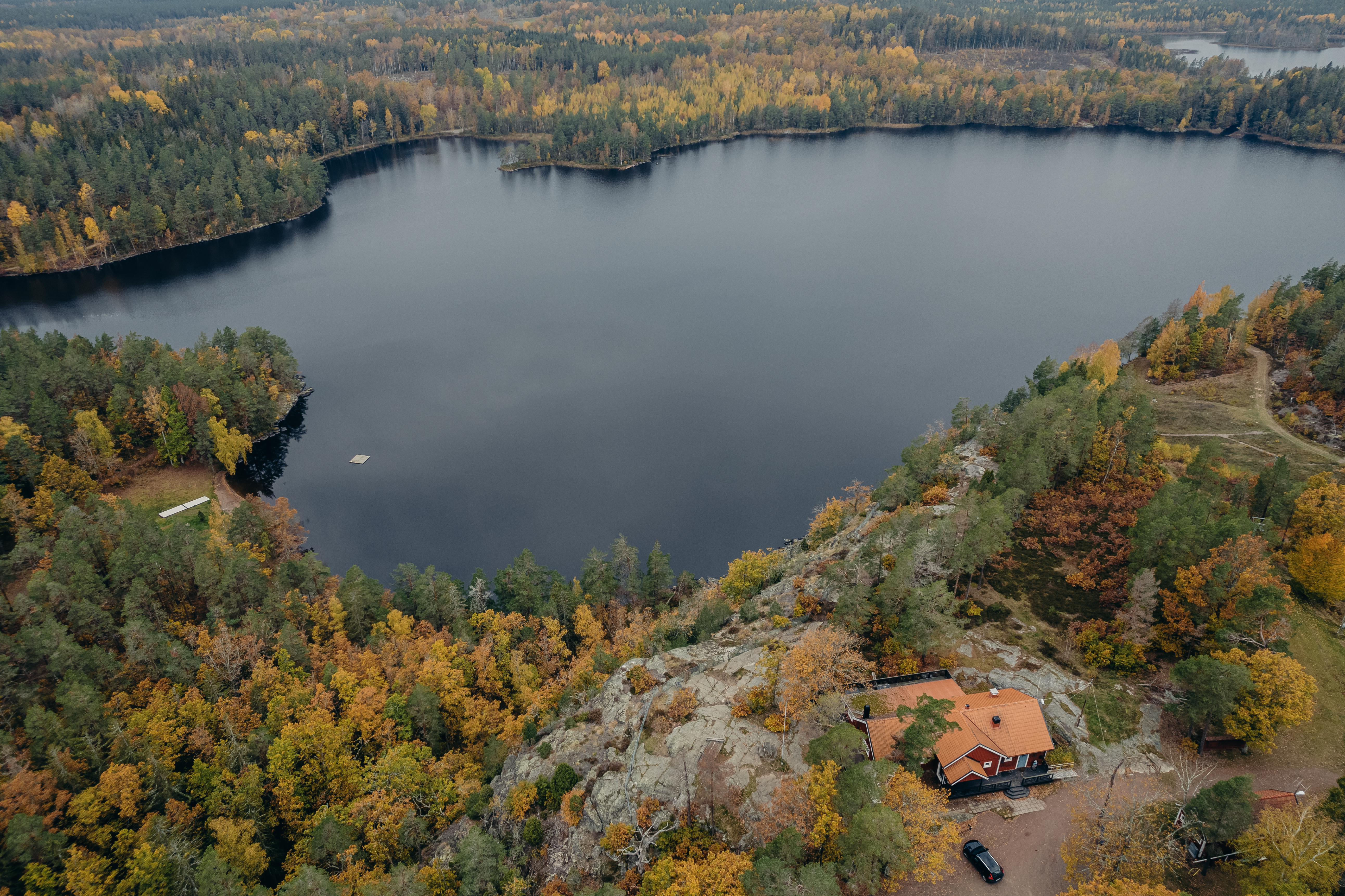
The Red Loop
takes you on a slightly longer hike through the Aboda Nature Reserve and the
area around Aboda Klint. Here you’ll encounter a varied landscape featuring
forests, mountains, lake views, and open fields.
The
highlight is Aboda Klint, a spectacular viewpoint where the cliff rises about
50 meters above Lake Kleven. From the top, you’ll enjoy sweeping views of
forests and lakes. The trail winds through a forest-dominated landscape
featuring mixed coniferous forest, rocky outcrops, and patches of deciduous
forest. In the southern section, you’ll find mountain oak, a species that’s
relatively rare in this part of the country.
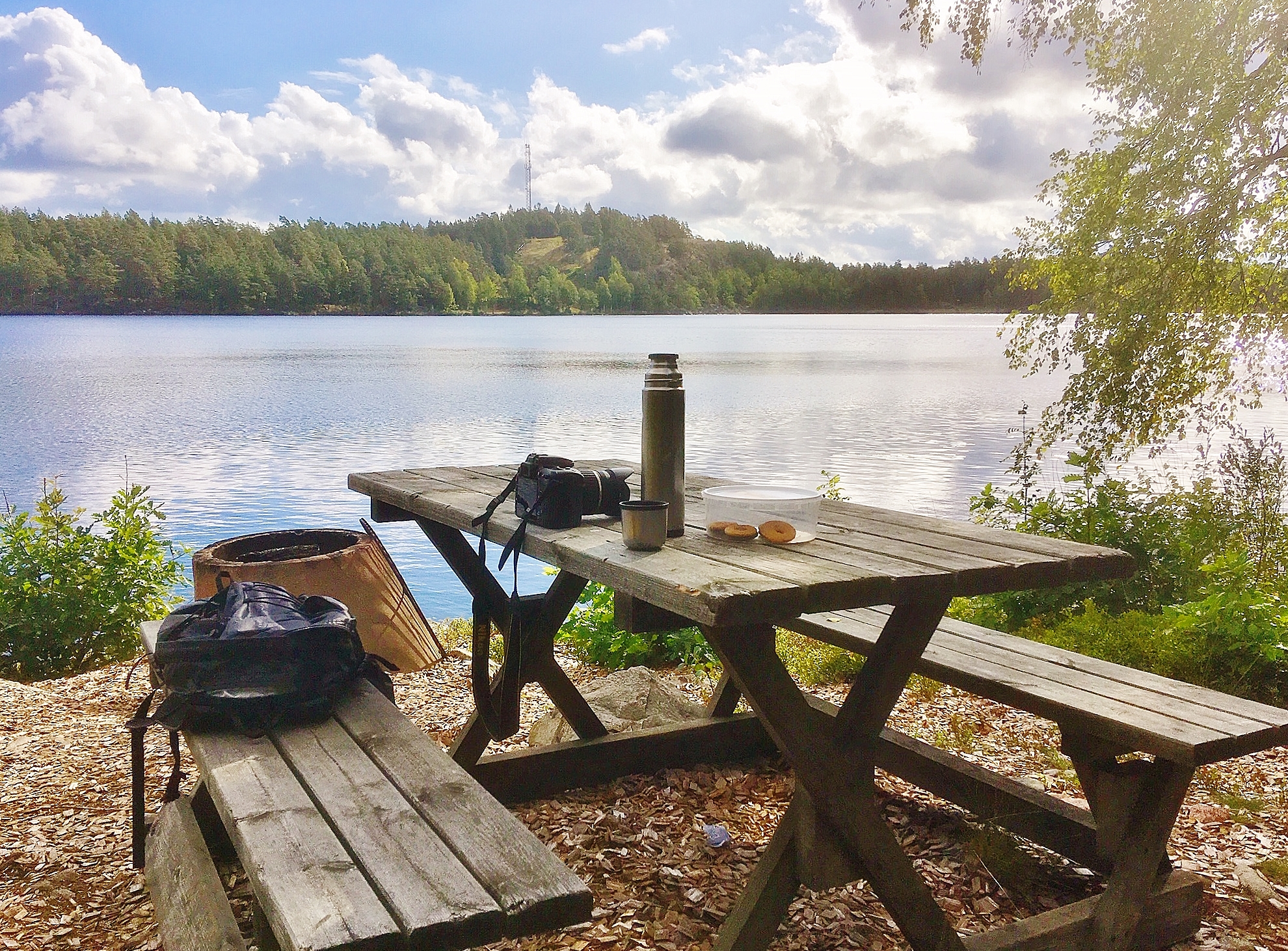
At Aboda
Klint, there are picnic areas and a nice swimming spot, making the area a
pleasant destination for hiking, resting, and swimming.
Działania i udogodnienia
-
 Wędrówki piesze
-
Pętla okrężna
Kontakt
Adres e-mail
Logotyp organizacji
![]()
Pytania i Odpowiedzi
Zadaj pytanie innym użytkownikom Naturkartan.
