


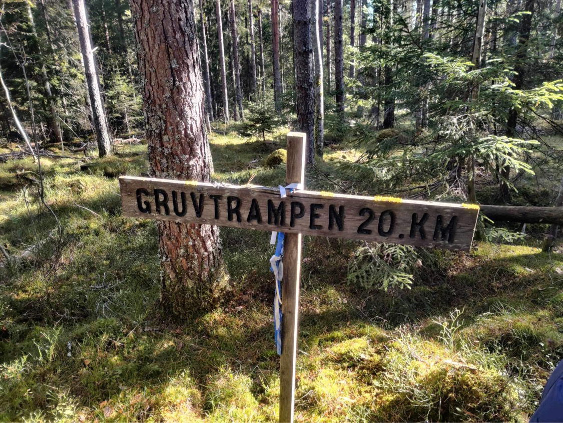

Gruvtrampen - 22 km
Wędrówki piesze
- Województwo: Dalarnas län
- 6628.78 km od Ciebie
Szczegóły dotyczące szlaku
- Długość 22.0 km
- Trudność Czerwony - wymagający
Akcje
Opis
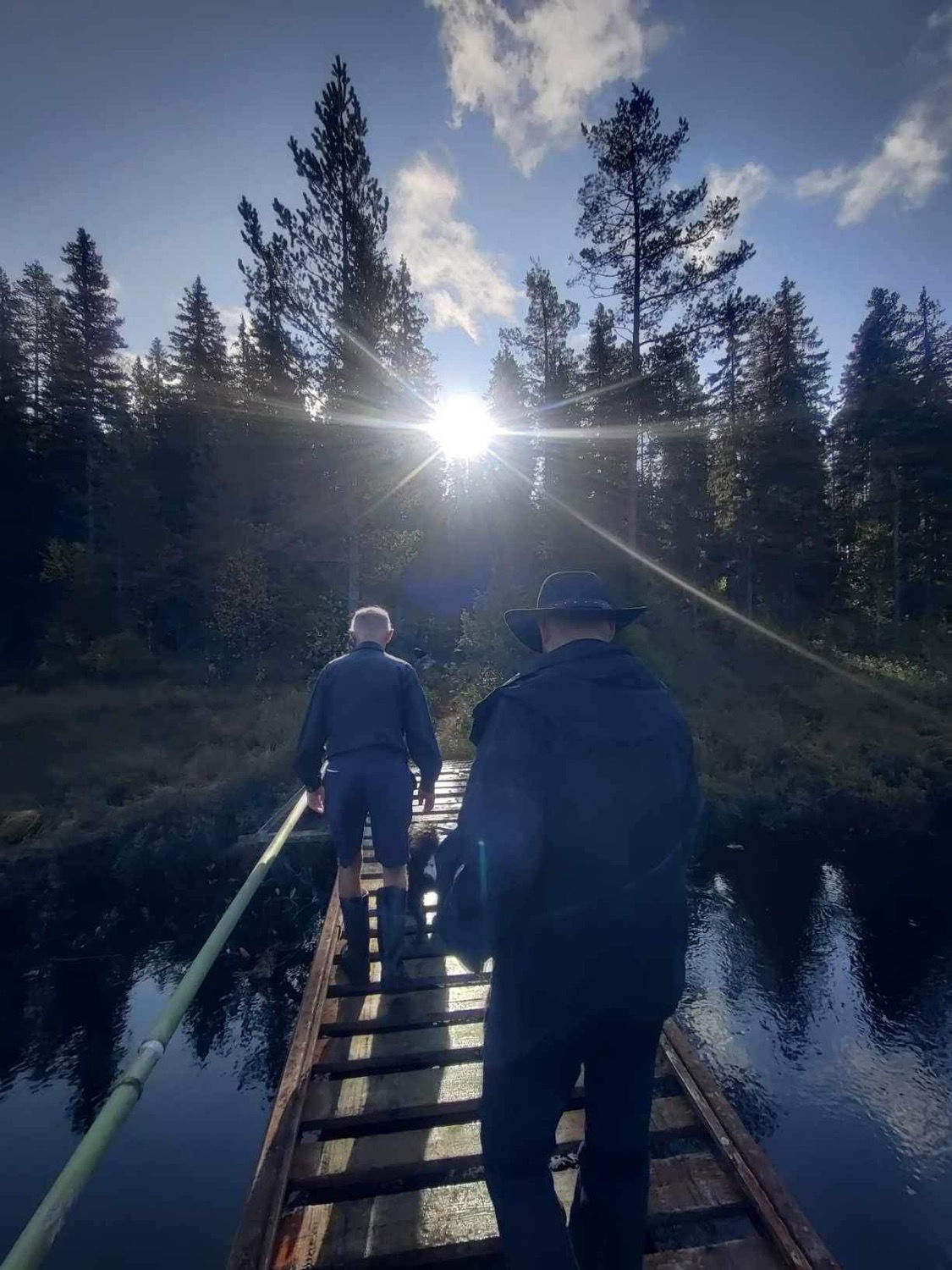
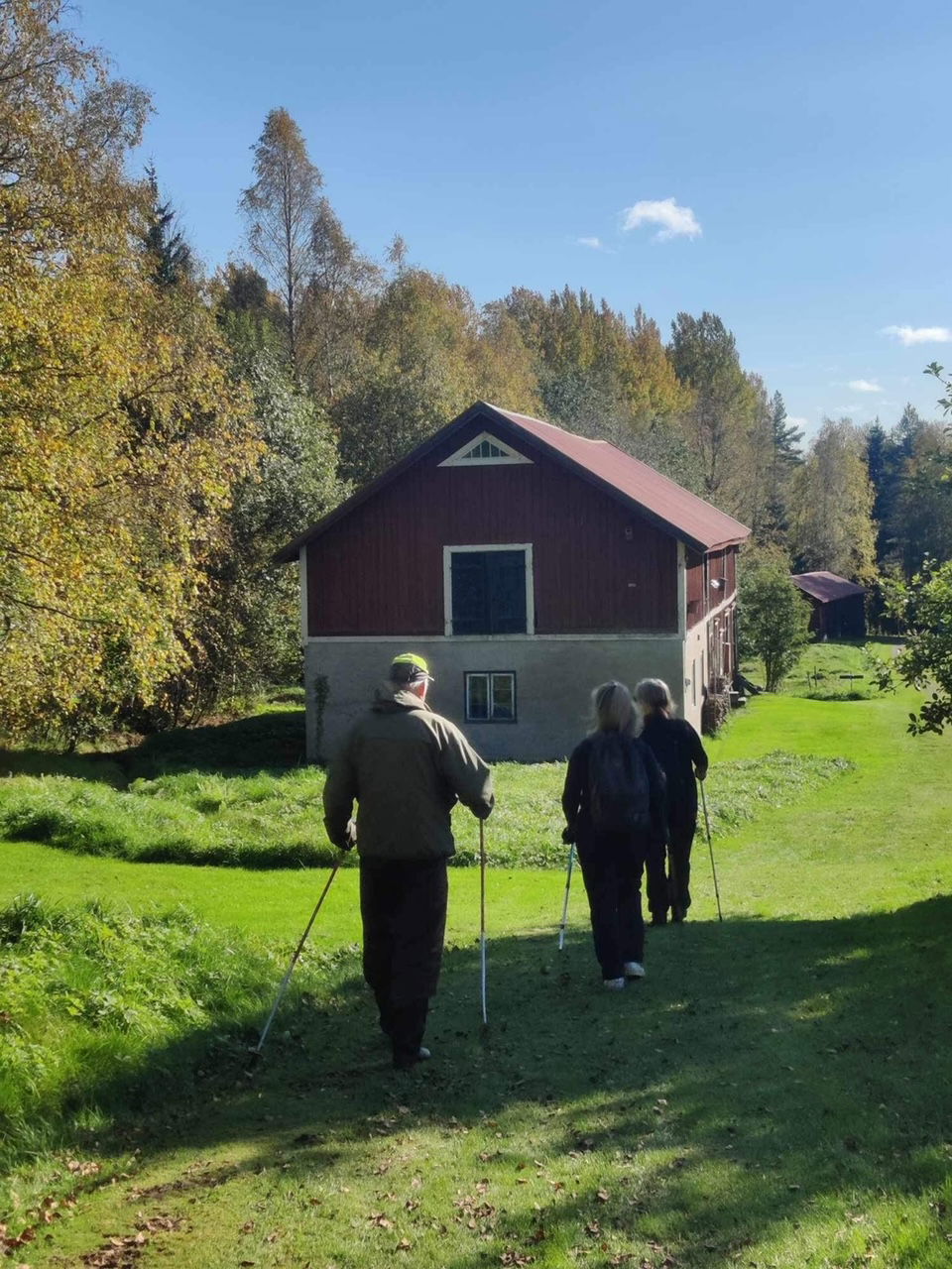
Gruvtrampen is a 22 kilometer hiking trail between Skattlösberg and Cassels in Grängesberg, passing through the southern part of Grangärde socken. The trail follows scenic paths and roads across mountains, hills, and marshland.
Gruvtrampen was established in 1972 and is organized by Grängesbergs hembygdsgille. It depicts the journeys of the Finnmark population, traveling between their homes in Grängesberg and the mine for work. These journeys took place year-round, regardless of weather conditions, and workers carried clothing and provisions for several weeks. Work was conducted six days a week, with accommodation in barracks, while families—often a wife and many children—remained at home.
Each year, on the last Sunday of September, Gruvtrampen is organized with refreshments available along the route.
By following Naturkartan and trail markings, the route can be hiked year-round.
Działania i udogodnienia
-
Wędrówki piesze
Fakty
- E-mail: info@grangesgille.se
- Contact person: Grängesbergs hembygdsgille
- Phone: 0706289996
Wskazówki dojazdu
Parking in Skattlösberg.
Pliki
Należy pamiętać, że niektóre z tych tekstów zostały przetłumaczone automatycznie.
Pytania i Odpowiedzi
Zadaj pytanie innym użytkownikom Naturkartan.
