


Vandring längs ARK56 i Blekinge - upptäck enastående naturskatter och dig själv
Oavsett om du är hardcore-hiker och vill vandra i en vecka, eller om du vill…


Wędrówki piesze
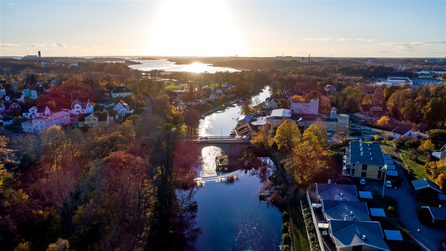
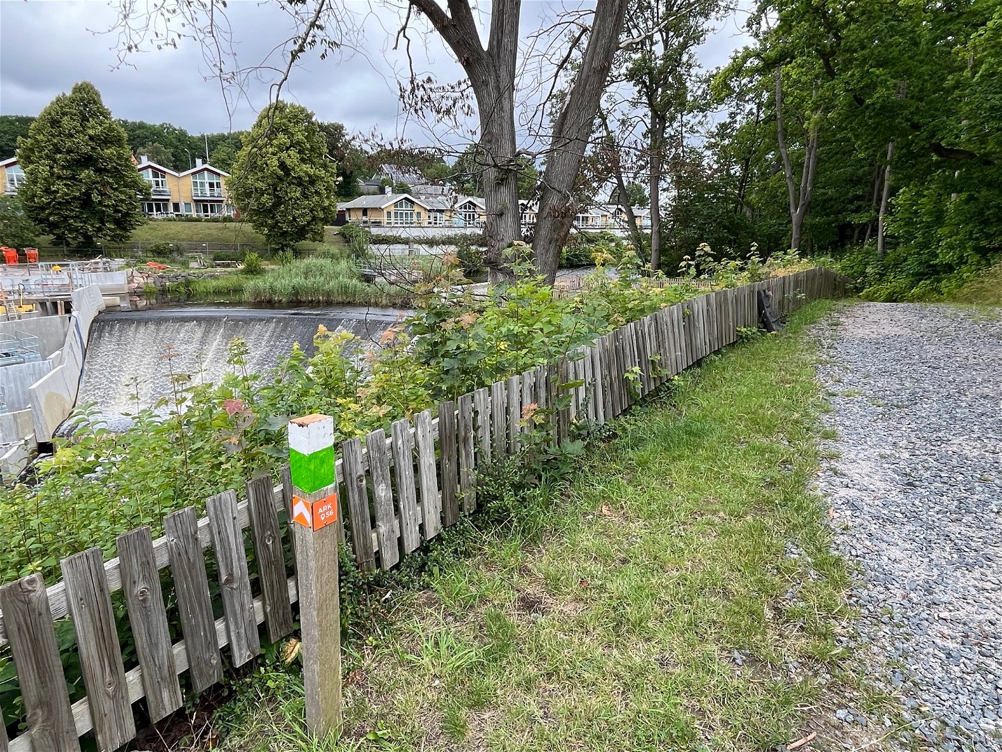
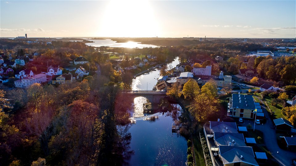
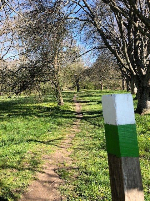
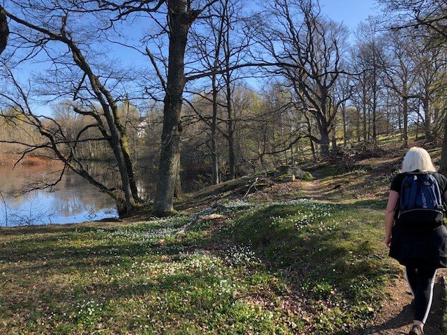
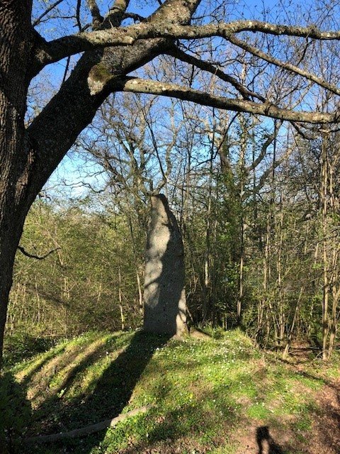
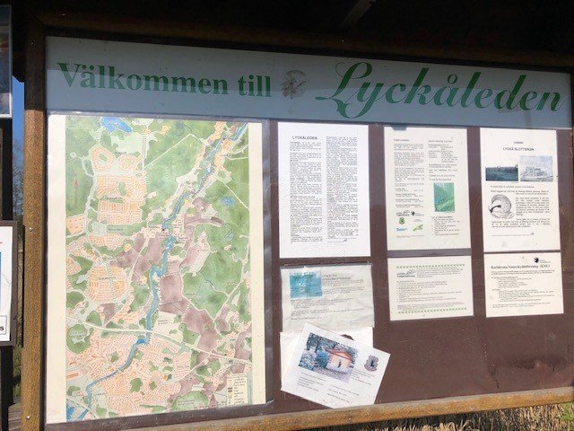
Hiking along the beautiful Lyckebyån, which meanders through lush nature. The Lyckåleden is about 6 km long and runs between Lyckåvallen, the sports ground in Lyckeby, in the south to Lyckåborg in the north. The trail goes through exciting and rich nature and passes several historical places with information signs. Take the same way back- if you don't want to go to the other side of the river, but then you have to follow normal smaller countryroad and cycle path. There is even bus stops at Augerum kyrka and Lyckeåborg at the end of the trail.
Responsible for the trail is: Lyckeby Gille, www.lyckebygille.com
Wędrówki piesze
 Szlak kulturowy
Blekinge Arkipelag
Kurpromenaden 4
372 36 Ronneby
Team ARK56
![]()
Należy pamiętać, że niektóre z tych tekstów zostały przetłumaczone automatycznie.
Zadaj pytanie innym użytkownikom Naturkartan.
Oavsett om du är hardcore-hiker och vill vandra i en vecka, eller om du vill…
