

Vandring längs ARK56 i Blekinge - upptäck enastående naturskatter och dig själv
Oavsett om du är hardcore-hiker och vill vandra i en vecka, eller om du vill…


Fotturer
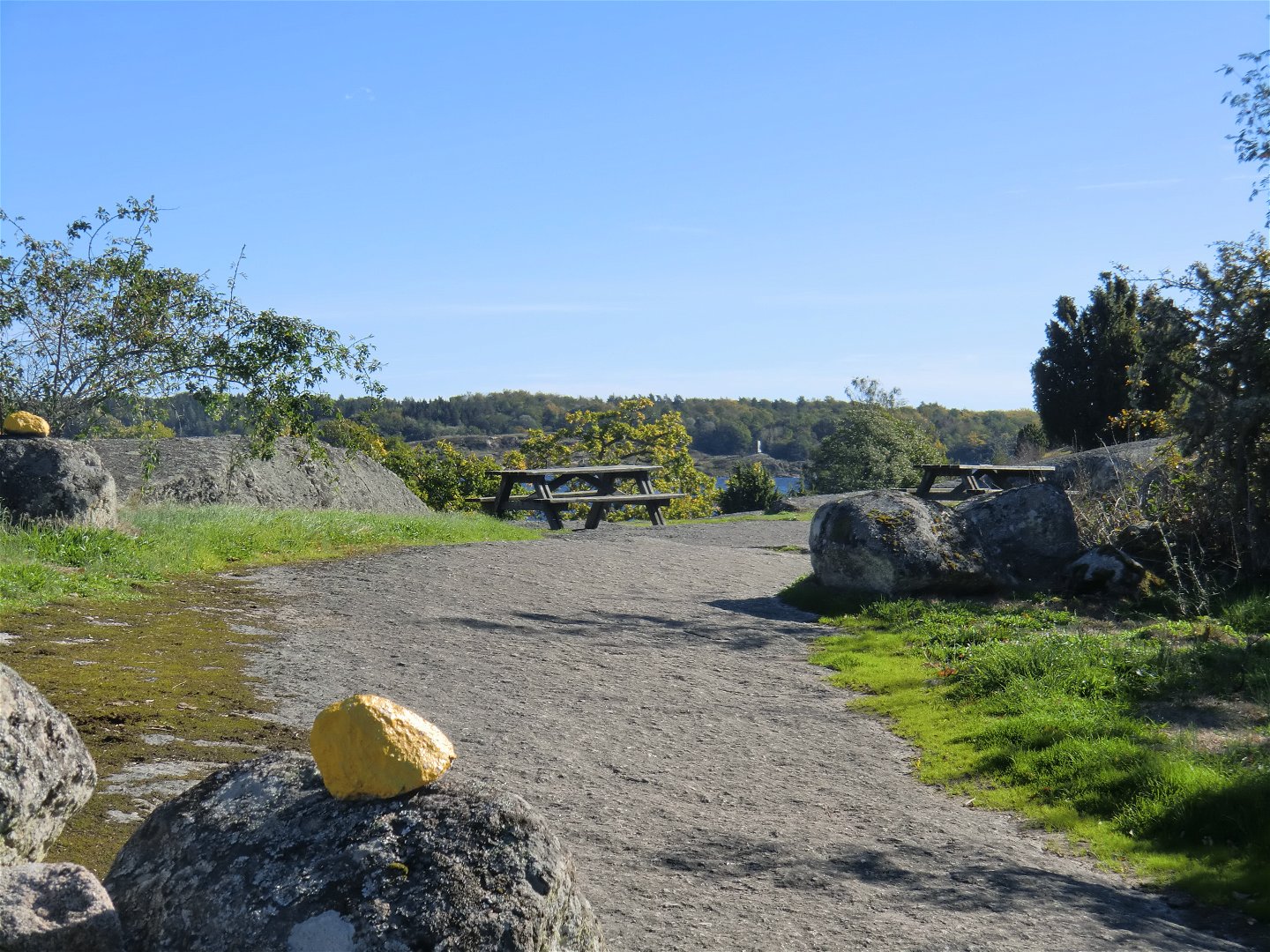
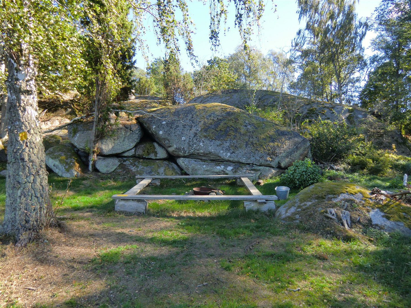
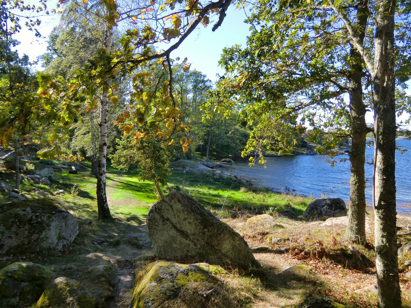
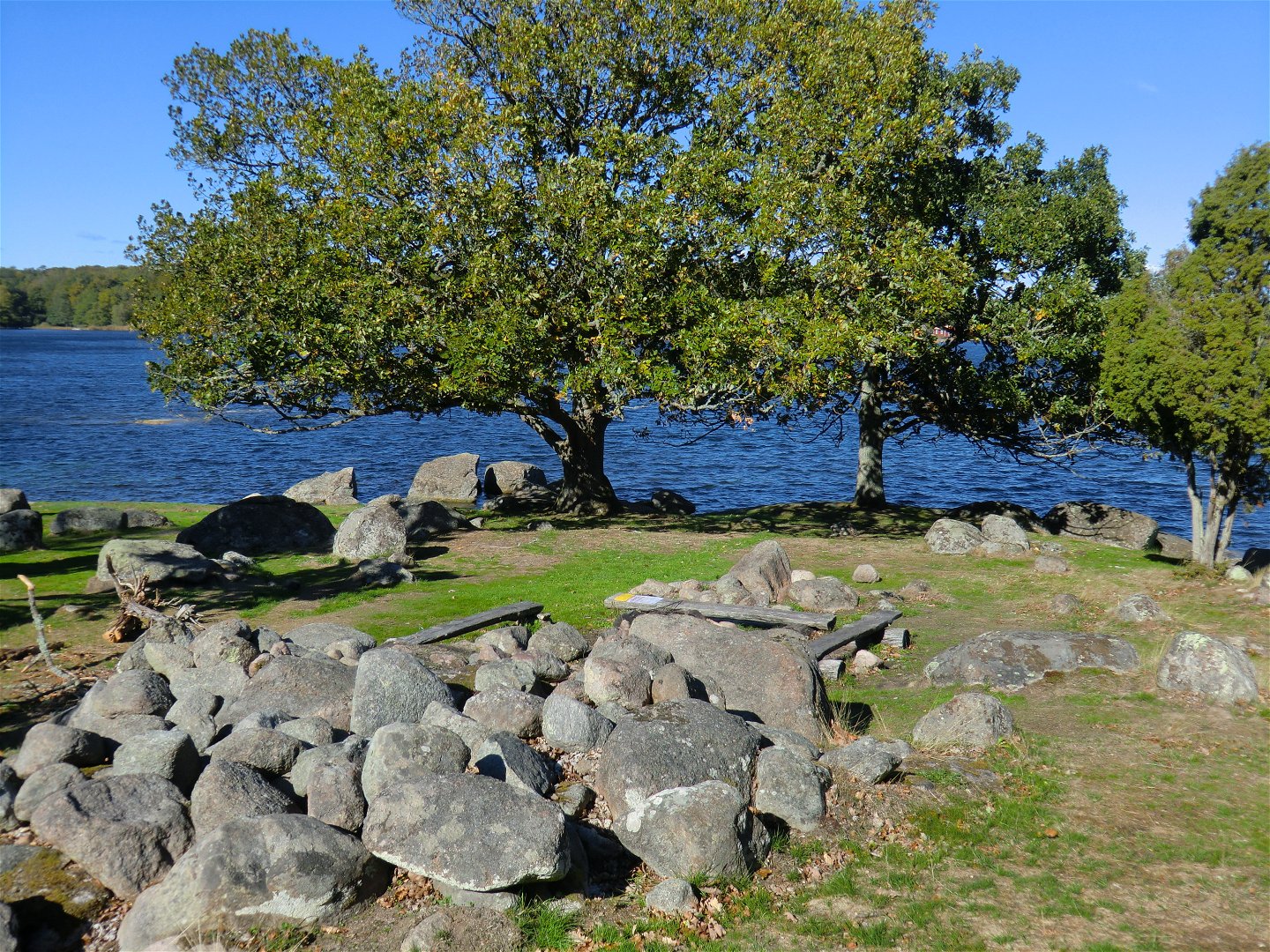
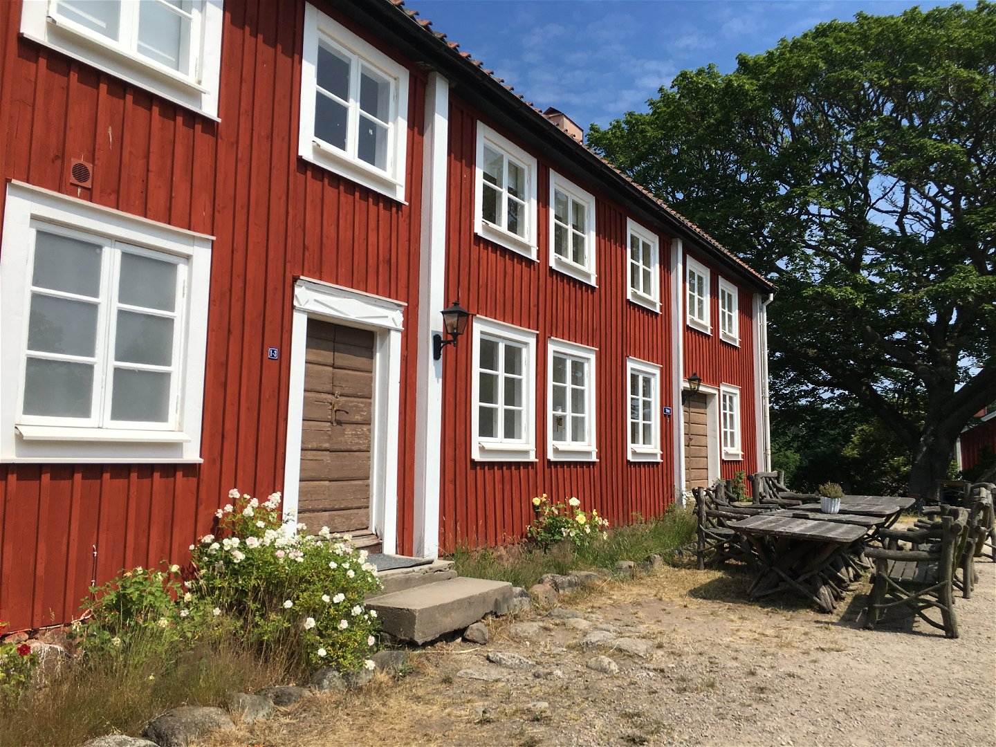
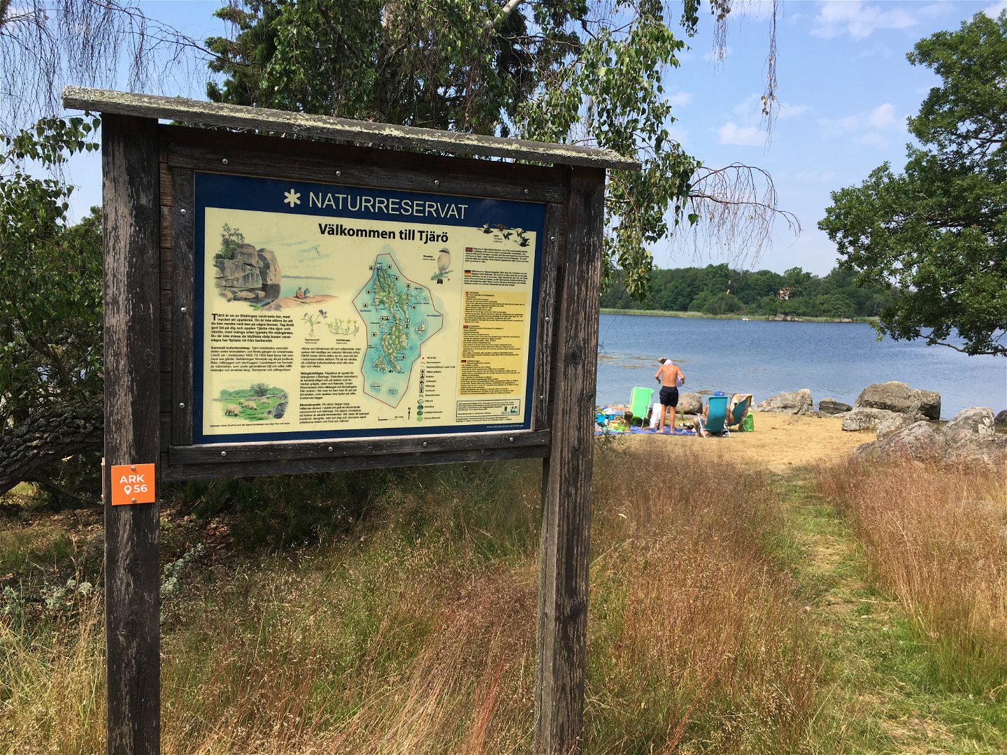
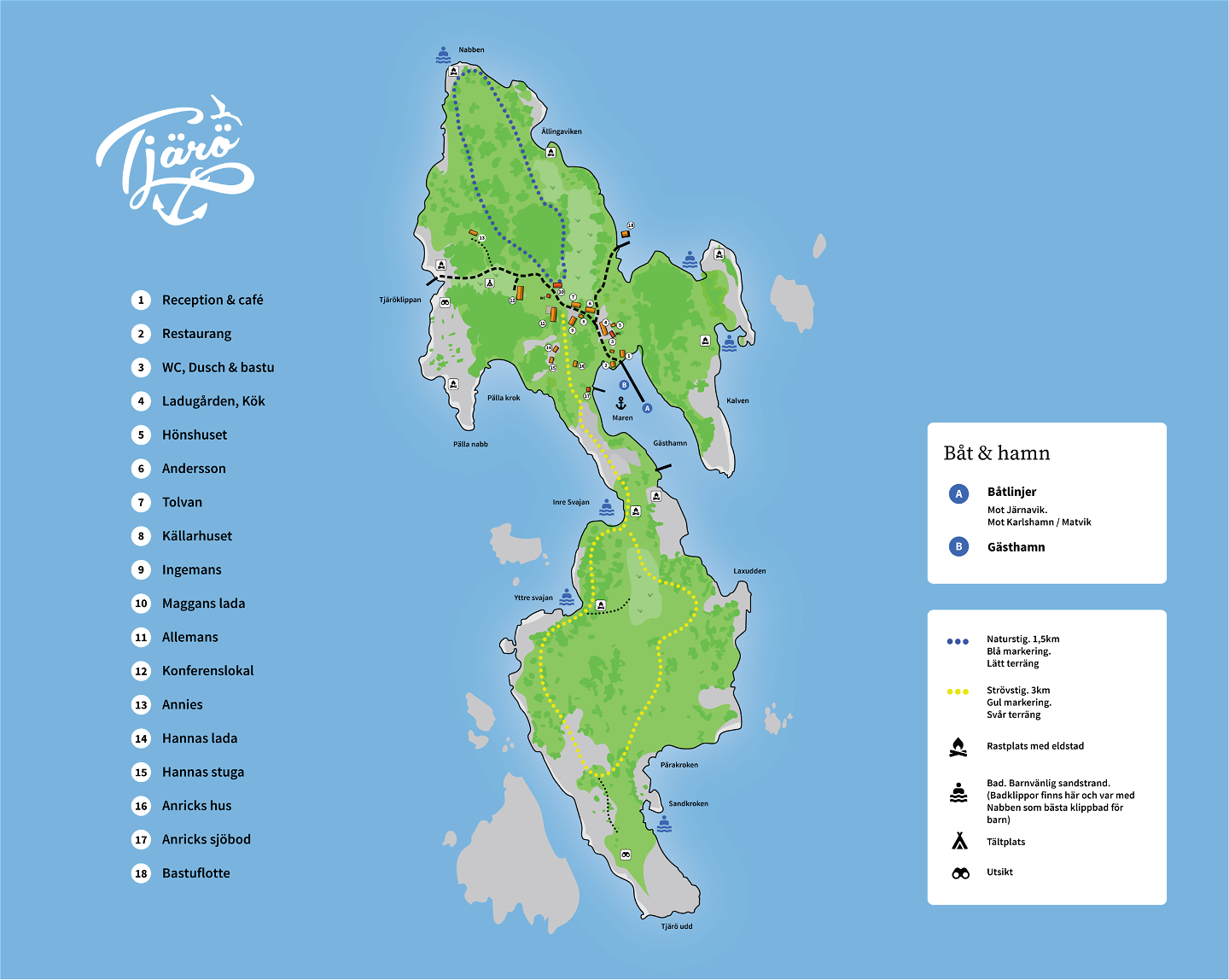
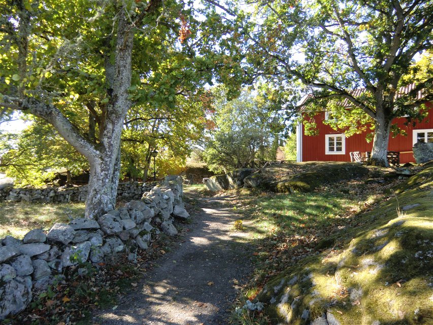
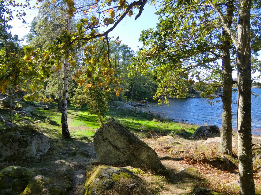
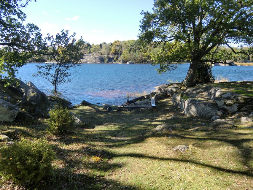
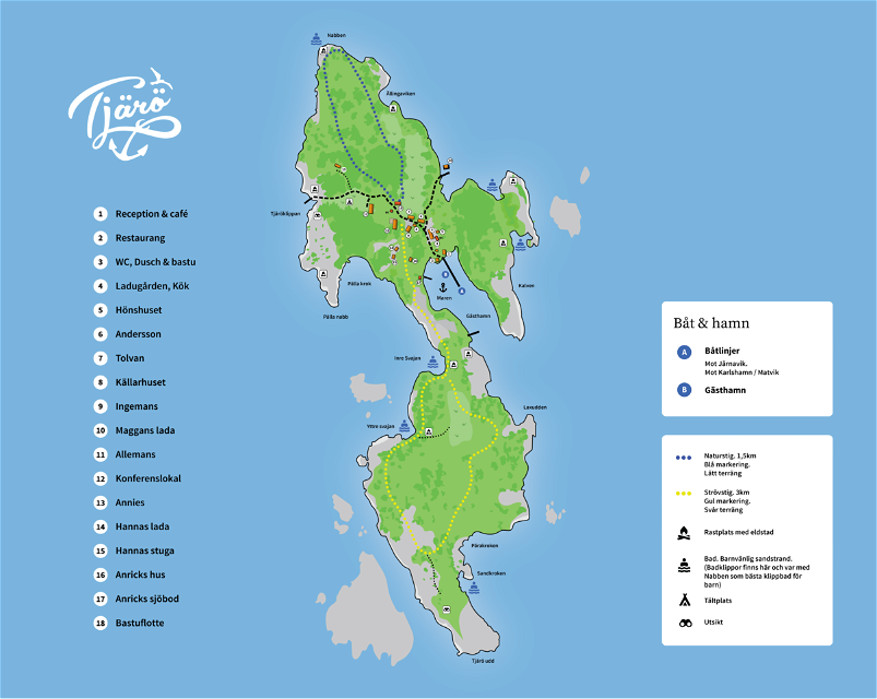
Tjärö is a nature reserve in a beautiful landscape. There is a restaurant and café, and accommodation too if you want to stay the night.
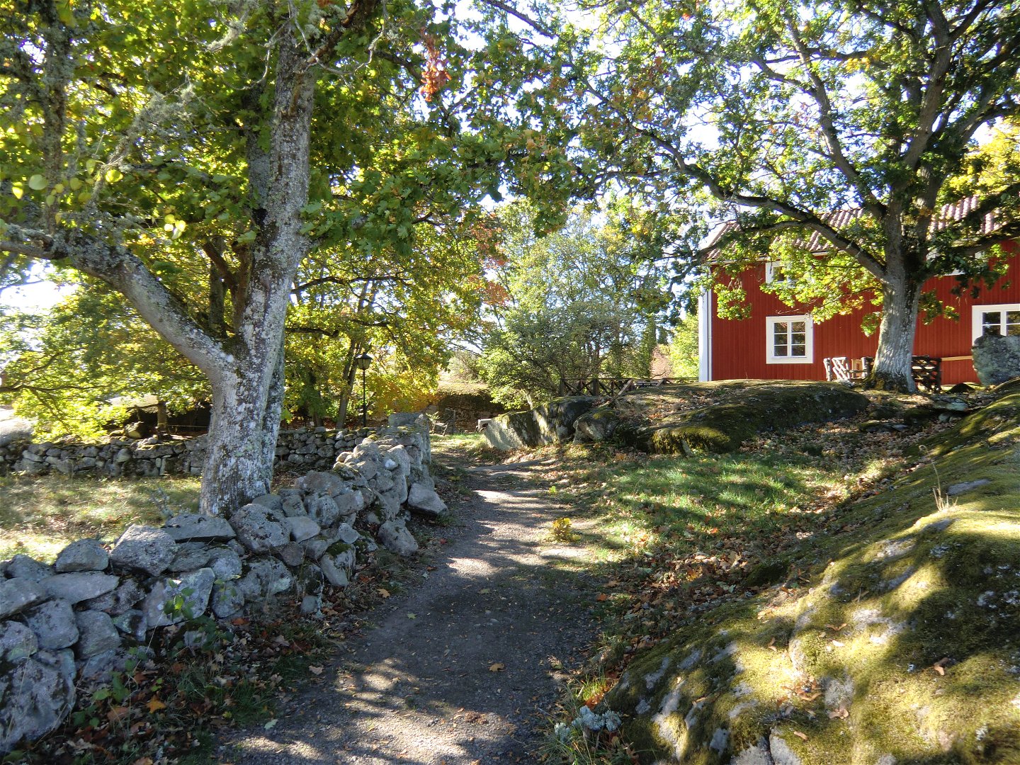
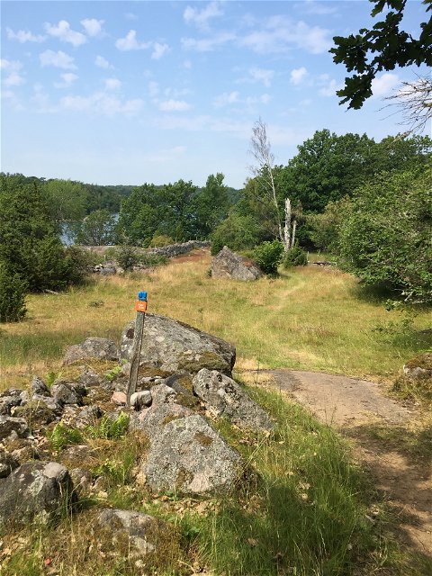
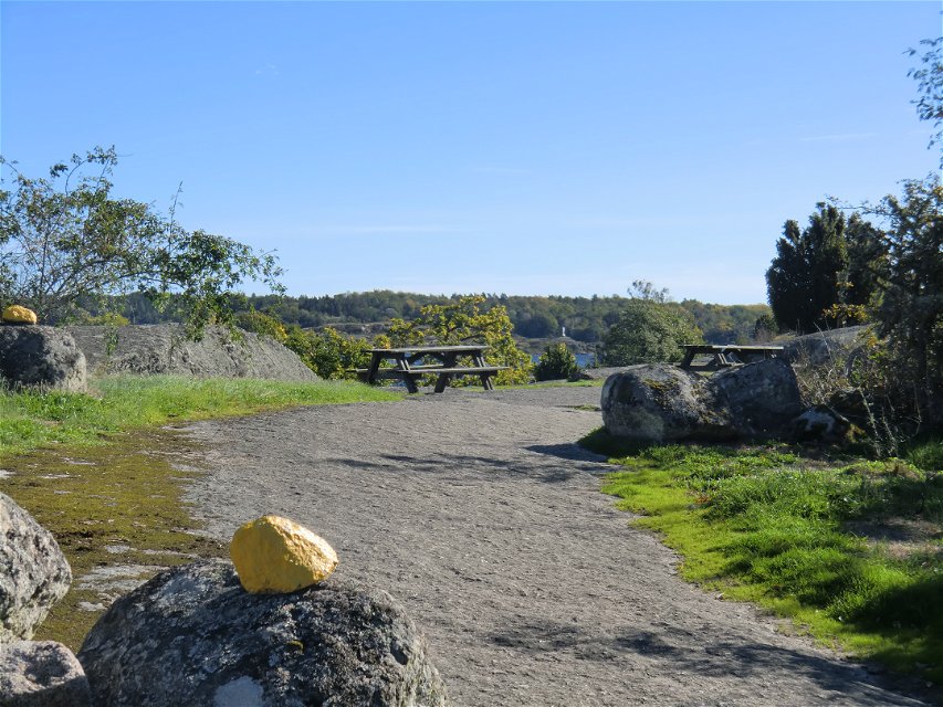
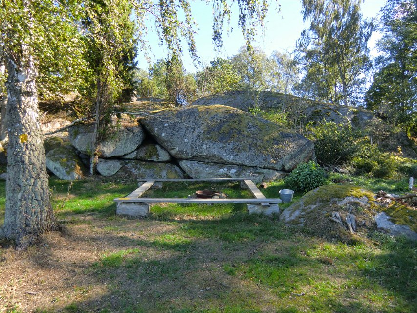
The walk runs through woodland along the rocky shoreline. There are plenty of places to stop or light a barbecue along the trails. Toilets and waste collection sites are near the café.
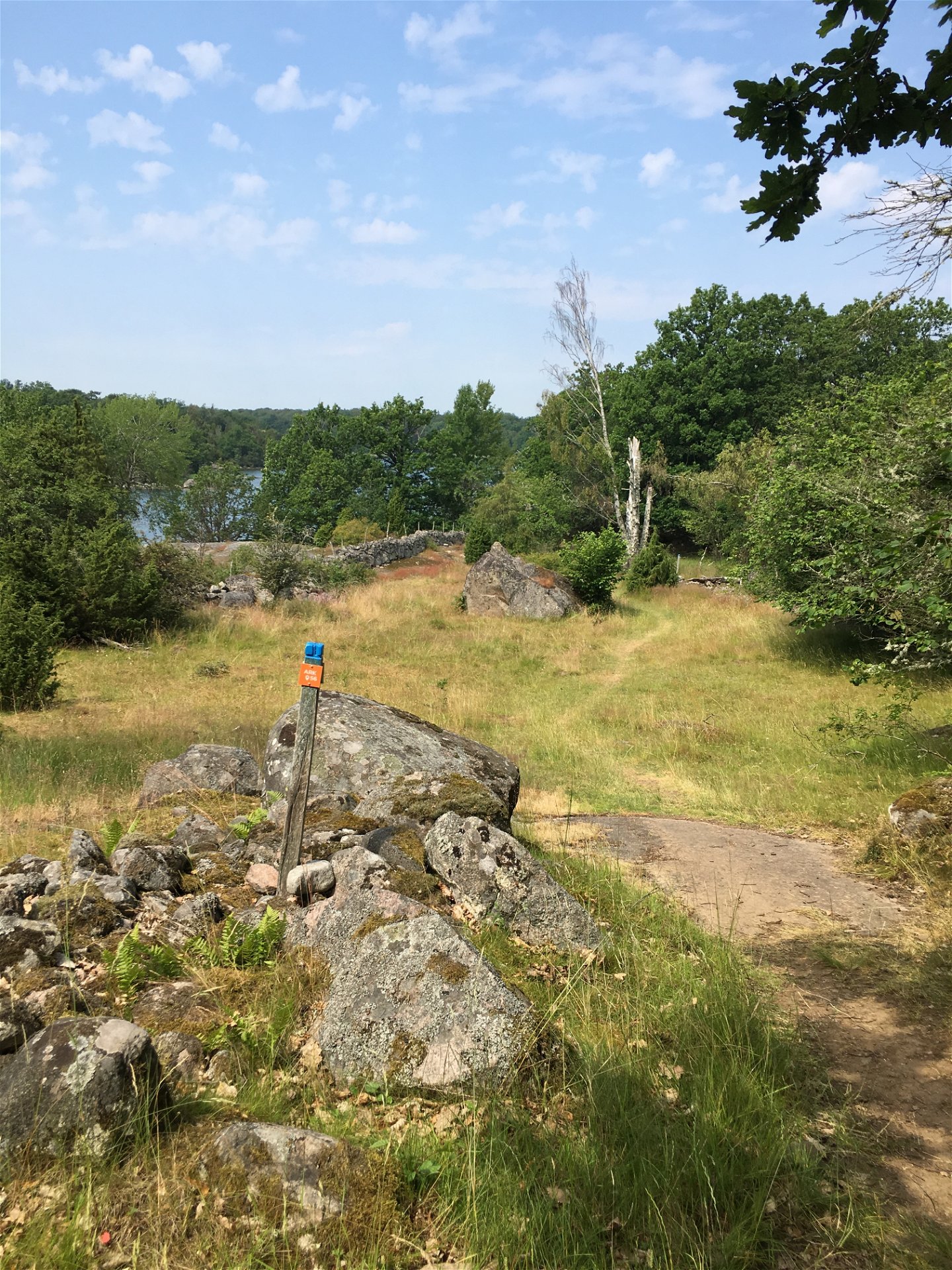
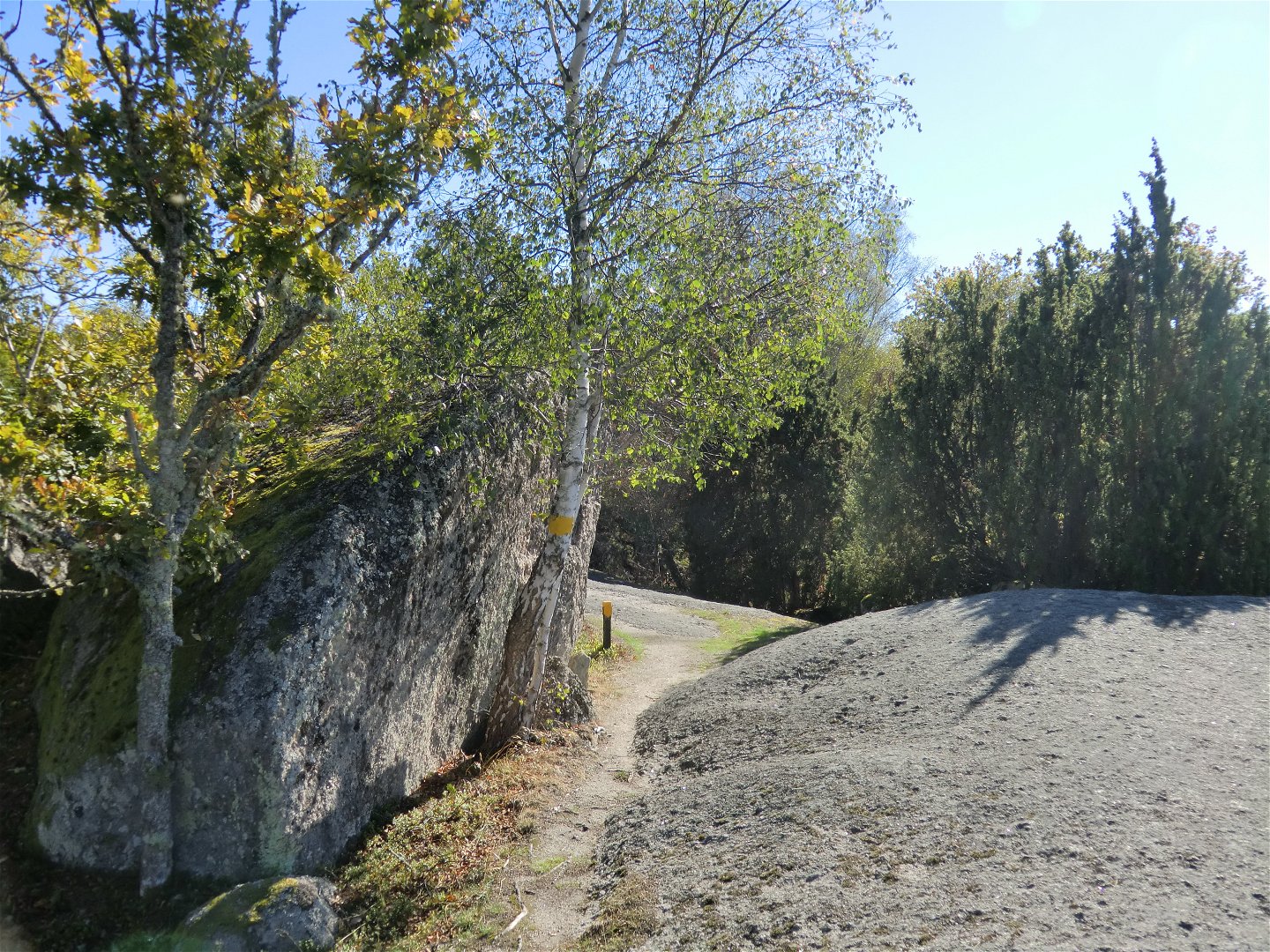
The trail is marked in yellow for the “Strövstigen” path in the south of the island and in blue for the “Naturstigen” loop in the north of the island.
Fotturer
Minor path. Not handicapped accessible, sometimes steep over the rocks.
Länsstyrelsen Blekinge
![]()
Vær oppmerksom på at noen av disse tekstene er automatisk oversatt.
Still et spørsmål til andre brukere av Naturkartan.
Oavsett om du är hardcore-hiker och vill vandra i en vecka, eller om du vill…

Sommarlovet behöver inte vara dyrt för att bli fullt av upplevelser. Runt om i Blekinge…
