
Vandring längs ARK56 i Blekinge - upptäck enastående naturskatter och dig själv
Oavsett om du är hardcore-hiker och vill vandra i en vecka, eller om du vill…

Fotturer
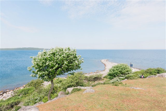
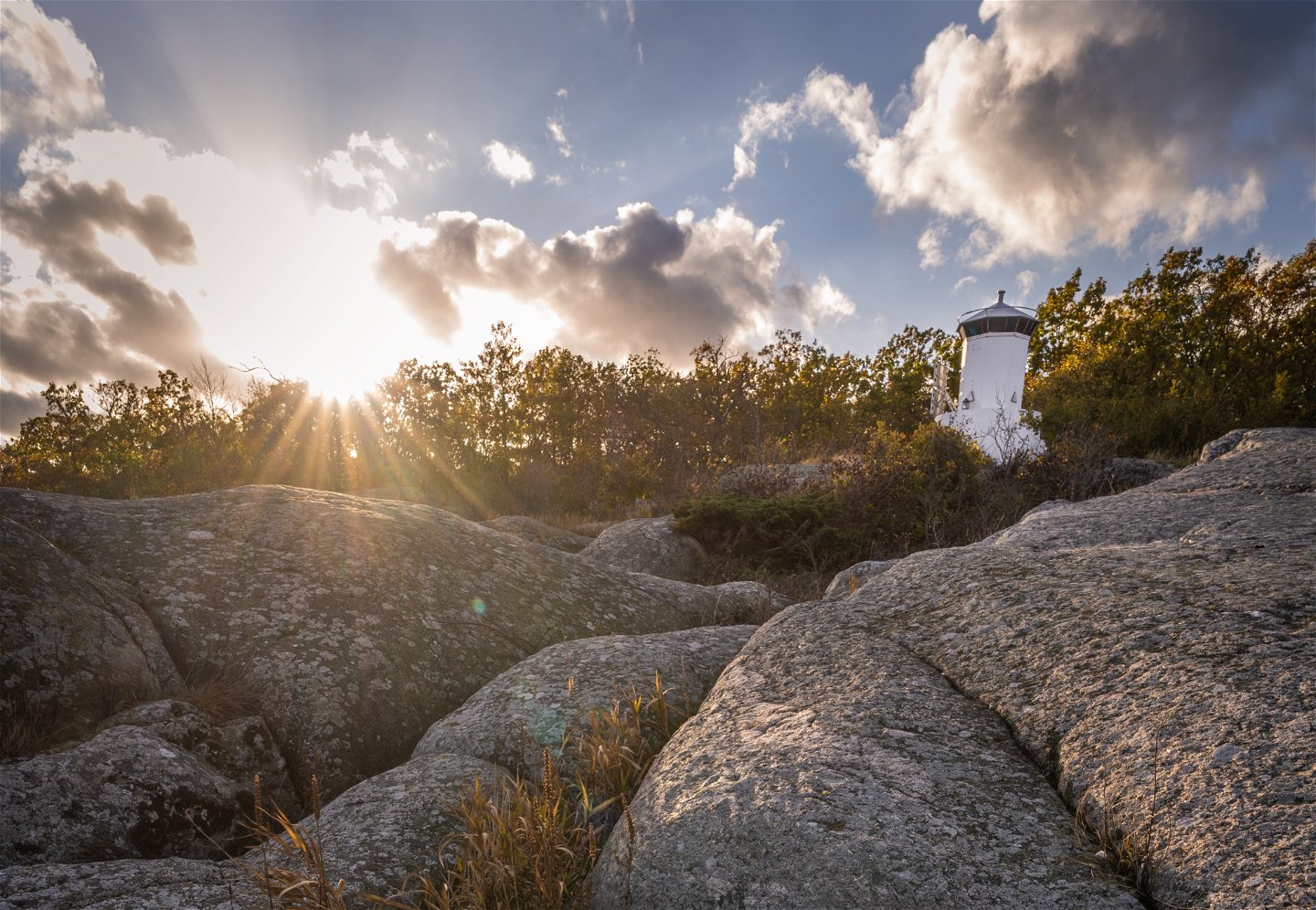
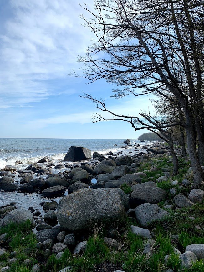
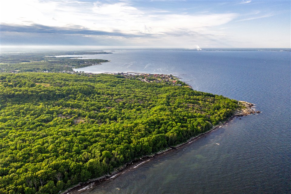
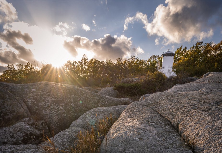
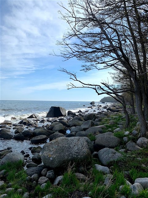
Listershuvud is Blekinge's largest nature reserve to the surface and consists of a 450-hectare area in the eastern part of Listerlandet. The nature reserve is located south of Hörvik and north of Nogersund. There are three recommended car parks for the nature reserve, one is in the northern part of Listershuvud along Huvudhallavägen. The second car park is in the middle of the reserve south of Getabjär by a road that connects to Markasträtet and the third car park is adjacent to Nogersund. Listershuvud's nature reserve can be reached via the Listerlandet cycle path that passes to the west of the reserve.
Within the reserve there are several hiking trails that make large areas within the nature reserve accessible. The stretches run between Hörvik in the north and Nogersund in the south, with several other areas in between. Areas that exist include the Utterskärvet, Engelska källan and Listershuvud's outpost. Within the reserve there are marked riding trails that enable recreation from horseback.
Fotturer
 Stille steder
 Hesteridning
 Løping
 Parkering i nærheten
 Nær offentlig transport
 I nærheten av toalett
Blekinge Arkipelag
Kurpromenaden 4
372 36 Ronneby
Team ARK56
![]()
Still et spørsmål til andre brukere av Naturkartan.
Oavsett om du är hardcore-hiker och vill vandra i en vecka, eller om du vill…