

-
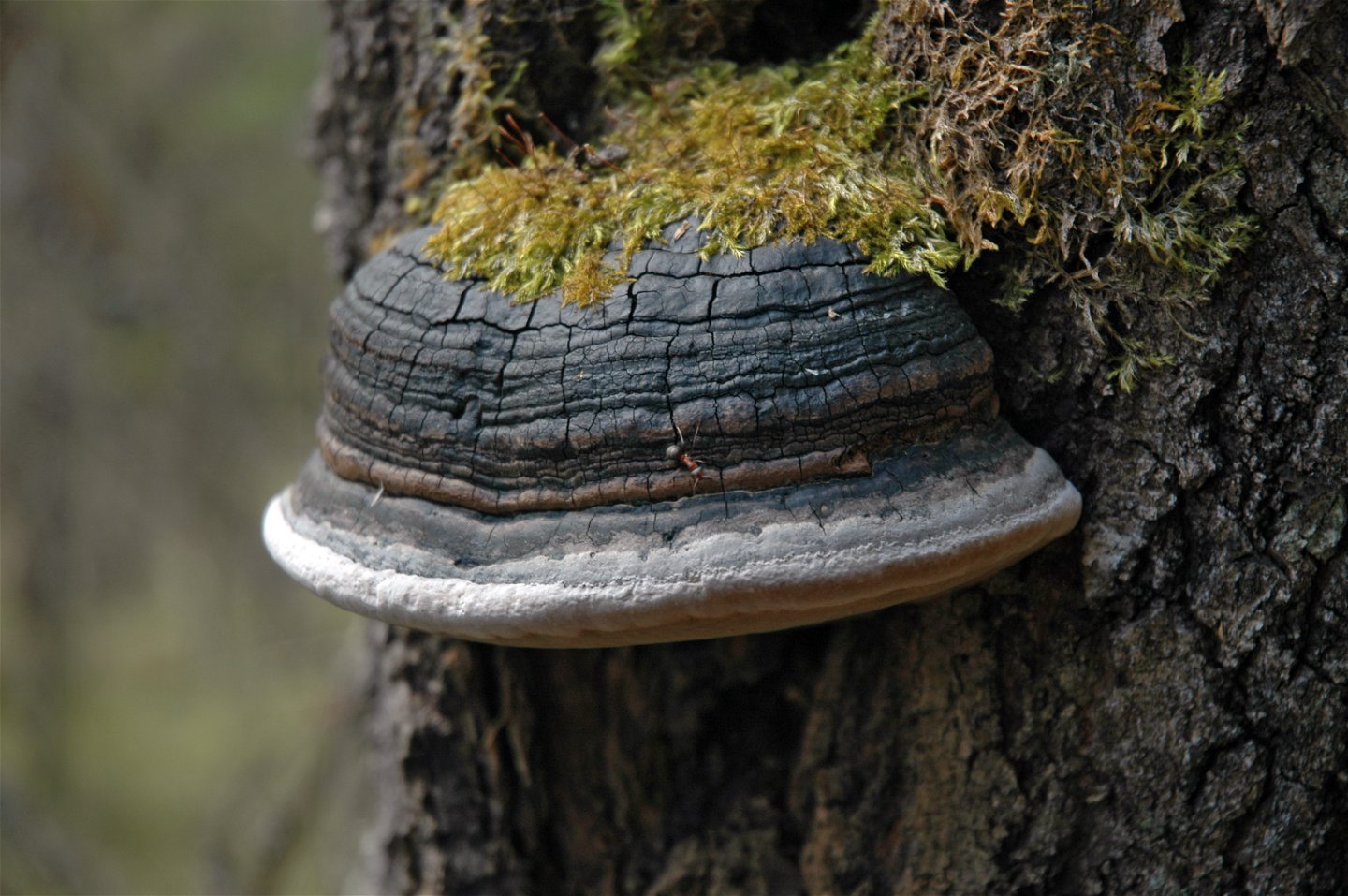
Kuva: Andreas Garpebring -

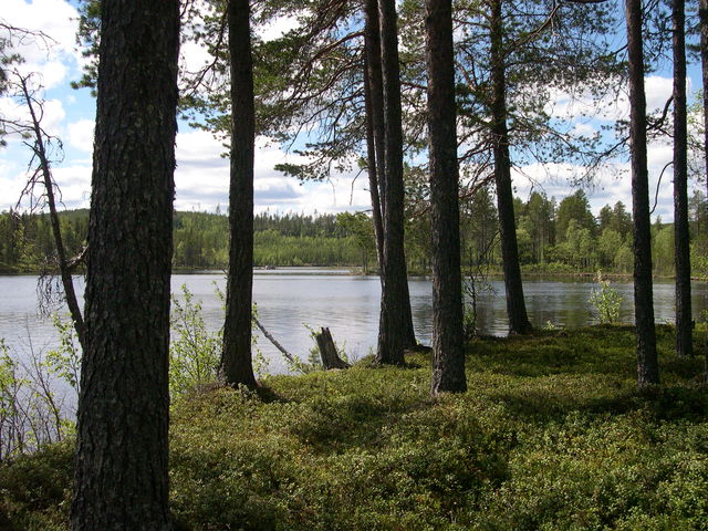
Kuva: Andreas Garpebring -
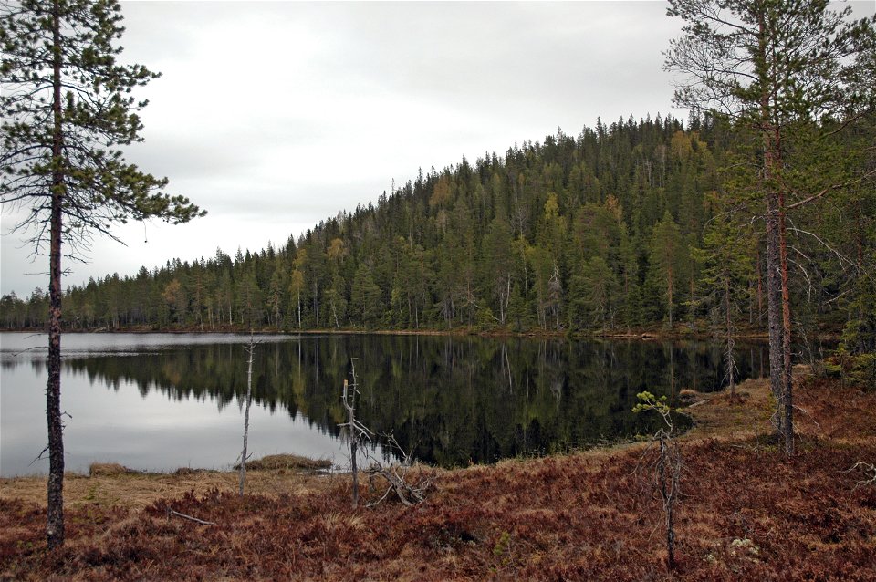
Kuva: Andreas Garpebring -

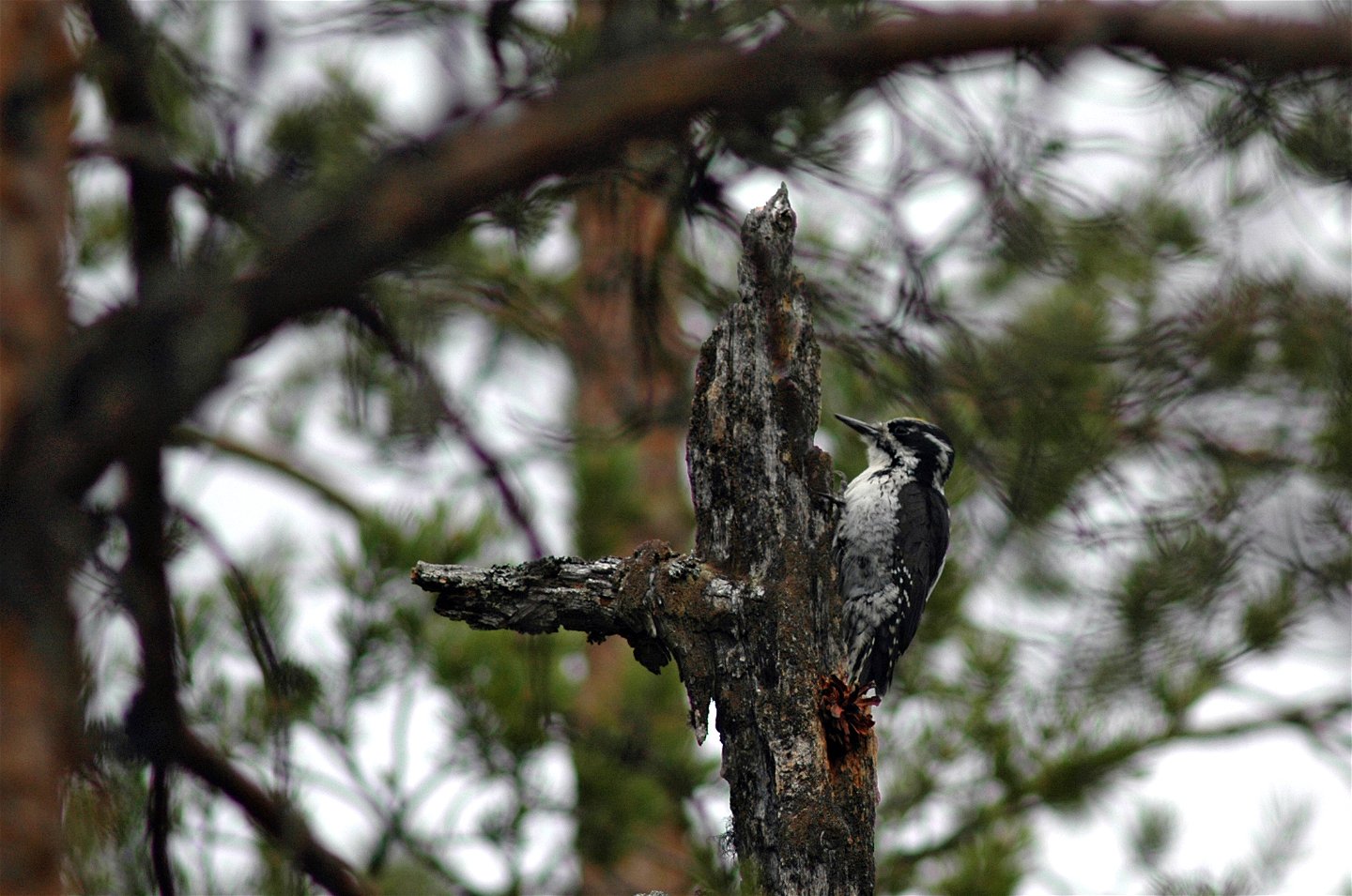
Tretåig hackspett.
Kuva: Andreas Garpebring

Isklinten
Luonnonsuojelualue
- Kunta: Västerbottens län
- 6646.78 km päässä sinusta
Toiminnot
Kuvaus
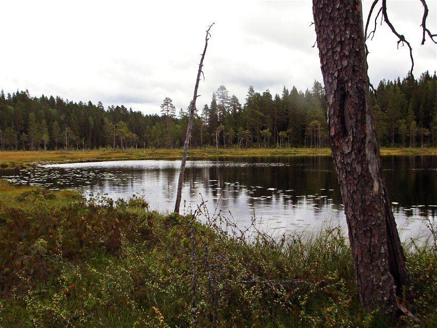
Visitors to the reserve are met by a forested upland area comprising two mountains. The western mountain, Isklinten, is the highest point in the reserve at 330 metres above sea level. The forest in the area is extremely varied. There are some areas of really old forest, where you can find species such as the three-toed woodpecker. The County Administrative Board is planning to burn and manage the forests in other ways in order to further improve the chances for woodpeckers and other species that like ancient woodland.
Toimintaa ja tilat
-
Luonnonsuojelualue
Reittiohjeet
The reserve is situated in the northern part of Umeå Municipality, 3 km north-west of Botsmark. Follow the road towards Vindeln for around a kilometre. A smaller road leads in to to Isklinten.
Ota yhteyttä
Sähköpostiosoite
Länsstyrelsen Västerbotten
Organisaation logotyyppi
![]()
Huomaa, että osa näistä teksteistä on käännetty automaattisesti.
Kysymykset & vastaukset (Q&A)
Esitä kysymys muille Naturkartan-käyttäjille.
Arvostelut
Sinua saattaisi kiinnostaa myös
