Fakta om Bergslagsleden
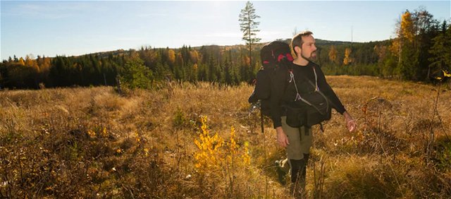
Bergslagsleden är en 28 mil lång vandringsled genom hela Örebro län. Den är uppdelad i…


Vaellusreitit
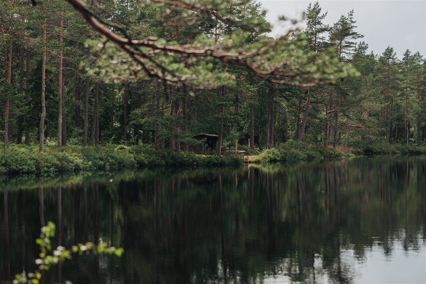
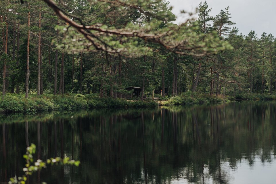
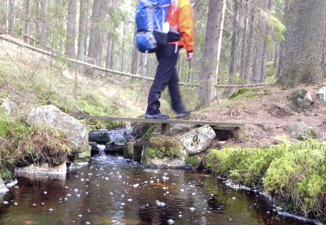
Stage 11 passes through the Garphyttan National Park, which is one of the oldest national parks in Sweden. It will also take you through one of the most beautiful areas in the region and which is well worth seeing as it offers a stunning array of natural experiences. You can become slowly acquainted with these old agricultural areas with their abundance of meadow flowers and the huge number of flora and fauna that thrive here. In the ancient forests you can see the remains of the former Klunkhytte fortification, which dates back to the Iron Age. From here you have a view of Lake Leken and the road that has been a vital transport link between the provinces of Närke and Värmland since the Viking Age. Our resting place, with a wind shelter, fireplace and toilet, is located at Lilla Tväggelåten.
Vaellusreitit
Length: 16 km
Time: 4,5 h
Difficulty level: 3
Activities: Swimming
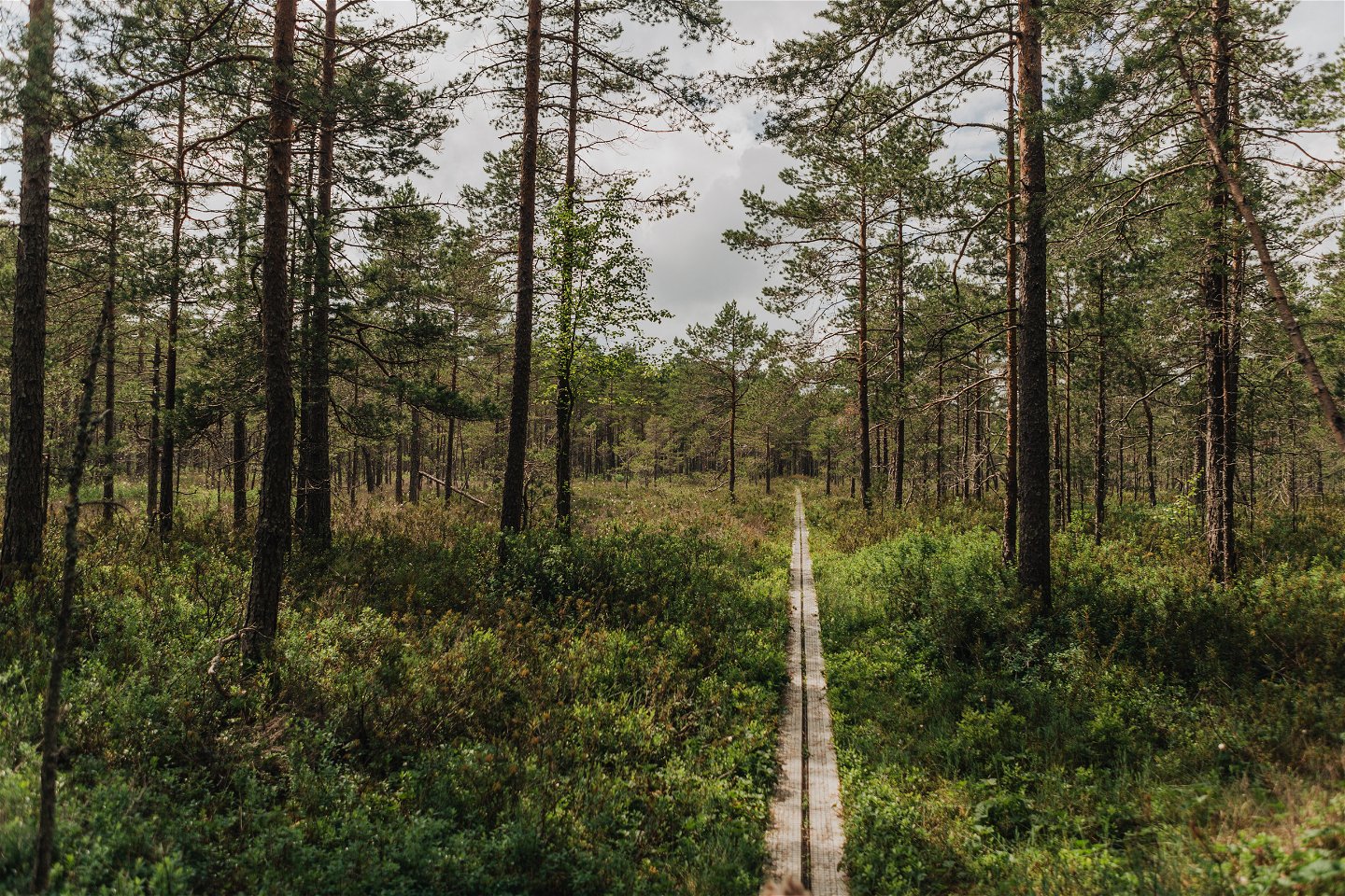
Surface: Forest road and forest path.
Altitude: 215 m above sea level
Fresh water: Fresh water is available in Suttarboda at the barn about 300 m north of the rest area. Lekhyttan's kitchen & kiosk offers water when they are open. Most often 09-17.00
**Accommodation
To Suttarboda you can either walk the gravel road up from Garphyttan, 4 km, or order local traffic from the Garphyttan stop. See link below.
Lekhyttan has a bus stop on the E18 with daily traffic Örebro-Karlskoga.
https://www.lanstrafiken.se/reseplanering/flextrafik-och-nartrafik/nartrafik-i-orebro-lan/
Johan Karlström
![]()
Huomaa, että osa näistä teksteistä on käännetty automaattisesti.
Esitä kysymys muille Naturkartan-käyttäjille.
Bergslagsleden är en 28 mil lång vandringsled genom hela Örebro län. Den är uppdelad i…
Graderingen är anpassad för svenska låglandsleder som följer de kvalitetskriterier som tagits fram av det…
