Upptäck Ljungbys historia - besök "missa-inte" och "det hade jag ingen aning om"-platser
Under vintern 2023 visades serien ”Historien om Sverige” påSVT. I serien kunde man följa hur…


Vaellusreitit
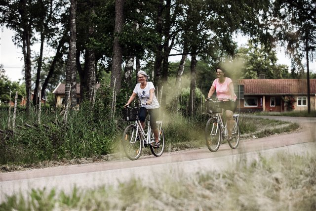
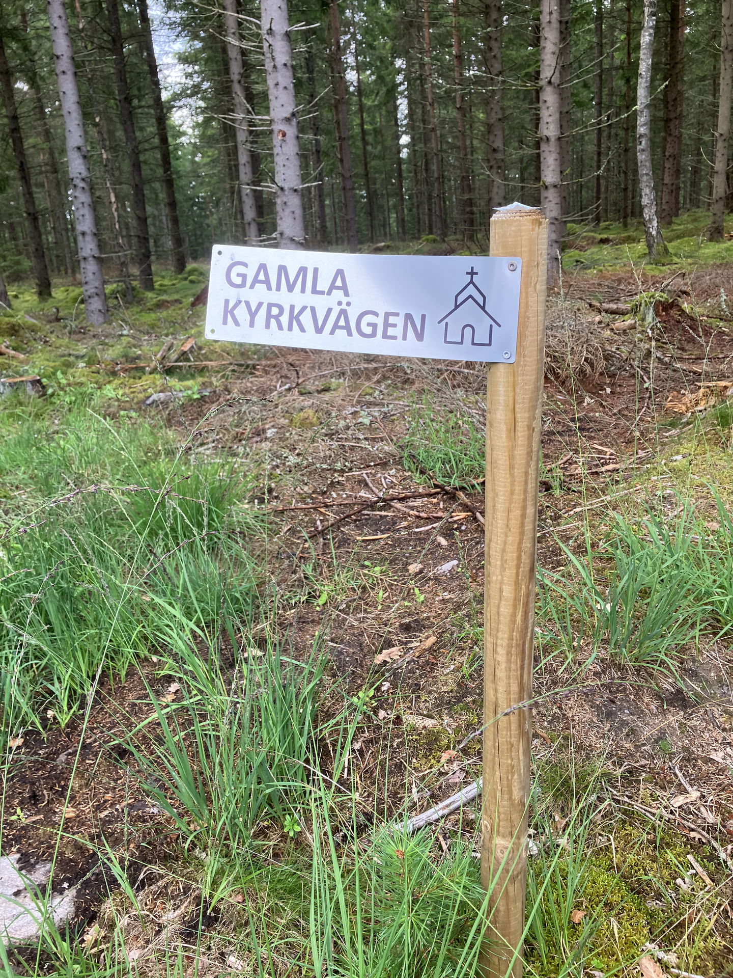
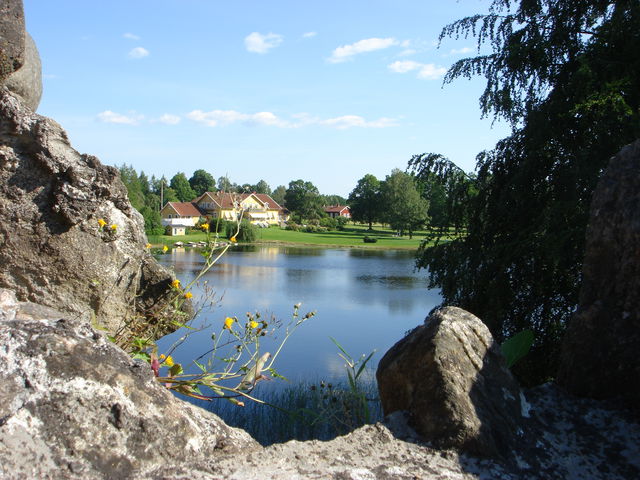
The Tannåker-Bolmsö Gymnastics Association has marked the old church path from Bolmsö Church to Bakarebo. The hiking trail follows old paths and existing roads.
The church path was mostly a trail that passed the cottages and hillside huts located on the western side of Bolmsö. Here, mostly poor people lived who traveled on foot and could not afford a horse and carriage. The church path was also used for everyday errands and transports. On the eastern side of Bolmsö, there was a country road.
There were many people living along the church path. On Sundays, there was a church service. Those who lived in Bakarebo had the longest walk, about 15 km. Then people joined gradually, it could become a whole line of church people.
There were many people living along the church path. On Sundays, there was a church service. Those who lived in Bakarebo had the longest walk, about 15 km. Then people joined gradually, it could become a whole line of church people.
Source: Tannåker-Bolmsö Gymnastics Association.
NOTE! The map marking is not entirely accurate, please follow the signage to find the correct way.
(AI translated)
Vaellusreitit
![]()
Huomaa, että osa näistä teksteistä on käännetty automaattisesti.
Esitä kysymys muille Naturkartan-käyttäjille.
Under vintern 2023 visades serien ”Historien om Sverige” påSVT. I serien kunde man följa hur…