Upptäck Ljungbys historia - besök "missa-inte" och "det hade jag ingen aning om"-platser
Under vintern 2023 visades serien ”Historien om Sverige” påSVT. I serien kunde man följa hur…

Vaellusreitit
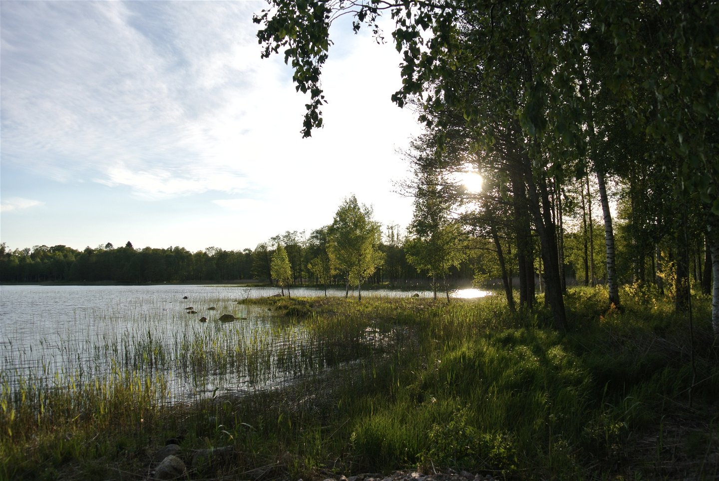
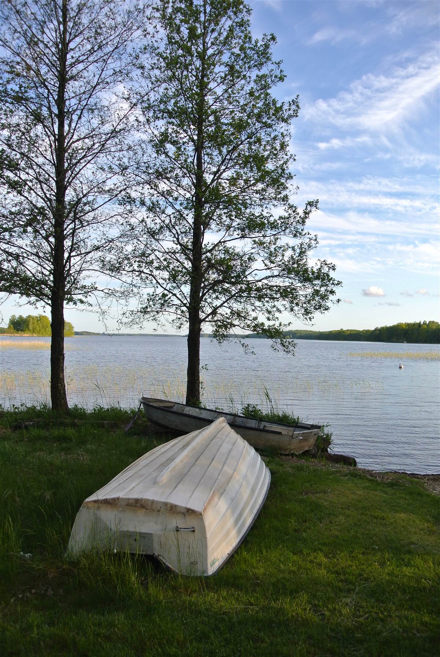
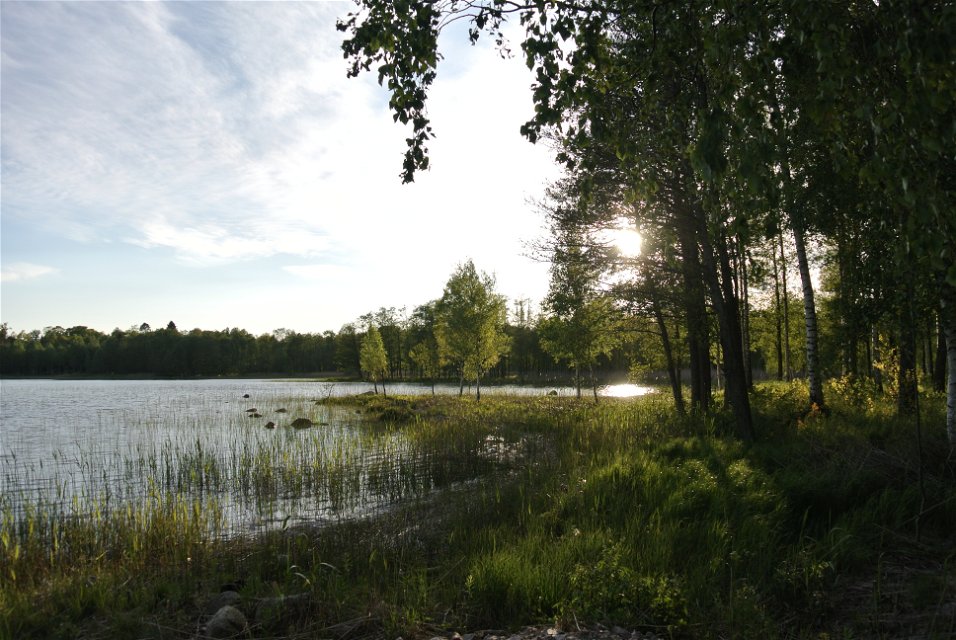
There are 18 information boards along the 6.5 km loop. These information boards tell about businesses or people who worked in the area.
Discover the area by hiking or cycling. It is also possible to shorten it and take it in stages by walking the church path, Rydalavägen or the road by Folkets hus.
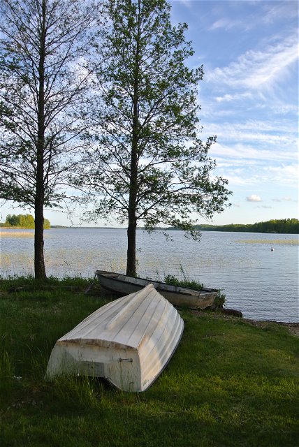
Suitable starting points are the bathing area or the church, where there are plenty of parking options.
The proposal is made byAngelstads Hembygsförening.
 Pyöräily
Vaellusreitit
Pyöräily
Vaellusreitit
 Pyörösilmukka
![]()
Huomaa, että osa näistä teksteistä on käännetty automaattisesti.
Esitä kysymys muille Naturkartan-käyttäjille.
Under vintern 2023 visades serien ”Historien om Sverige” påSVT. I serien kunde man följa hur…
