
Ny satsning på vandringslederna i världsarvet Södra Ölands odlingslandskap
Runt omkring i världsarvet på södra Öland finns spännande berättelser om människor och platser som väntar på att bli berättade. Nu har två digitala guidningar…


Vaellusreitit
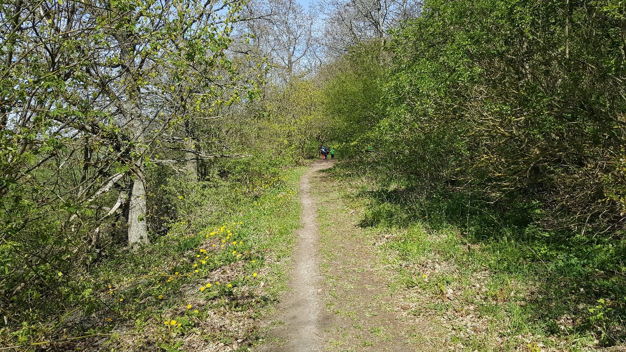
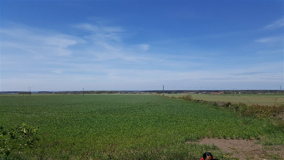
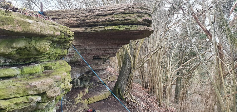
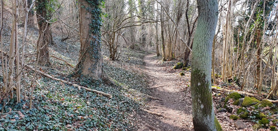
Nunnedalen is located just south of Vickleby and is a narrow strip of deciduous forest on the edge of the western landborgen. In spring the ground here is covered with blue, white and yellow daisies.
There are also spring bulbs and several species of evening primrose, just to name a few of the rich flora found here. The ivy spreads over a large area and winds its way up many of the tall oak and ash trunks. There is also a small altar where gatherings and weddings sometimes take place. Along the crest of the castle runs the Landborg Trail and along its foot is the Paradise Trail, with a total length of 4 km. This is probably a very old route between the churches of Resmo and Vickleby. There are two car parks along road 136 adjacent to the area.
Vaellusreitit
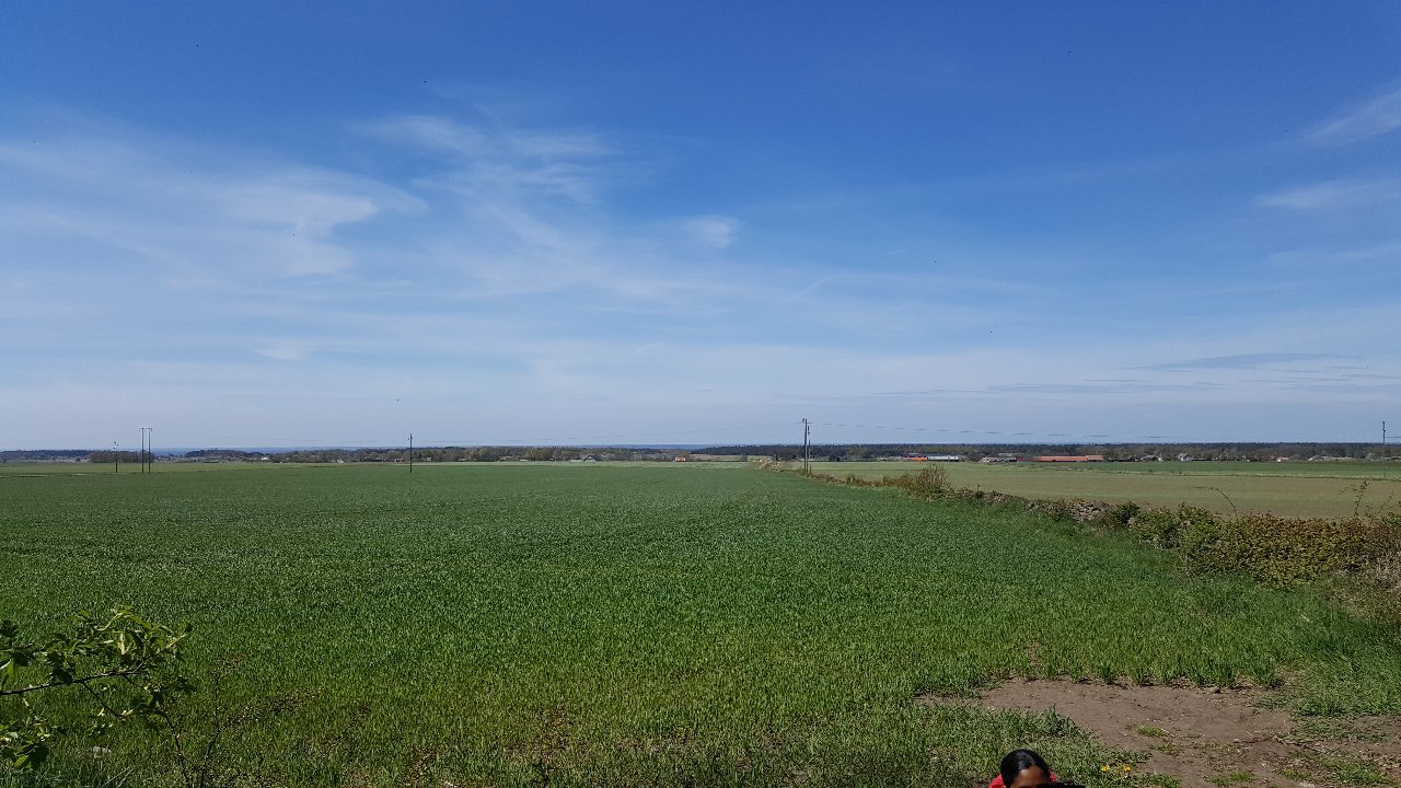
 Lähellä pysäköintipaikkaa
Matheus Tholin
![]()
Huomaa, että osa näistä teksteistä on käännetty automaattisesti.
Esitä kysymys muille Naturkartan-käyttäjille.

