

Vandring, Kävsjön runt
Vaellusreitit
- Kunta: Jönköpings län
- 6740.01 km päässä sinusta
Polun yksityiskohdat
- Pituus 12.0 km
- Aika 3 h
Toiminnot
Kuvaus
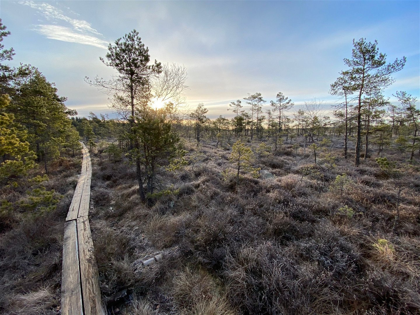
The trail is marked in red.
You can start the hike at four different entry points: Naturum, Kävsjö, Svänö, and Östra Rockne.
If you start at Naturum, there is a paper guide for the entire route. It is located in a box by the parking lot. The paper guide is designed for hiking clockwise around the lake.
There is a rest hut, fire pit, and restroom at Svänö. The trail runs mostly through the forest with detours to a bird tower on the Kävsjö side and one at Svänö.
On the eastern side of the lake, you enter the raised bog itself, and at the trail junction, you can take the eastern trail and connect to the Svartgölsleden trail via a wheelchair-accessible boardwalk out to Svartgölen.
The trail consists of both boardwalks and uneven forest paths that may have many roots.
Read more at Store Mosse National Park
Toimintaa ja tilat
-
Vaellusreitit
-
 Pyörösilmukka
Ota yhteyttä
Sähköpostiosoite
Huomaa, että osa näistä teksteistä on käännetty automaattisesti.
Kysymykset & vastaukset (Q&A)
Esitä kysymys muille Naturkartan-käyttäjille.
