


Skellefteå


Hiking
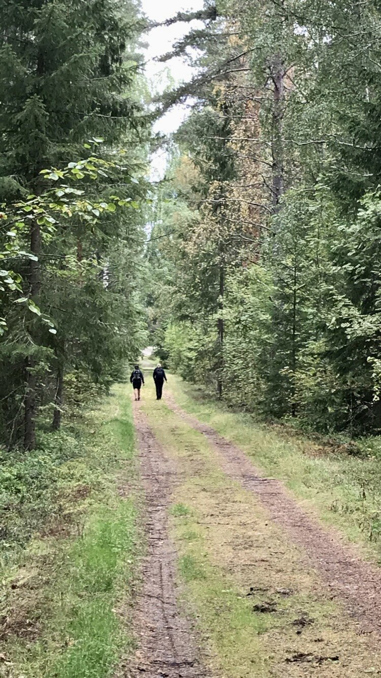
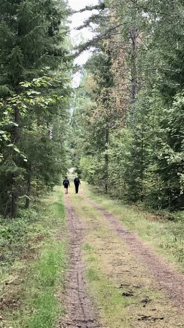
A nice little magic trail outside Ytterstfors (along the trail) may appeal to both large and small hikers.
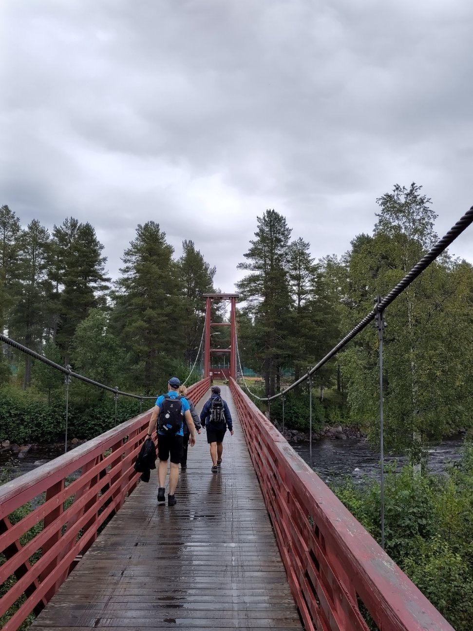
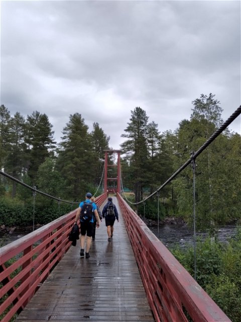
The Furuögrundsleden trail runs in a scenic environment along the coast. It stretches over hilly terrain with a few short steeper sections. There are a number of rest areas and shelters along the trail and it is partly fenced. During the summer there is a café at the marina in Furuögrund which is also an alternative start to the trail. A nice little troll path outside Ytterstfors (along the trail) may appeal to both big and small hikers.
Hiking
 Attraction
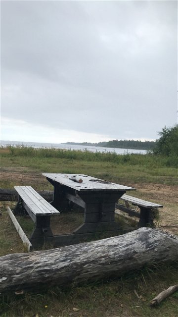
 Firesite
You can park either in Kolviken in the south or outside Byske havsbad. In Kolviken you park at the beginning of the area, before the cottage people's guest parking lots.
You can start at Byske havsbad or at Kolviken, south of Furuögrunds hamncafé.
Kundtjänst Skellefteå kommun
![]()
Please be aware that some of these texts have been automatically translated.
Ask a question to other Naturkartan users.
