-

Photo: Jonas Grahn

Brånamyran
Nature reserve
- County: Västerbottens län
- 6588.18 km away from you
Actions
Description
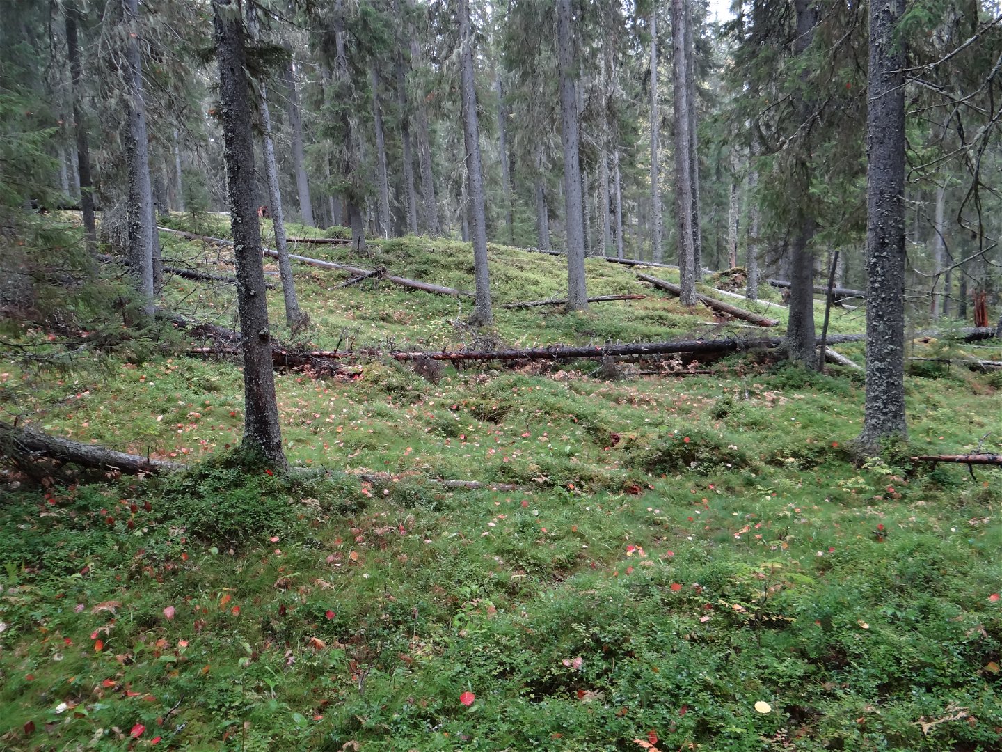
The area comprises a steep western slope running down to a mire. The forest bears traces of recurring fires. The last fire here took place around 150 years ago.
Both conifers and deciduous trees grow here. Forest fires are the reason for the forests being mixed. There are many windfall trees and plenty of dead trees lying on the ground. The rare herzodiella moss grows at Brånamyran.
Activities And Facilities
-
Nature reserve
Directions
Naturreservatet ligger 4 mil söder om Lycksele, mellan Vänjaurträsk och Vargträsk.
Contact
Email address
Länsstyrelsen Västerbotten
Organization logotype
![]()
Please be aware that some of these texts have been automatically translated.
Questions & Answers
Ask a question to other Naturkartan users.
Reviews
You might also be interested in
