

-
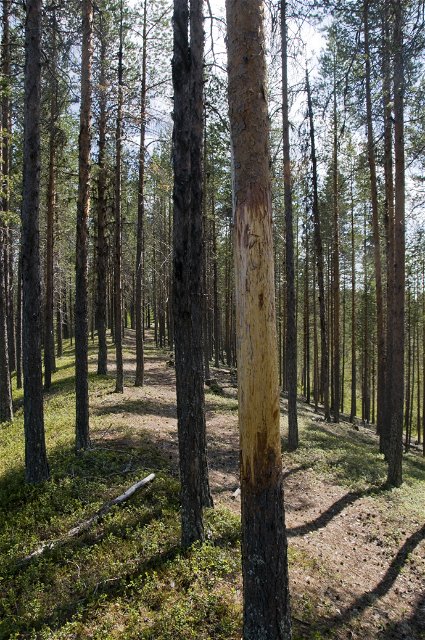
Photo: Andreas Garpebring -
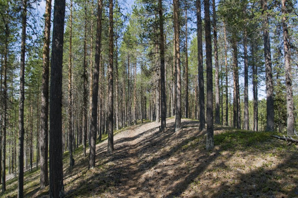
Photo: Andreas Garpebring

Björktjärnskammen
Nature reserve
- County: Västerbottens län
- 6578.42 km away from you
Actions
Description
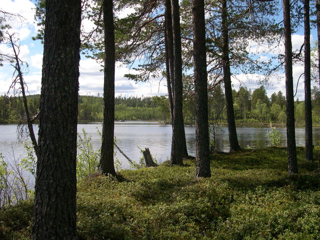
Björktjärnskammen is a three kilometre long esker that was created by underwater flows as the inland ice slowly melted and retreated 10,000 years ago. Follow the path on the esker to the forest ranger’s hut.
From the road in the south-east, where the esker begins, there is a well-trodden path that follows the esker all the way to its end in the north-west. After walking for around a kilometre from the road, you come to a small forest hut that was used in the 1950s by forest workers. As forestry has been conducted in the area, the forest is relatively young.
Activities And Facilities
-
Nature reserve
Directions
The reserve is located about 18 km northeast of Lycksele.
Contact
Email address
Länsstyrelsen Västerbotten
Organization logotype
![]()
Please be aware that some of these texts have been automatically translated.
Questions & Answers
Ask a question to other Naturkartan users.
Reviews
You might also be interested in
