


Fämtleden
Hiking
- County: Värmlands län
- 6532.44 km away from you
Trail details
- Length 8.0 km
- Difficulty Red - demanding
Actions
Description
A hiking trail with beautiful scenery at the rapids of Fämtfallet, near Ambjörby.
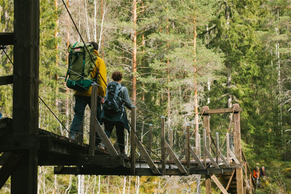
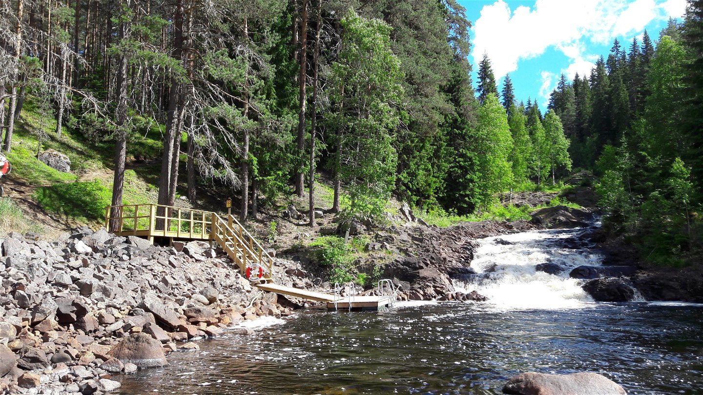
You will, among other things, go past the white water rapids of Fämtfallet, a 60 m deep canyon and some interesting industrial heritage sights.
The path crosses the stream Fämtan at ca 4 km upstream, where Lake Tallåedan was formed. A nearly 100 years old suspended bridge will take you to the other side.
ATTENTION! The trail is 8 km - the gpx file embedded in this system shows 6 km.
Activities And Facilities
-
Hiking
Directions
Signposted from highway 62 about 5 km north of Ambjörby in Klarälvdalen.
Contact
Address
Visit Torsby
turist@torsby.se
Please be aware that some of these texts have been automatically translated.
Questions & Answers
Ask a question to other Naturkartan users.
