-
Anna Lindblad -

Anna Lindblad -
Anna Lindblad -
Anna Lindblad -

Anna Lindblad -
Anna Lindblad -
Anna Lindblad


Näset och Slängen
Hiking
- County: Stockholms län
- 6865.48 km away from you
Trail details
- Length 2.5 km
Actions
Description
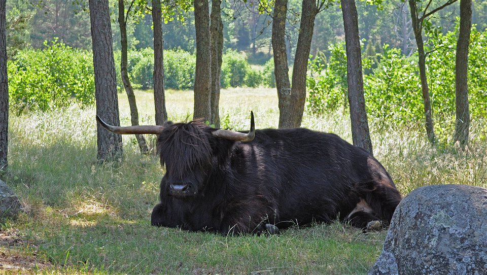
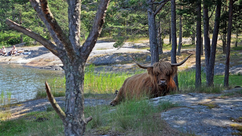
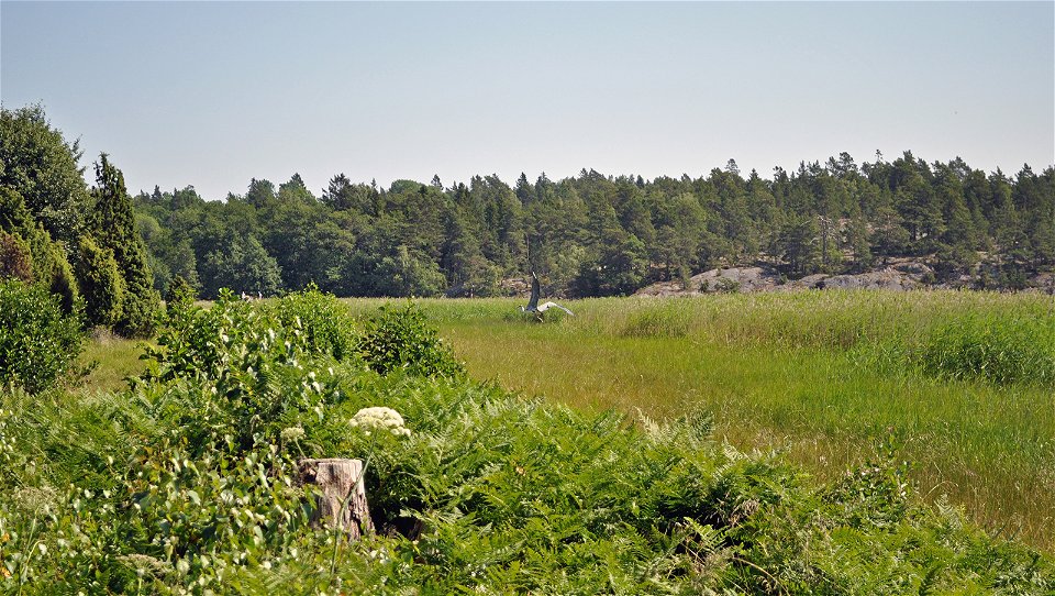
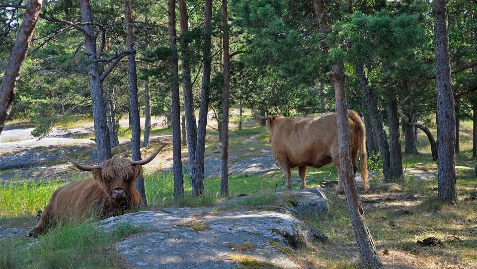
Here in northern Björnö you can walk in a beautiful pastoral landscape grazed by cows and horses. At the northern end of the trail there is a campsite with access to a toilet, barbecue area, swimming and seating. You can get here by following the road north from the entrance or by boat to the natural harbor Gropen.
Activities And Facilities
-
Hiking
Accessibility
-
 Near toilet
Contact
Email address
Länsstyrelsen i Stockholm
Organization logotype
![]()
Please be aware that some of these texts have been automatically translated.
Questions & Answers
Ask a question to other Naturkartan users.
