Images

Vikskvarn – mill history and unique geological site
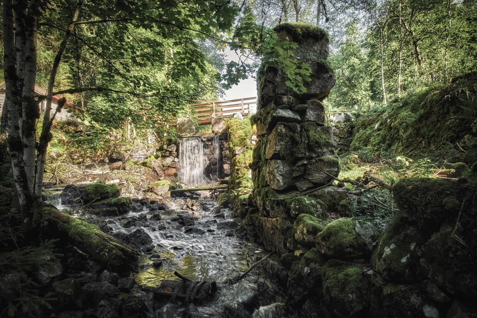
At Vikskvarn, you step into a bygone mill era. Only ruins remain of the old Vikskvarn mill. The river flows through the ruins and has exposed the geologically interesting Almesåkra formation, a 700-800 million-year-old sedimentary rock series, which has made the mill ruins a classic study site for bedrock geology.
There is also a 2-kilometer hiking trail here, marked with blue paint on trees. The trail partly coincides with the Höglandsleden hiking trail, which is marked with orange paint. The trail leads you through old coniferous forest along the steep banks of the Storkvarnsån river up to the ruins of Vikskvarn. Along the slopes, you can study the geologically interesting Almesåkra Formation.

