


paths in Dansätter
Hiking
- County: Östergötlands län
- 6740.43 km away from you
Trail details
- Length 4.9 km
Actions
Description
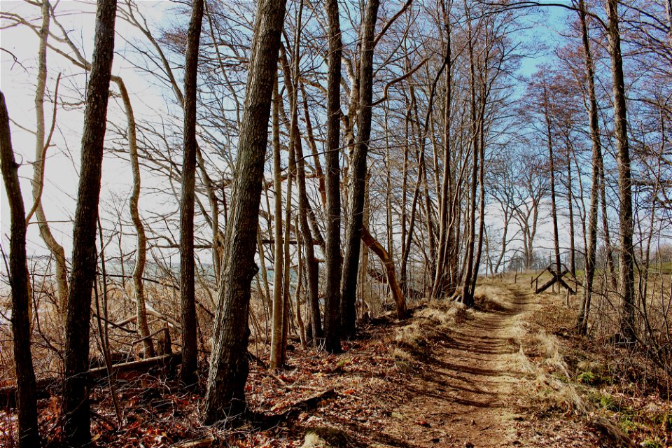
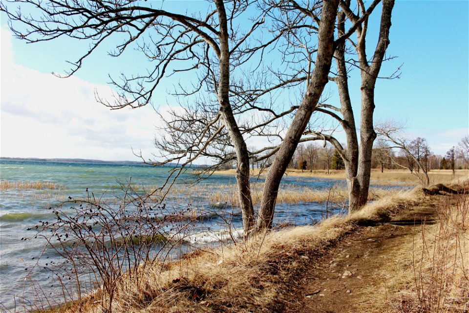
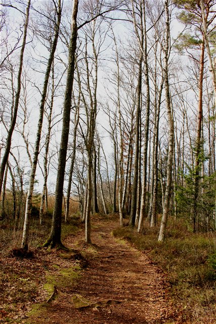
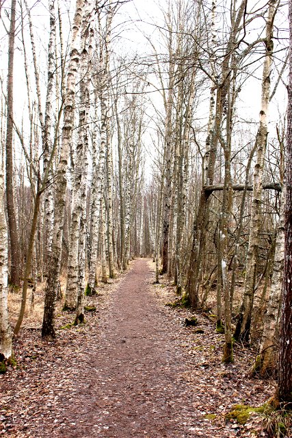
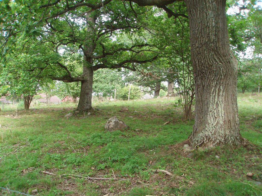
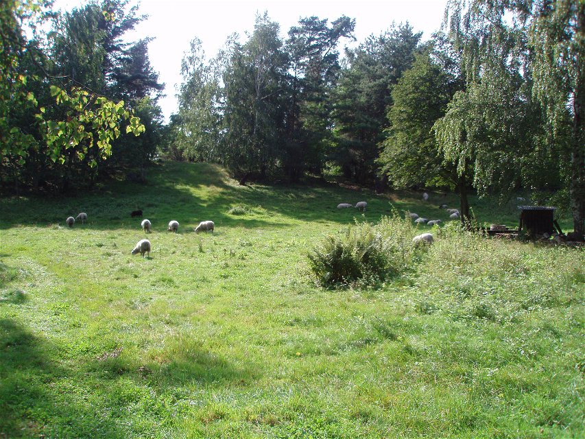
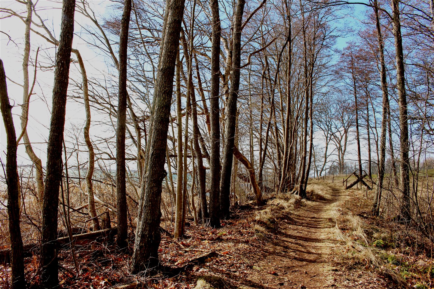
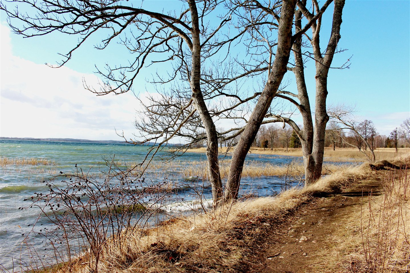
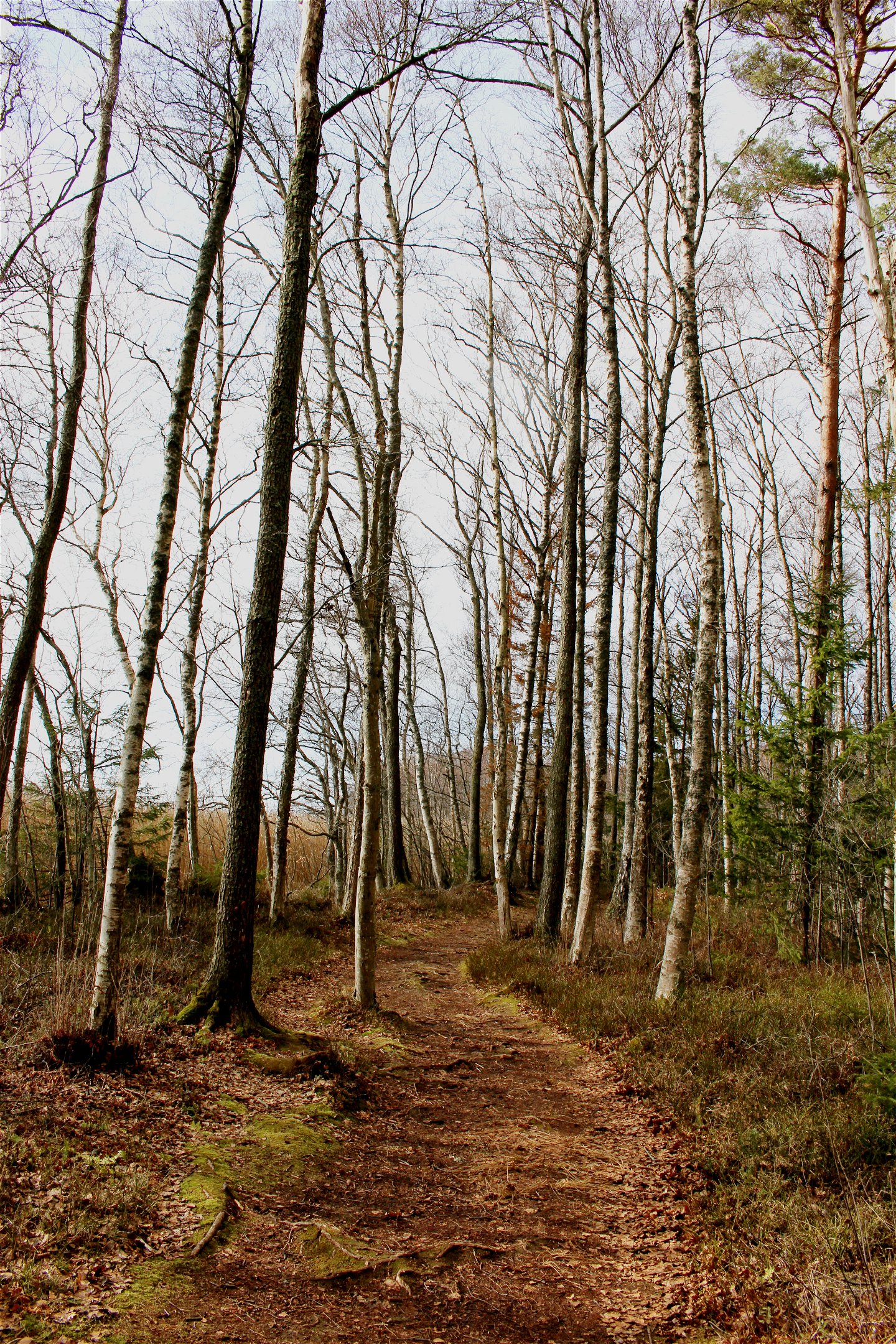
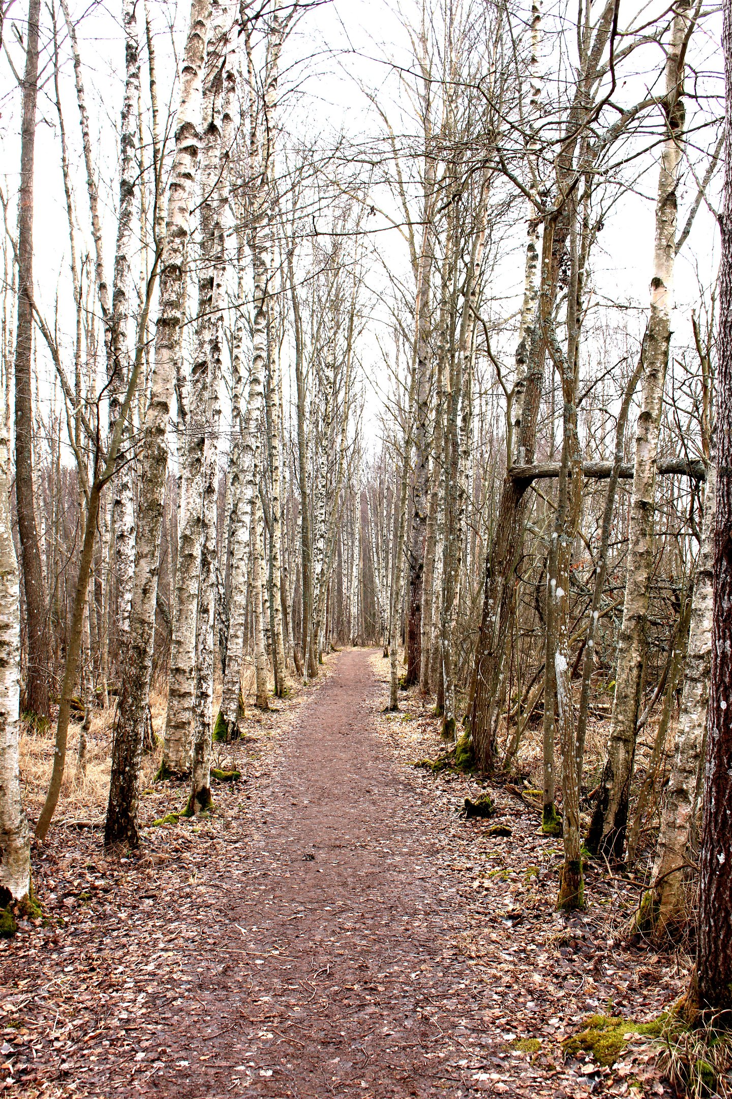
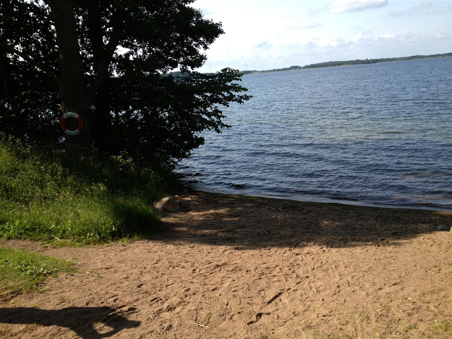
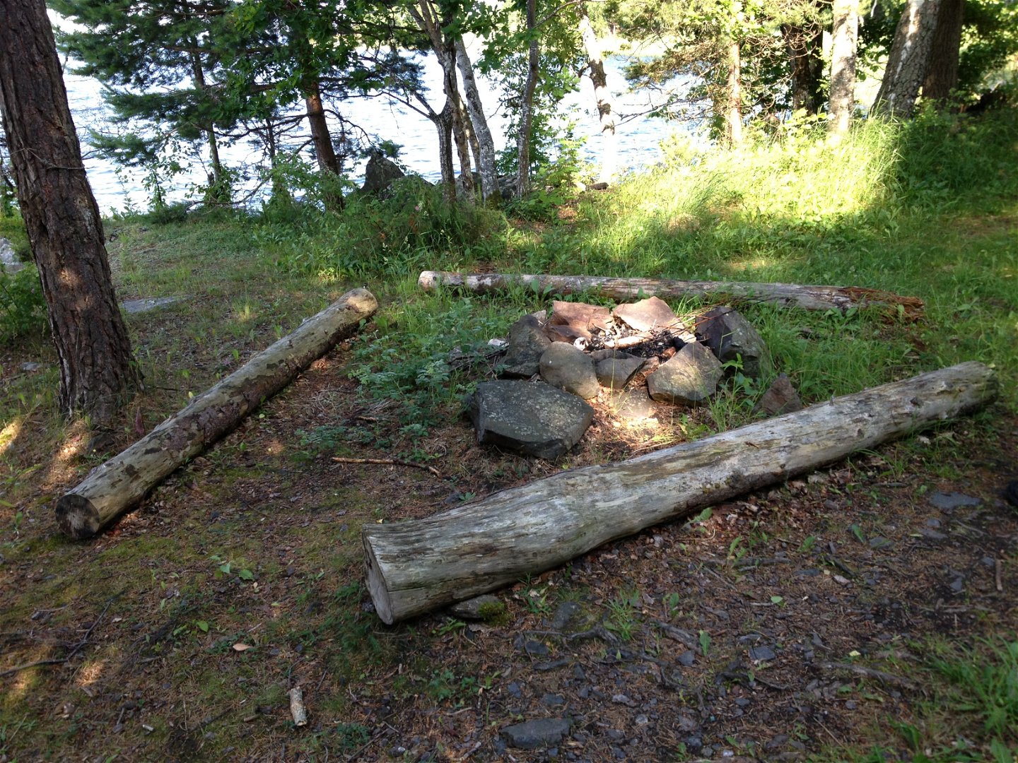
Adjacent to Motala stream in Borenberg is this urban nature area with, among other things, deciduous forest. Between the residential buildings and Lake Boren there is a wide strip of natural land. Despite the absence of cultivation, the area still has the character of an older agricultural landscape with old forest pastures, open pastures and fields. Along the beach there is a path between small bathing places.
Activities And Facilities
-
Hiking
Contact
Address
Kontakta mig om du har frågor om Motalas Naturkarta.
Email address
Hilda-Linn Berglund
Organization logotype
![]()
Questions & Answers
Ask a question to other Naturkartan users.
