


Vandra genom naturreservaten vid Fågelmossen
En vandringsled gör en slinga runt fyra naturreservat i området vid Fågelmossens naturreservat. Det är…


Hiking
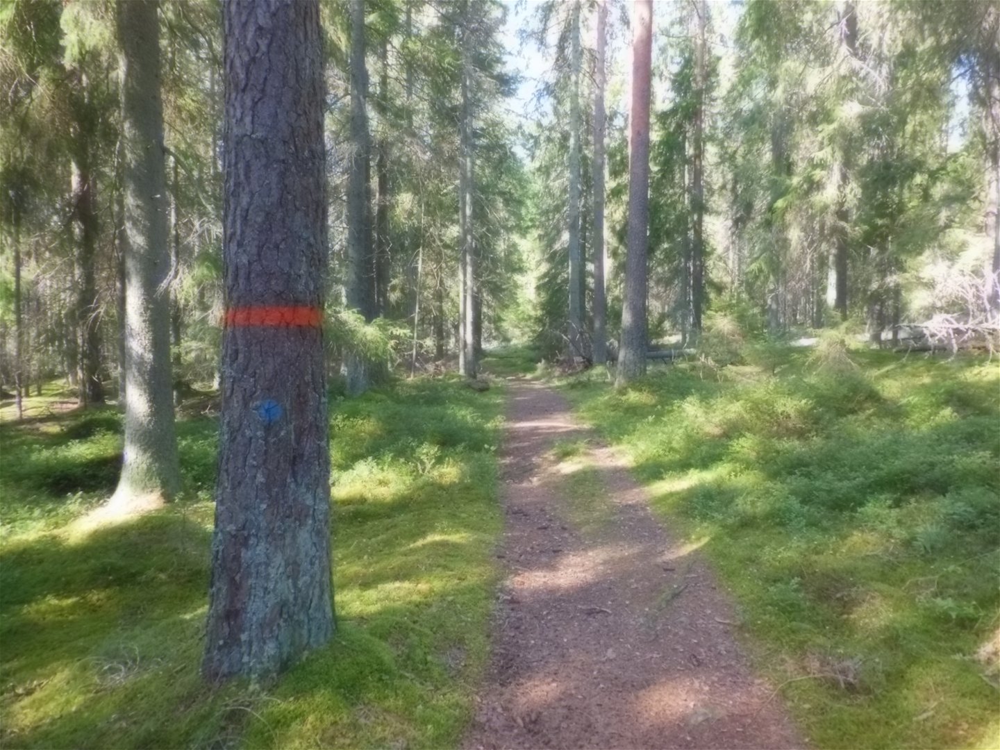
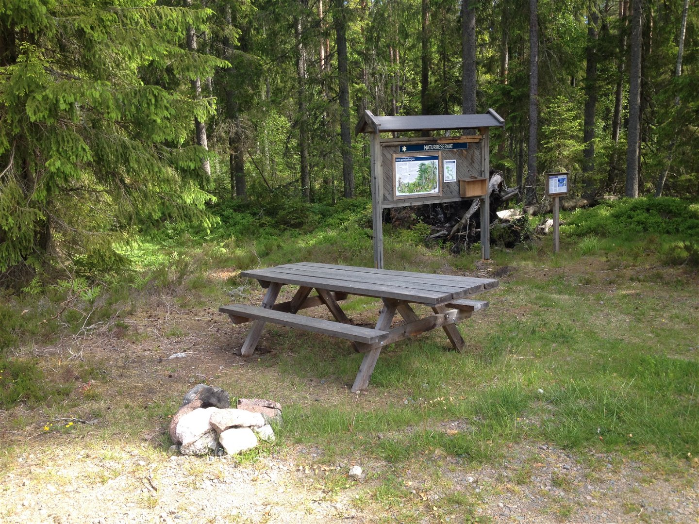
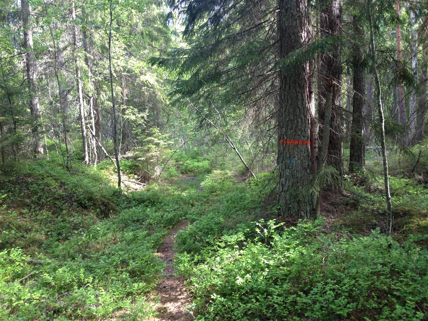
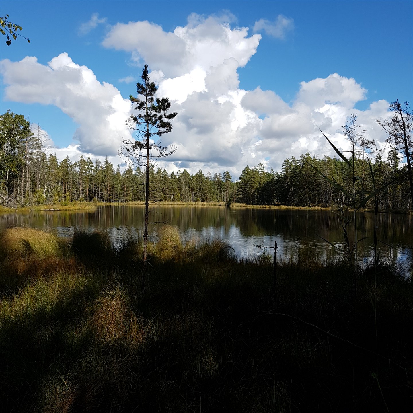
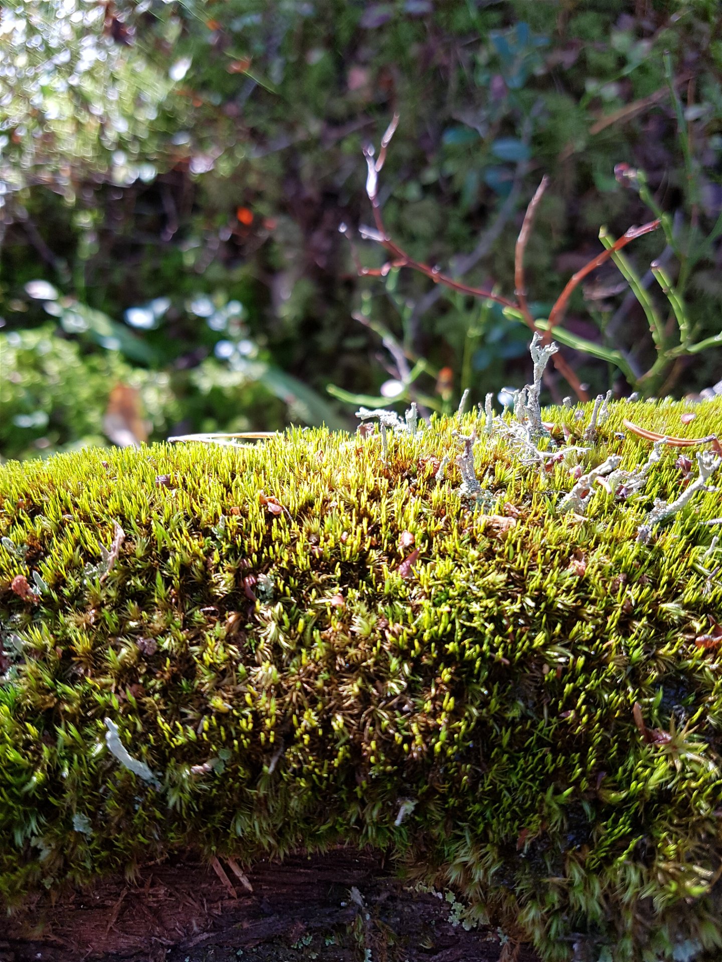
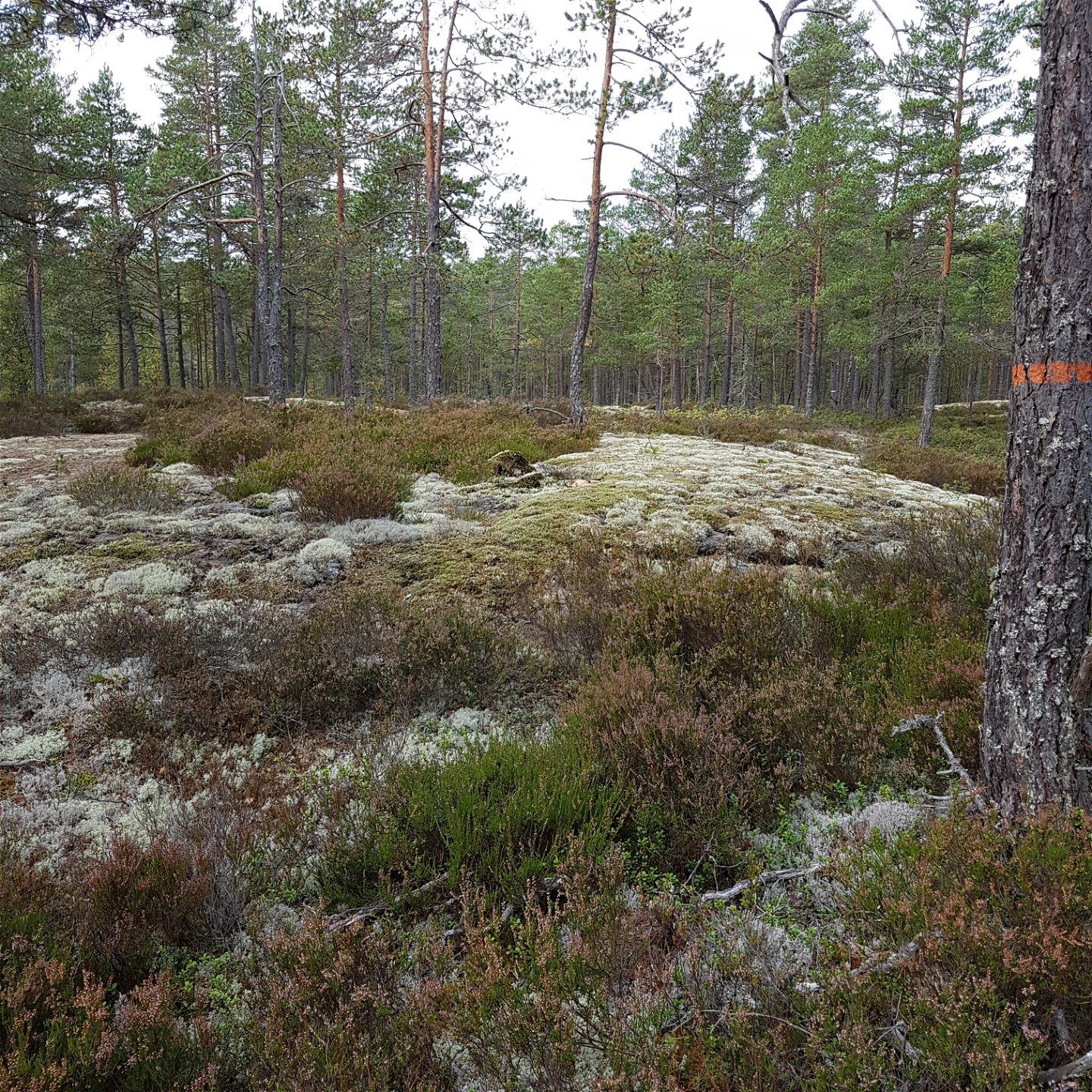
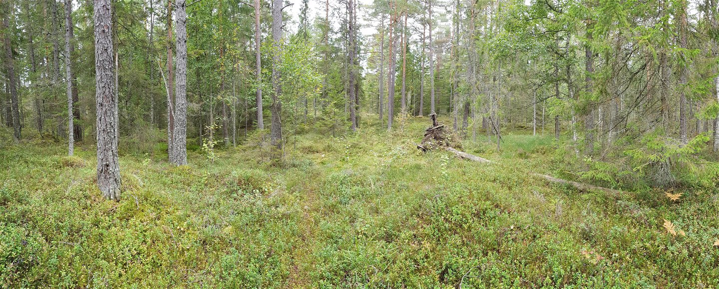
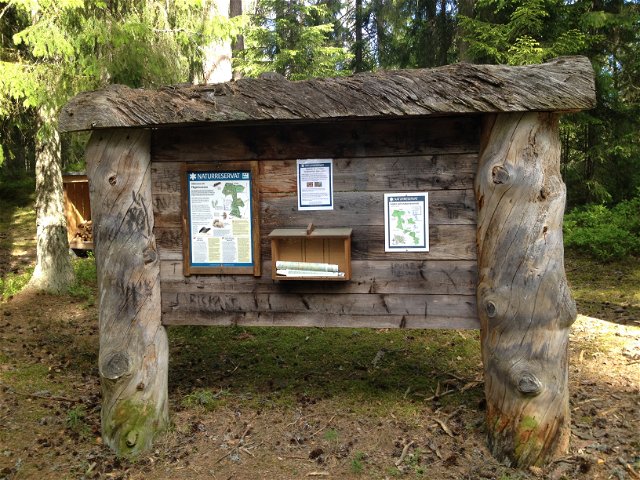
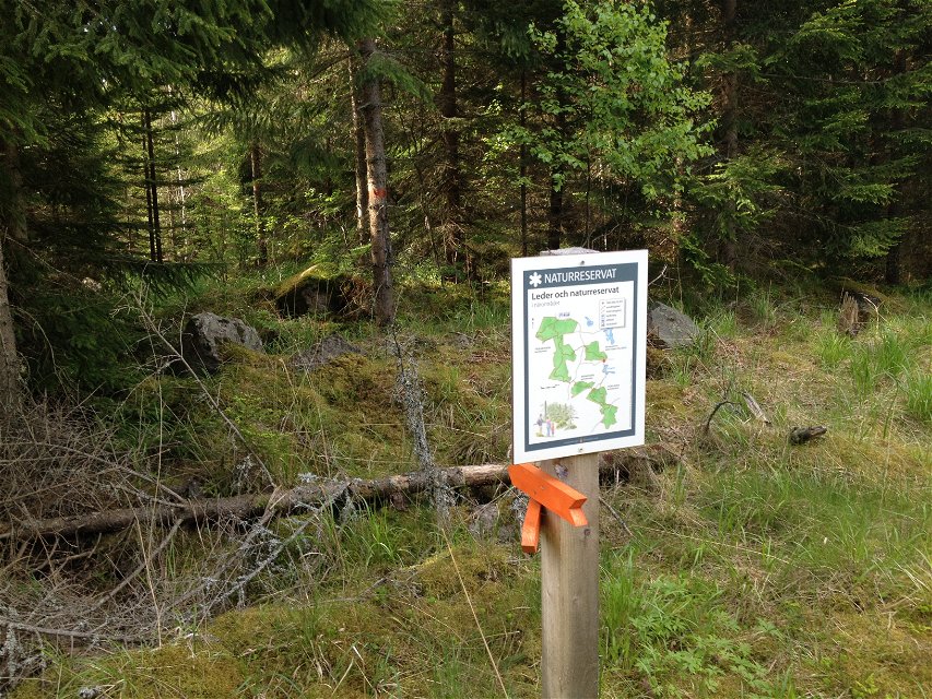
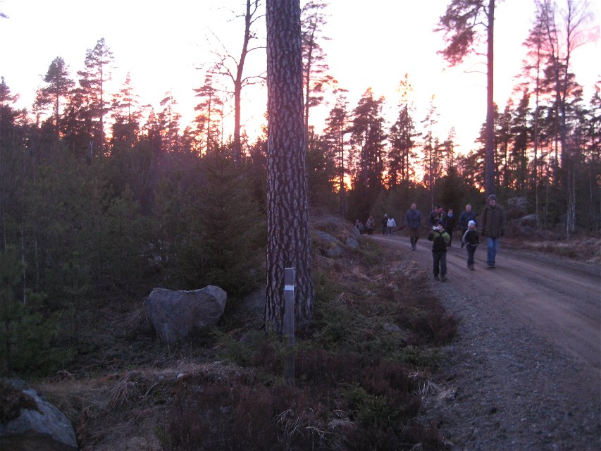
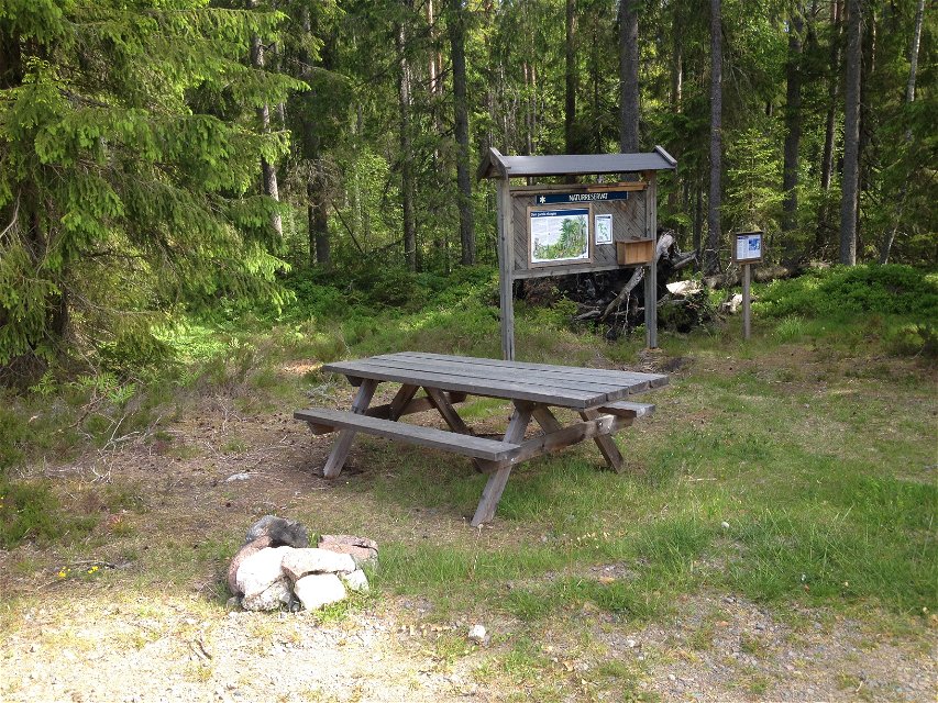
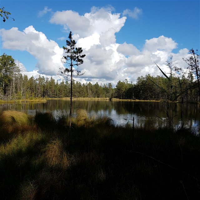
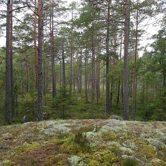
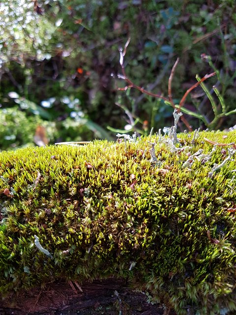
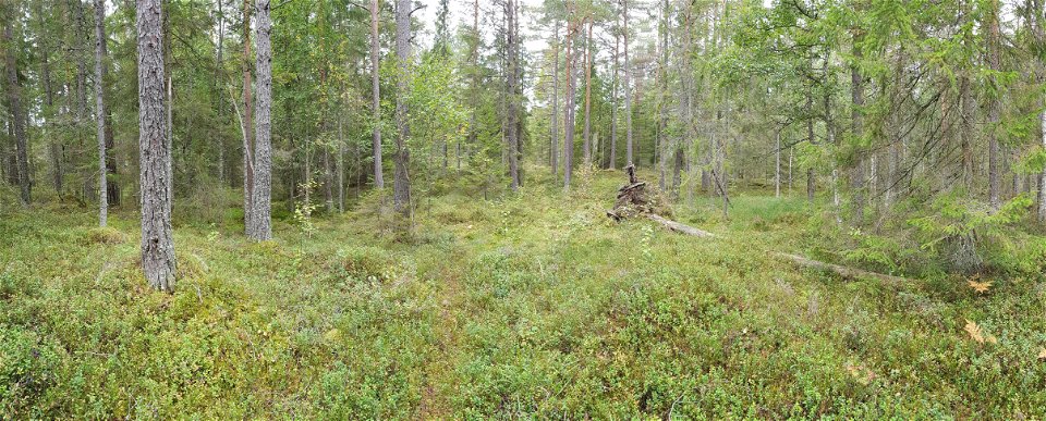
Right in the middle between Motala, Tjällmo, Borensberg and Godegård is a complex of bogs that are protected as nature reserves. A hiking trail connects these nature reserves. The hiking trail is clearly marked with orange, and there are signposts and trail maps along the way to help. Some parts of the trail are often very wet so high boots are preferable. The trail is sometimes a bit overgrown, which gives a wonderful old-forest feeling.
The nature reserves are managed by Länsstyrelsen Östergötland.
Hiking
 Circular trail
 Near parking
Forest paths, rocky areas, roads, marshes.
Kontakta mig om du har frågor om Motalas Naturkarta.
Hilda-Linn Berglund
![]()
Please be aware that some of these texts have been automatically translated.
Ask a question to other Naturkartan users.
En vandringsled gör en slinga runt fyra naturreservat i området vid Fågelmossens naturreservat. Det är…
