
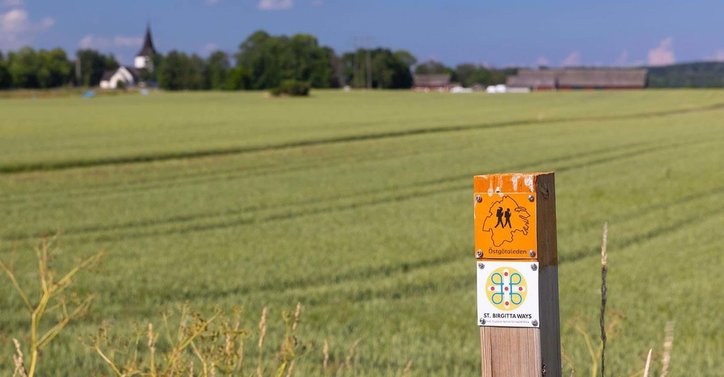

Hundvänliga leder längs Östgötaleden
Att ge sig ut i skog och mark med sin fyrfota vän är väl bland…


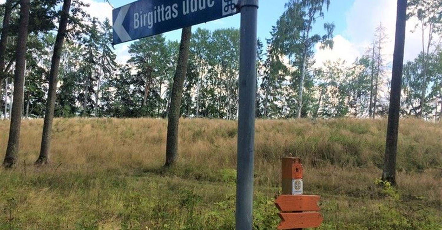
Circular trail
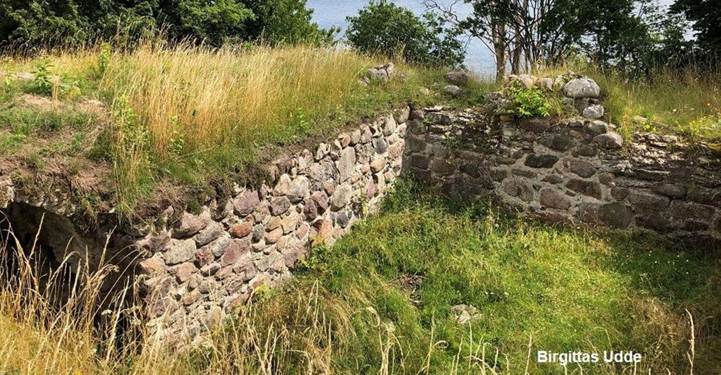
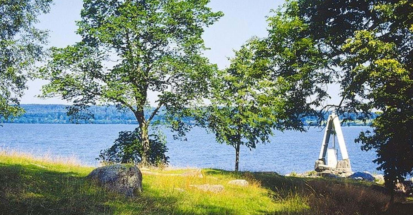
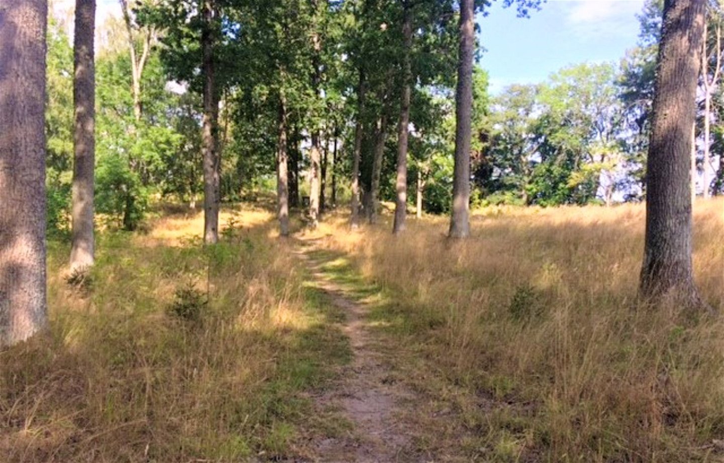
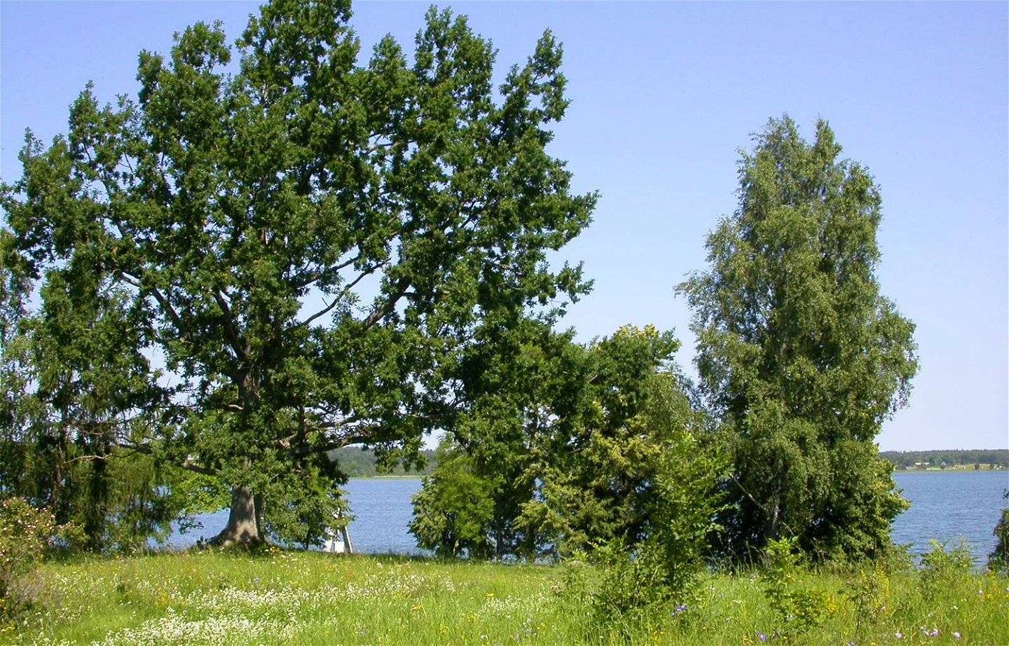
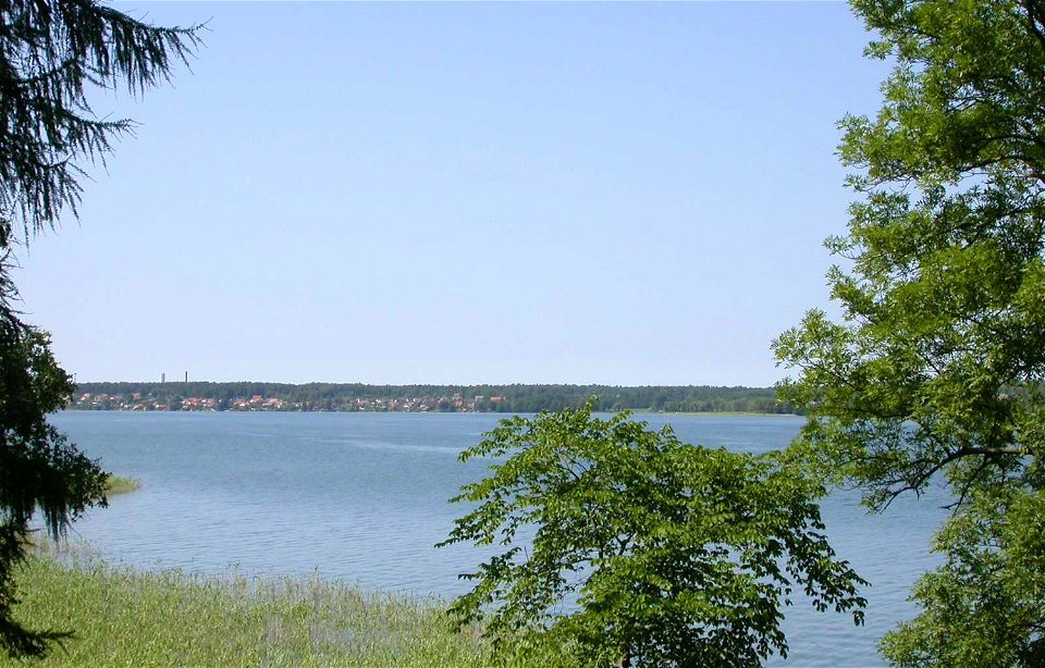
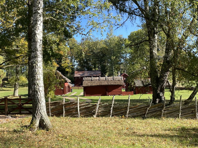
This circular trail of about 4 km takes you around Birgitta's headland. Birgitta's cape is a tranquil environment within cycling distance from Motala urban area. Here are the ruins of the medieval castle complex where Saint Birgitta lived and worked. The castle was built in the early 13th century and consisted of a stone house with a basement and a couple of long wooden buildings. Moats protected it from unwelcome visitors from land. Today, only the basement and the drained moats remain, as well as the foundations for the wooden buildings. On each side of the doorway to the basement there are large holes that show that it was possible to close with a drawbar. Around the castle are cairns that are traces of stone-cleared fields, which were probably already used when Saint Birgitta lived there.
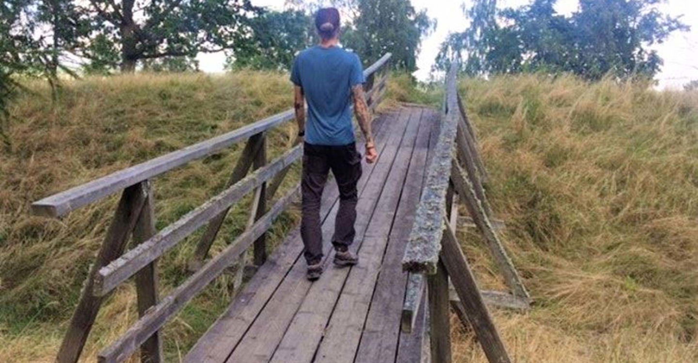
 Hiking
 Quiet places
 Walking
Circular trail
Walking
Circular trail
Kontakt Östgötaleden
![]()
Ask a question to other Naturkartan users.
Att ge sig ut i skog och mark med sin fyrfota vän är väl bland…
Leden tar dig till spännande och vackra kulturmiljöer där mycket av Östergötlands rika historia speglas!…
