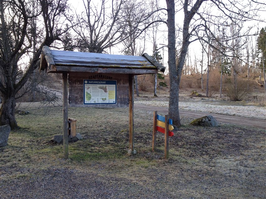


Blue Trail in Staffanstorp
Circular trail
- County: Östergötlands län
- 6734.04 km away from you
Trail details
- Length 0.7 km
Actions
Description
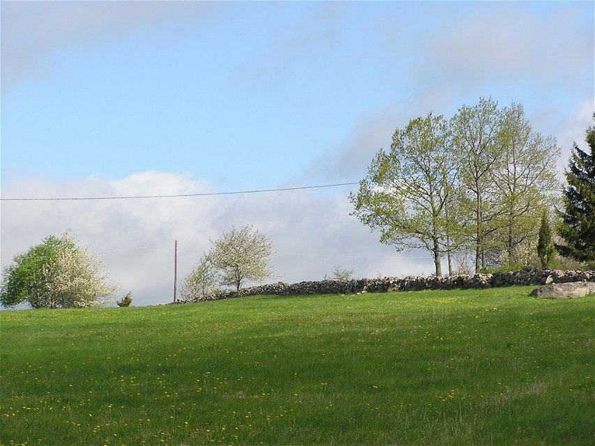
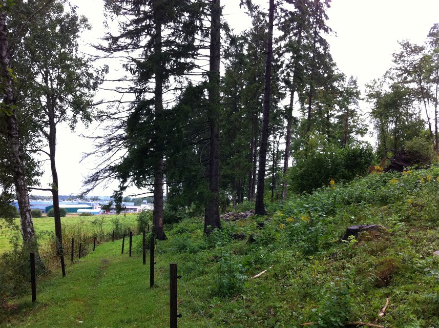
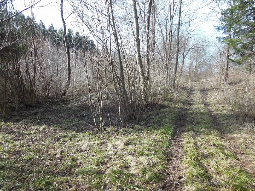
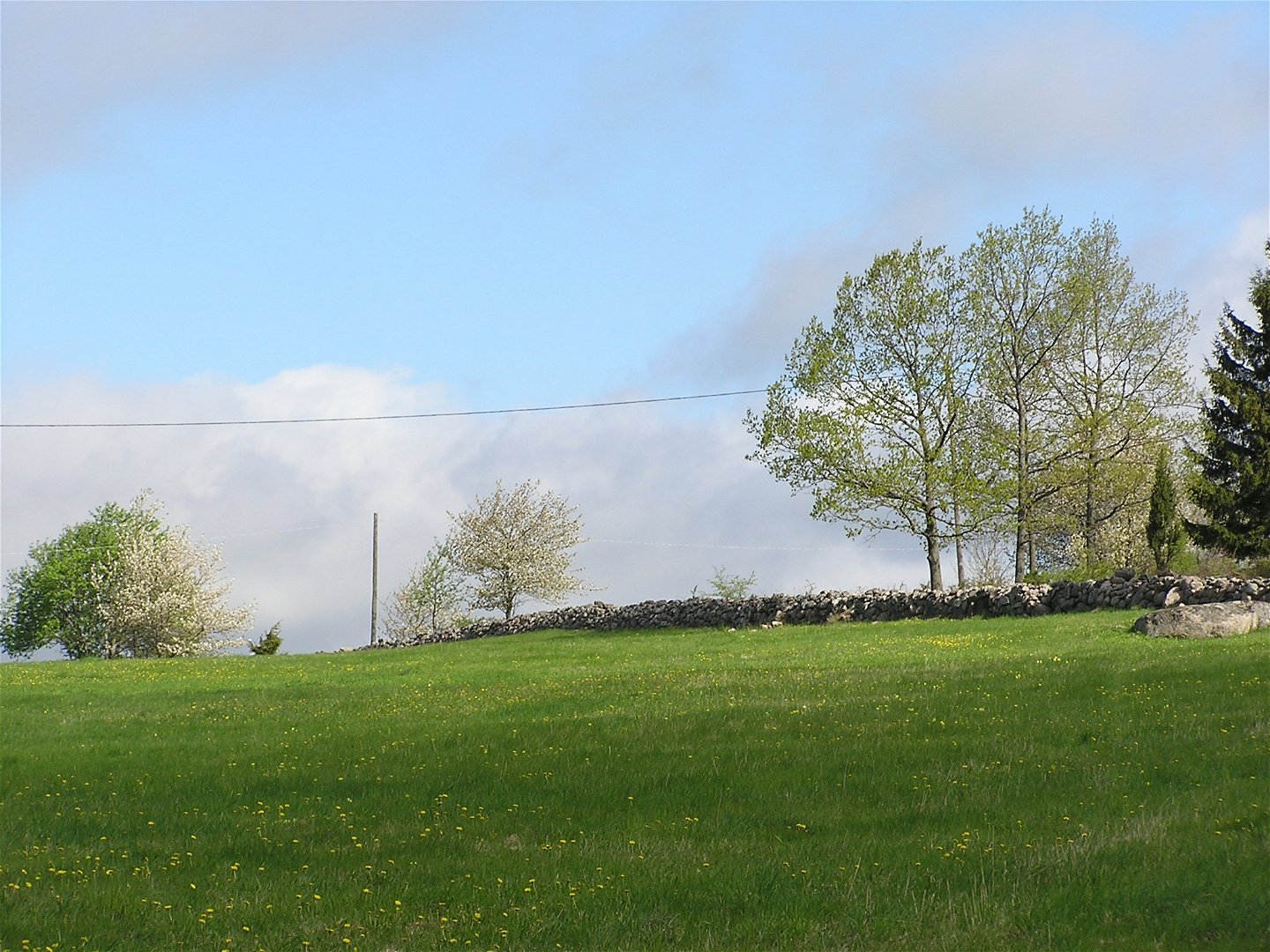
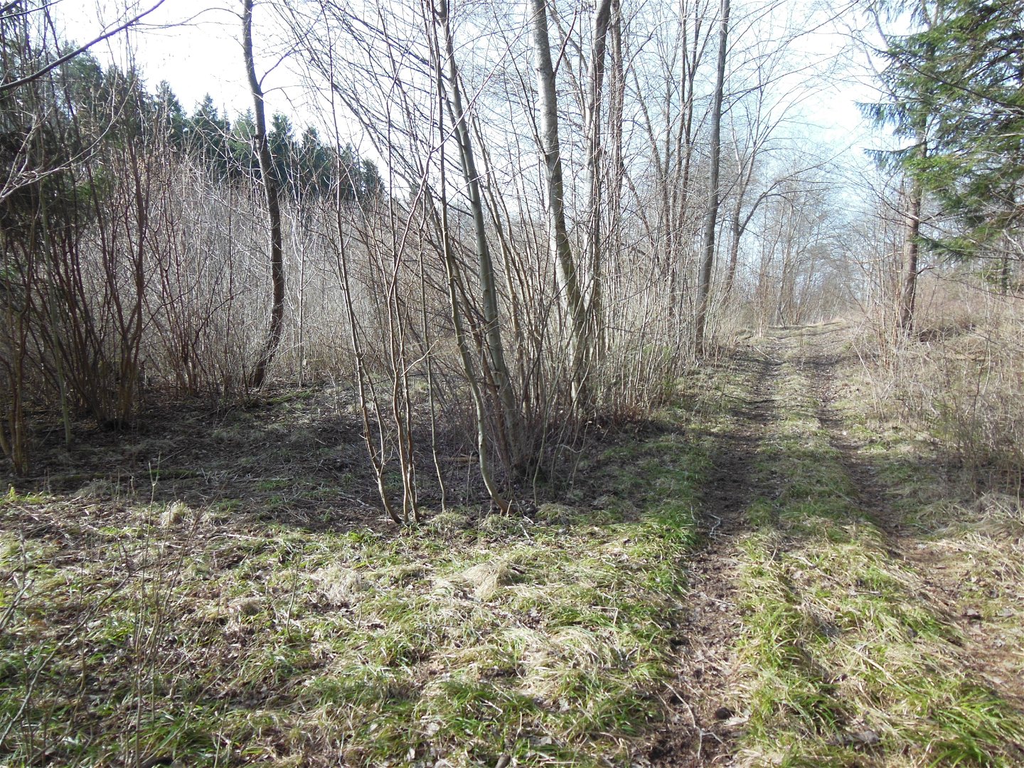
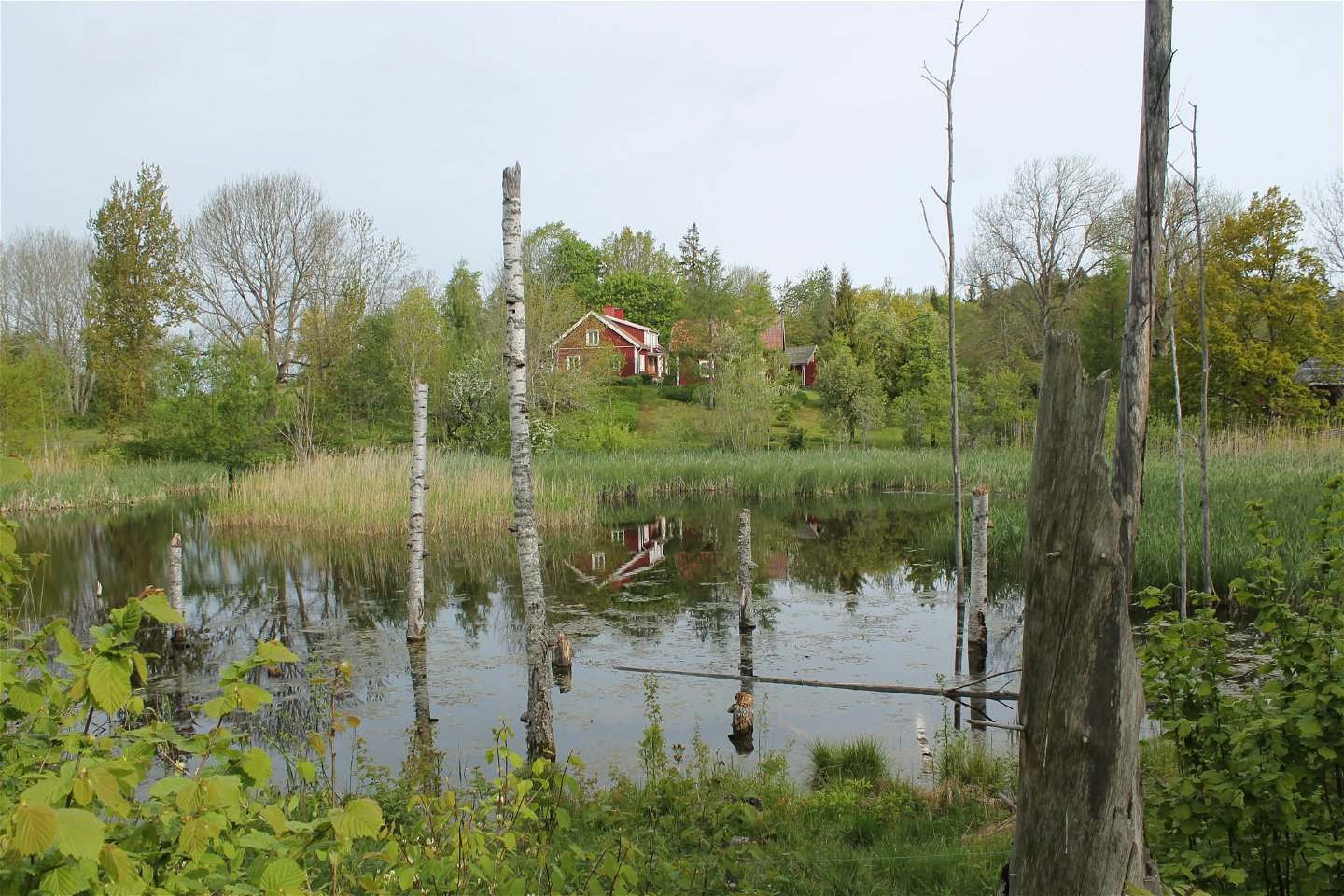
In Staffanstorps nature reserve, well-trodden paths lead the way through herb-rich spruce forest, sheep-grazed dry slopes, past marshes and lakes. The dead ice landscape in the reserve was formed during the last ice age. The hilly terrain and the calcareous moraine create conditions for the area's different vegetation types.
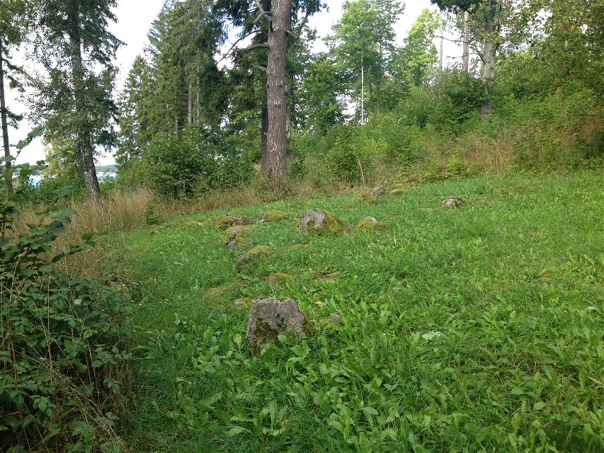
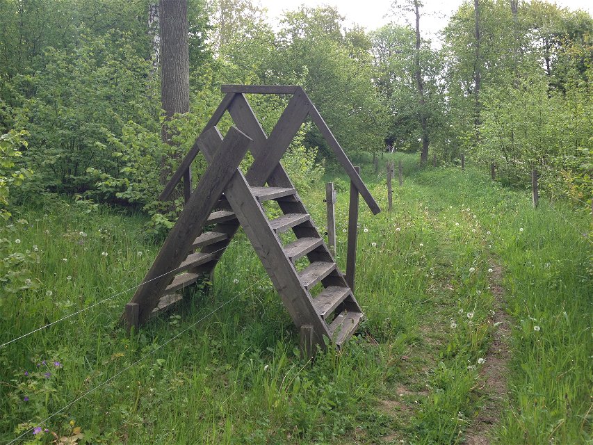
The blue trail takes you around a pasture and, among other things, past a wetland. About halfway you can go into the pasture and look at the trident which is an ancient monument dating from the Iron Age, 400 BC. - 1050 AD
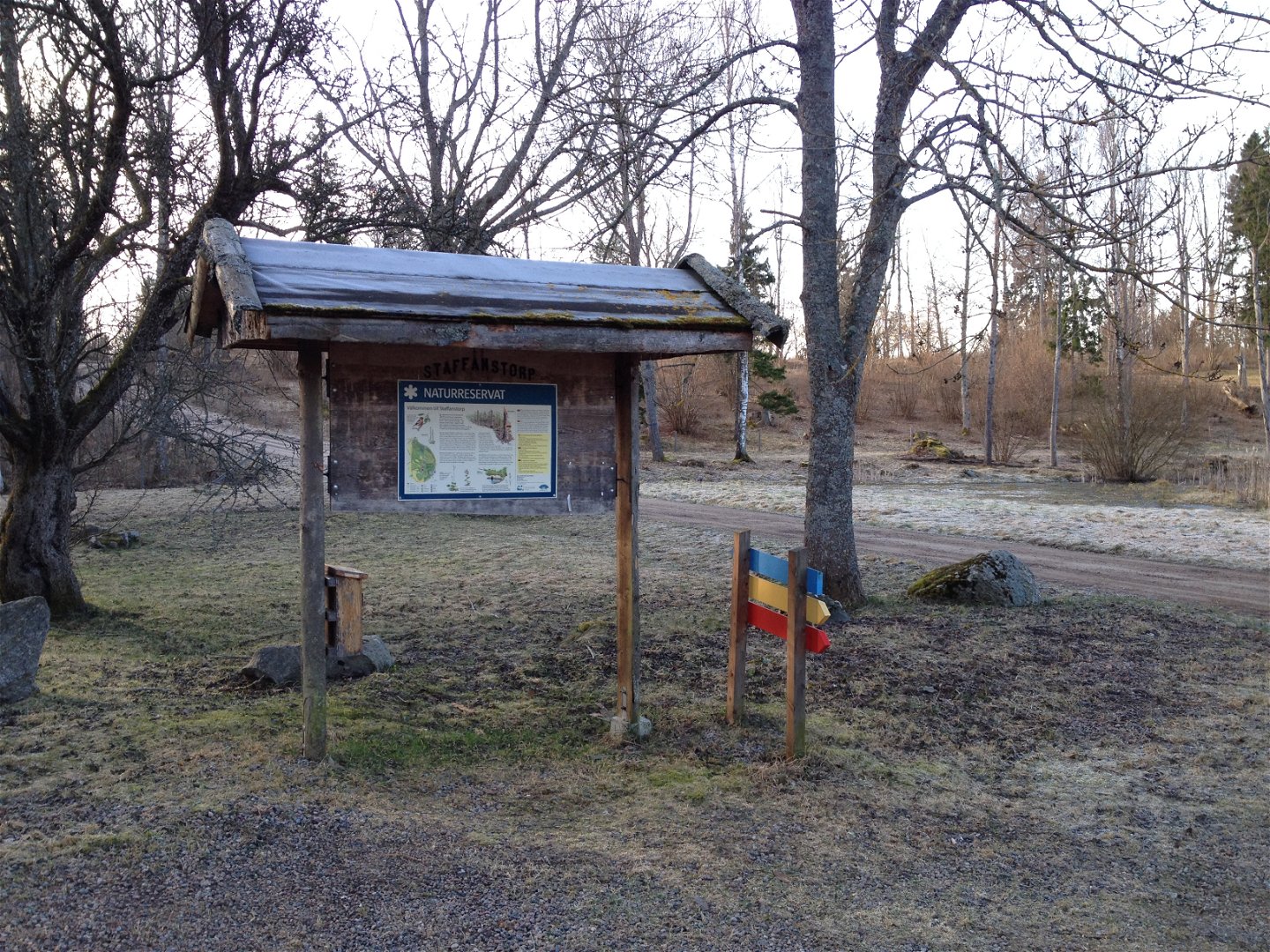
At the visitor barn in Staffanstorp nature reserve, there is an accessible toilet and a firesite. The nature reserve is managed by Motala municipality.
Activities And Facilities
-
 Hiking
-
 Walking
-
Circular trail
Accessibility
-
 Near parking
-
 Near toilet
Contact
Address
Kontakta mig om du har frågor om Motalas Naturkarta.
Email address
Hilda-Linn Berglund
Organization logotype
![]()
Questions & Answers
Ask a question to other Naturkartan users.
