


Suttarboda loop trail 12 km
Hiking
- County: Örebro län
- 6681.94 km away from you
Trail details
- Length 13.0 km
- Time 3 h
- Difficulty Blue - medium
Actions
Description
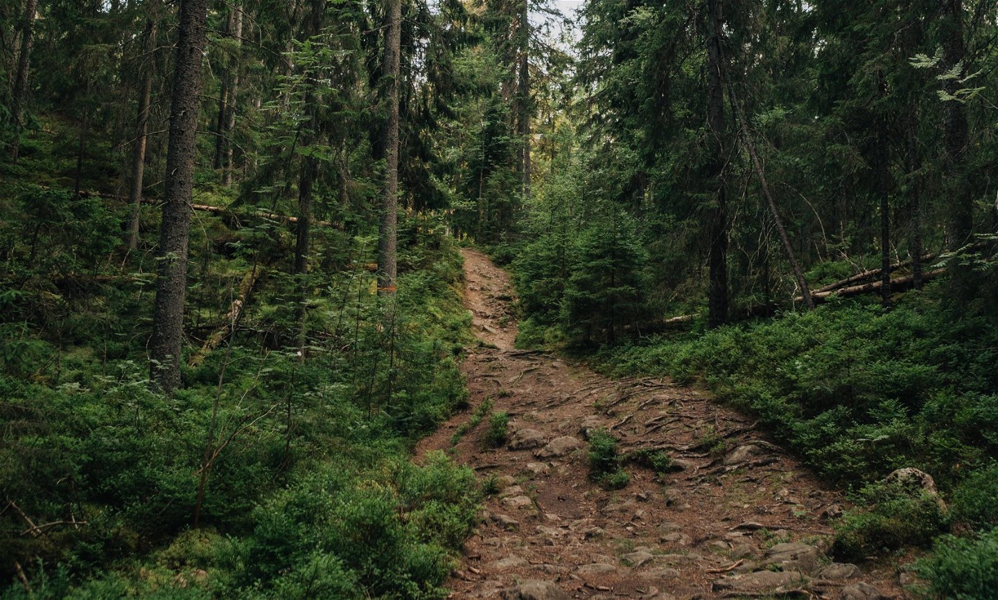
This trail passes between two classic locations at Kilsbergen. Enjoy the view from Falkaberget and take a dip in one of the lakes that you pass along the way. Marked with blue symbols¸ the trail links up with Stage 10.
Activities And Facilities
-
Hiking
-
 Circular trail
Facts
Time: 4 h
Activities: Swimming
Downloads
Contact
Email address
Johan Karlström
Organization logotype
![]()
Please be aware that some of these texts have been automatically translated.
Questions & Answers
Ask a question to other Naturkartan users.
