

Amboberget loop trail 12.5 km
Hiking
- County: Örebro län
- 6683.97 km away from you
Trail details
- Length 12.5 km
- Difficulty Blue - medium
Actions
Description
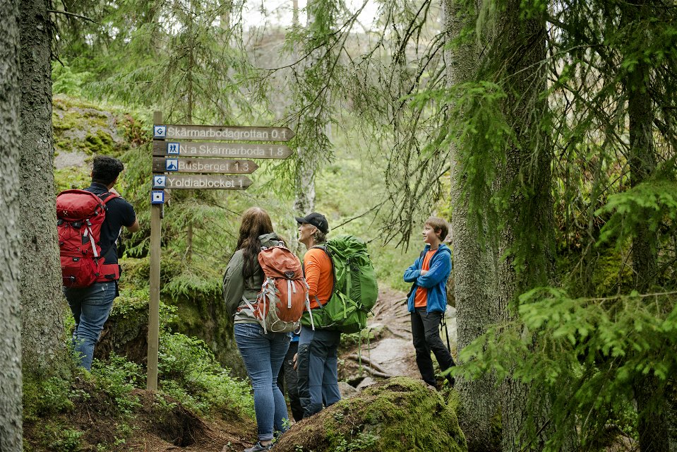
Marked with blue symbols, the trail takes you through the Amboberget Nature Reserve before linking up to Stages 7 and 8. Take a break at the top of the steep Amboberget Hill, where your efforts will be well rewarded with excellent views. Discover the cave area at Skärmarboda along the way.
Activities And Facilities
-
Hiking
-
 Circular trail
Facts
Time: 3-4 h
Directions
At Mogetorp there is a bus stop that is served daily by Länstrafiken.
Downloads
Contact
Email address
Johan Karlström
Organization logotype
![]()
Please be aware that some of these texts have been automatically translated.
Questions & Answers
Ask a question to other Naturkartan users.
