A new trail in Snöberget Nature reserve
Images
-
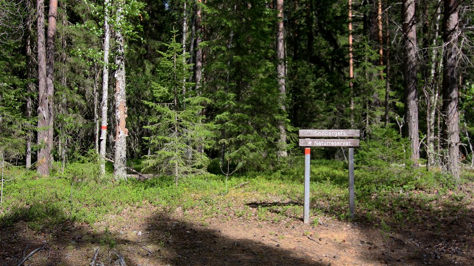
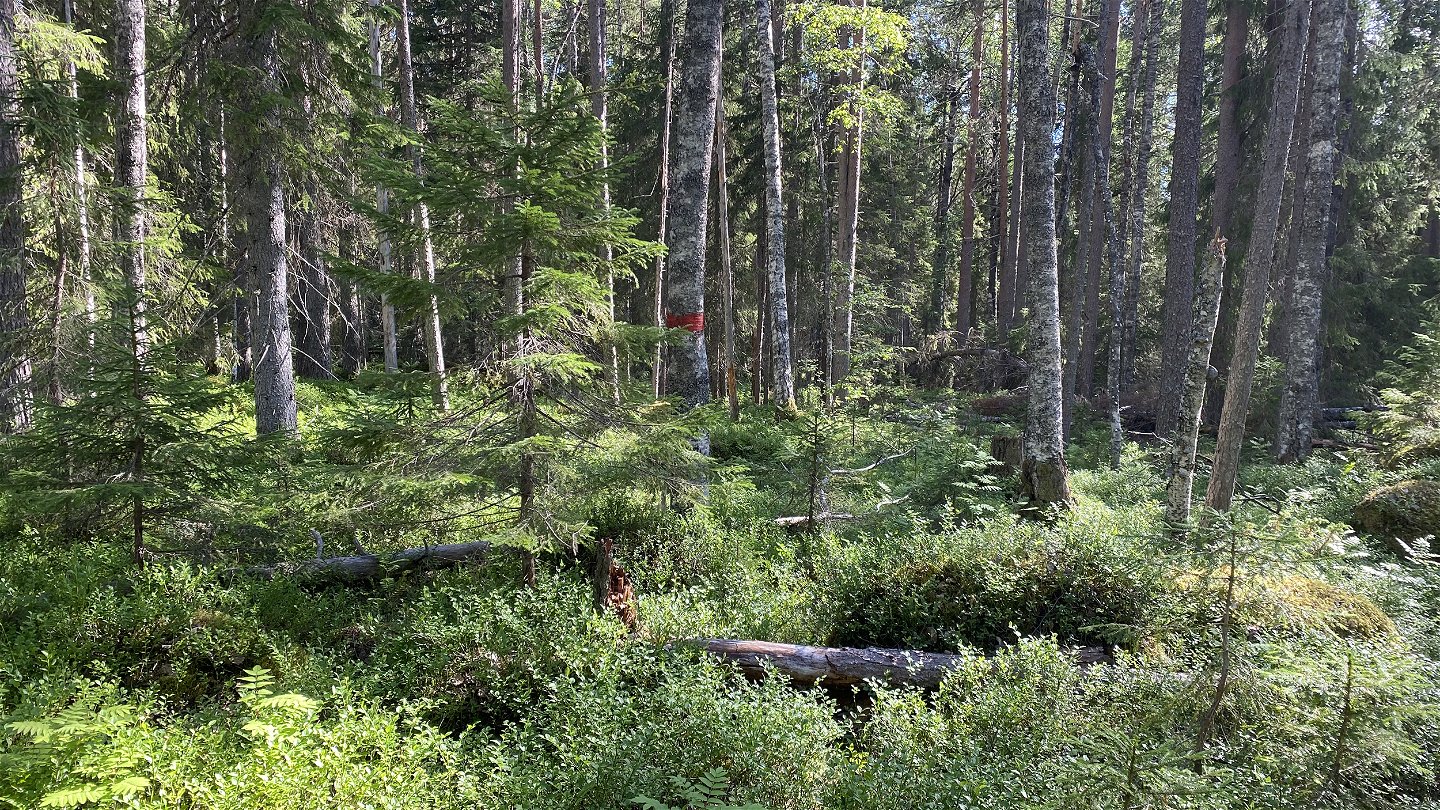
The marks are red and starts here. -

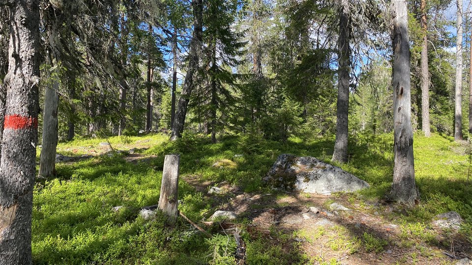
There is no trail, only marks to follow. -
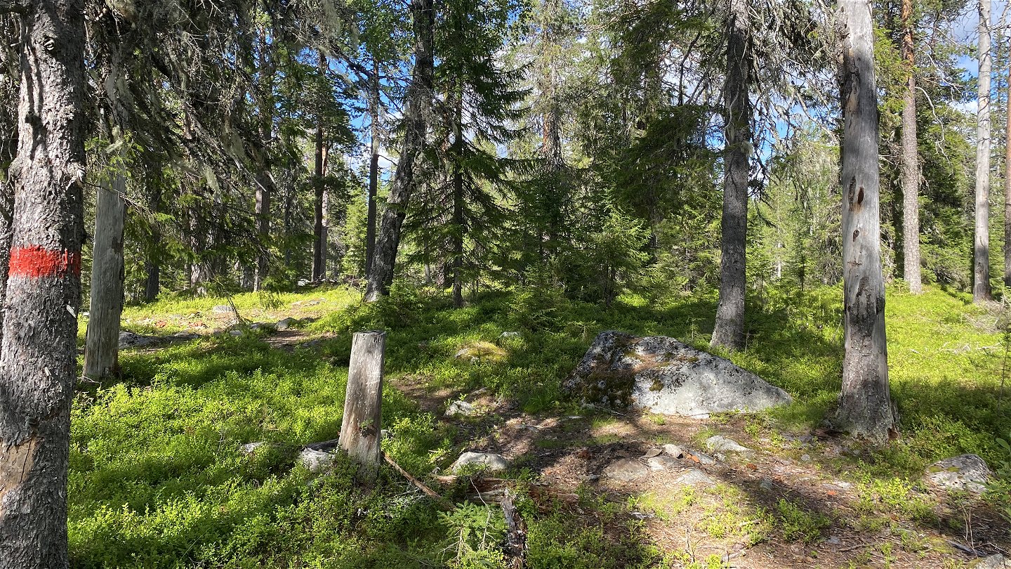
The top is covered with forest. -
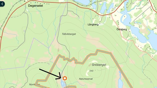
A map showing where the trail starts.


There are new marks leading to the top of the mountain in Snöberget Nature reserve. The red marks starts near the gravel road going through the western part of the reserve. They start near the road, where there is a small wooden sign with the name "Snöberget".
There are two new fireplaces with benches near the top of the mountain.
The old trail from east of the reserve is in bad condition and is not maintained any more. In 2023, the latrine will be moved to the new trail start.
Contact
Email address
Länsstyrelsen Norrbotten
Organization logotype
![]()