


Trail, western loop, Bälingeberget
Hiking
- County: Norrbottens län
- 6642.95 km away from you
Trail details
- Length 2.8 km
Actions
Description
This trail goes in a loop in the western part of the nature reserve. It starts and ends at the parking lot. There are connections to the eastern trail and the trail to the cave. You pass by the fireplaces at the top of the mountain.
Activities And Facilities
-
Hiking
Accessibility
-
 Near parking
-
 Near toilet
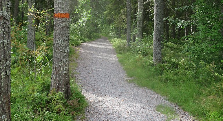
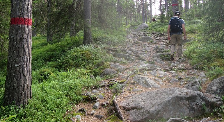
Surface
Gravel, then forest path with stones.
Contact
Email address
Länsstyrelsen Norrbotten
Organization logotype
![]()
Questions & Answers
Ask a question to other Naturkartan users.
