
Golddaluokta-Pältsa
Hiking
- County: Norrbottens län
- 6406.48 km away from you
Trail details
- Length 5.0 km
Actions
Description
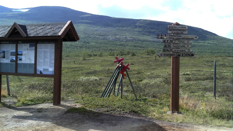
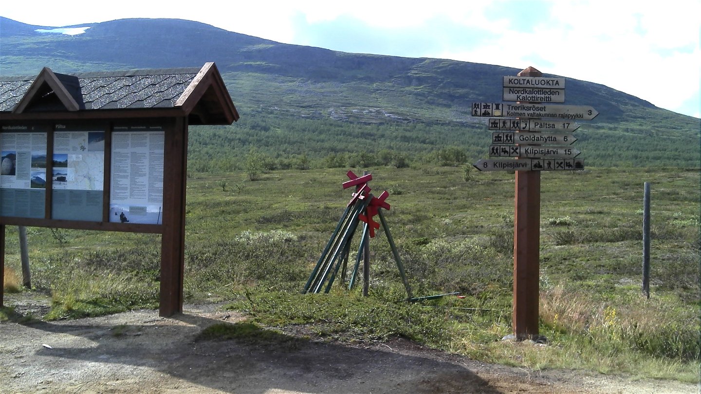
The trail joins another trail that runs between the Three-Nation Cairn Treriksröset and the Pältsa cabin. After passing a number of wooden bridges, the trail rises steeply beyond the mountain birch forest. Further up the slope there are more bridges, one of them on the bare mountain. Above the tree line, the hike continues upwards at a more moderate incline until the trail leading to Pältsa.
Duration: 2-3 hours
Activities And Facilities
-
Hiking
Surface
Mostly easily-hiked and even surface, including the steeper section from Guolddaluokta up onto the mountain.
Contact
Email address
Länsstyrelsen Norrbotten
Organization logotype
![]()
Questions & Answers
Ask a question to other Naturkartan users.
