


Trail Slakkasjön, Serri
Hiking
- County: Norrbottens län
- 6526.48 km away from you
Trail details
- Length 0.5 km
Actions
Description
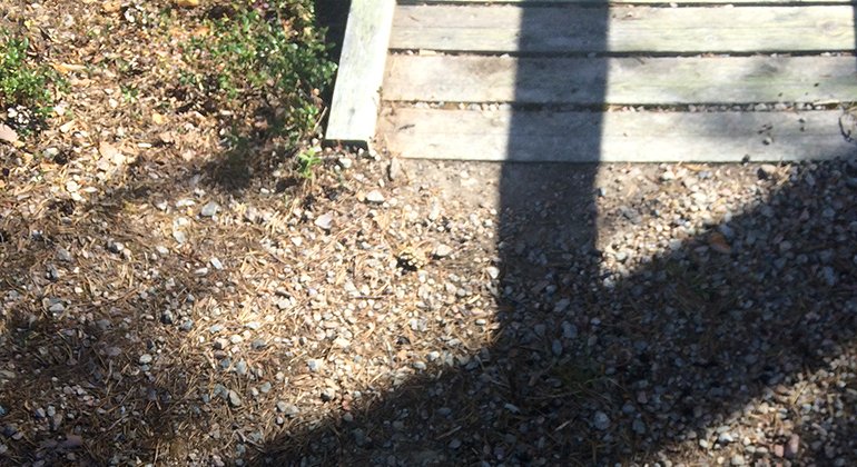
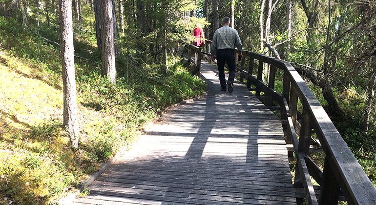
A 500 metres long, wheel-chair accessible trail to Slakkasjön. The trail has a plankway and rails. There are some gaps in the plankway where you have to continue on a path on forest ground for approximately 10 metres. These parts of the trail will be fixed during 2019.
Activities And Facilities
-
Hiking
Accessibility
-
 Near parking
-
 Near toilet
-
 Stroller accessible
-
 Wheelchair accessible
Surface
Wooden boardwalk with railing and anti-slip device. Maximum slope of the walkway is unknown.
Contact
Email address
Länsstyrelsen Norrbotten
Organization logotype
![]()
Please be aware that some of these texts have been automatically translated.
Questions & Answers
Ask a question to other Naturkartan users.
