-
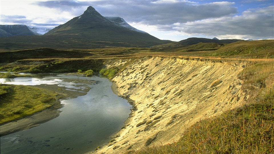
Photo: Tomas Utsi -

-

-


Gappo-Pältsa
Hiking
- County: Norrbottens län
- 6395.74 km away from you
Trail details
- Length 11.0 km
Actions
Description
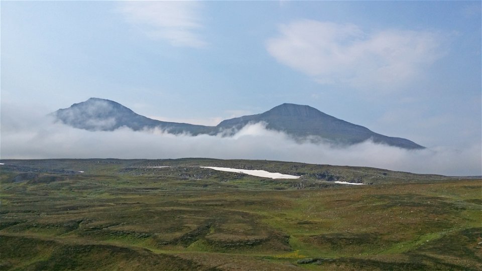
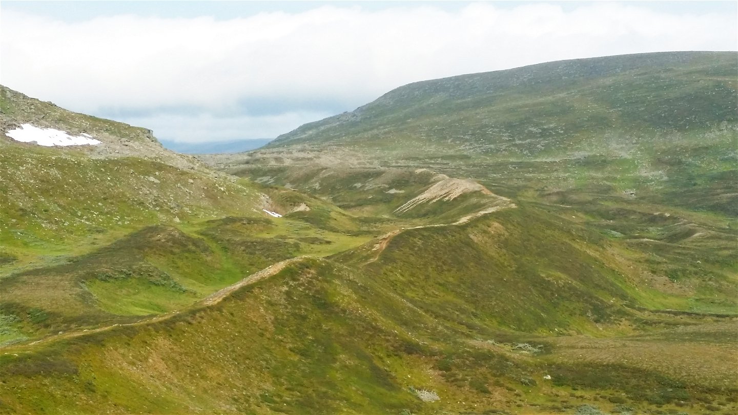
The trail leads across the tundra in the northernmost corner of Sweden. The route offers a very easy hike and runs through a valley with beautiful views to the north and west. The trail follows high moraine ridges almost all the way. Gradually, Sweden's northernmost high mountain, Pältsan, comes into view. One can find the botanic rarity Laestadius Poppy (papaver laestadianum) on the mountain slopes. Towards the end of the hike, the landscape opens up and the trail reaches the Pältsa cabin, standing on a wide-open mountain moor. The area is rich in birdlife and has unusual flora.
Duration: 3-5 hours
Activities And Facilities
-
Hiking
Surface
Easy hiking, mostly along moraine ridges and across brush moors.
Contact
Email address
Länsstyrelsen Norrbotten
Organization logotype
![]()
Questions & Answers
Ask a question to other Naturkartan users.
