 Best hiking trails in Växjö
Naturkartan samlar de vandringslederna i Växjö som är populärast bland våra användare.
Map
De bästa vandringslederna (87):
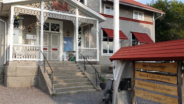
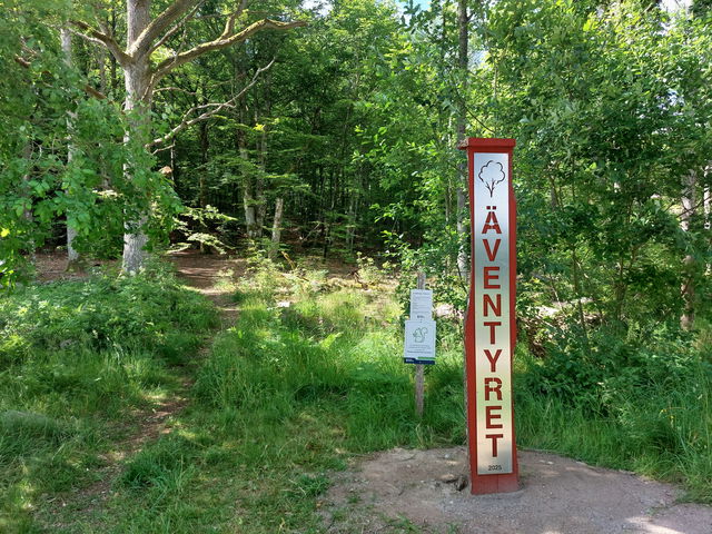
 Entrance
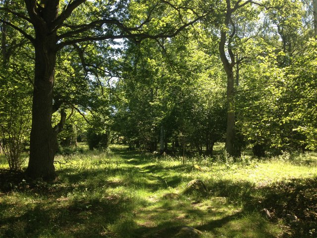
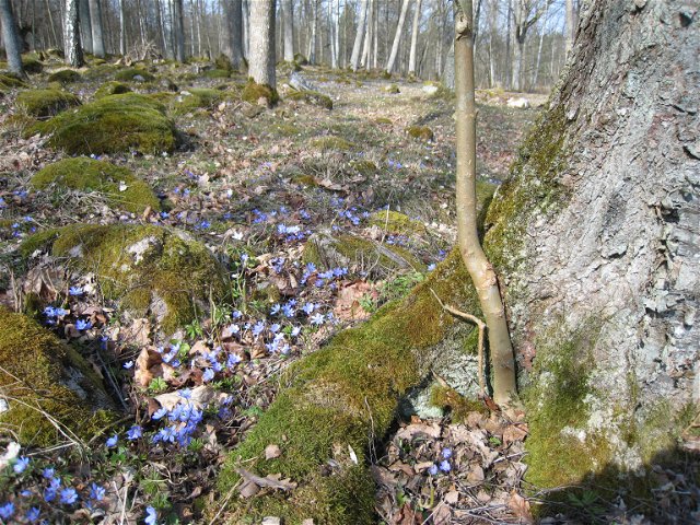

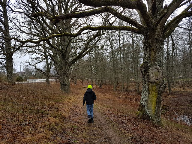
Hiking
Asasjön loop trail
- Municipality: Växjö
- 6793.26 km away from you
- 24.2 km
- about 6 hours
- Difficulty: Blue


Hiking
Sigfrid Trail stage SL1 Asa-Nykulla - Part of the Småland Trail
- Municipality: Växjö
- 6793.75 km away from you
- 15.8 km
- about 3 hours
- Difficulty: Red
 Children's adventure

 Parking

Hiking
Sigfrid Trail connection SL7A parking Knapelid-Linneryd - part of the Småland Trail
- Municipality: Växjö
- 6837.07 km away from you
- 5.5 km
- about 1 hour
- Difficulty: Green

Hiking
Sigfrid Trail stage SL7 Sandstaden beach-Knapelid – Part of the Småland Trail
- Municipality: Växjö
- 6831.38 km away from you
- 7.8 km
- about 2 hours
- Difficulty: Blue

Hiking
Sigfrid Trail stage SL6 Sandvik beach-Sandstaden – Part of the Småland Trail
- Municipality: Växjö
- 6822.55 km away from you
- 16.5 km
- about 4 hours
- Difficulty: Blue

Hiking
Sigfrid Trail stage SL5 Hemmesjösjön rest area-Sandvik beach – Part of the Småland Trail
- Municipality: Växjö
- 6817.48 km away from you
- 12.3 km
- about 3 hours
- Difficulty: Blue

Hiking
Sigfrid Trail stage SL4 Notteryd-Hemmesjösjön rest area – Part of the Småland Trail
- Municipality: Växjö
- 6813.47 km away from you
- 6.9 km
- about 2 hours
- Difficulty: Red
