 Best hiking trails in Storuman
Naturkartan samlar de vandringslederna i Storuman som är populärast bland våra användare.
Map
De bästa vandringslederna (92):

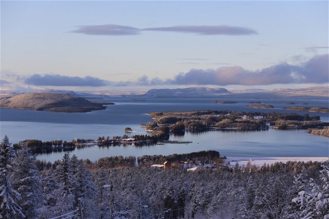
 Quiet places
Bjursväg – stallskogen
- Municipality: Storuman
- 6481.06 km away from you
- 1.5 km
- Difficulty: Blue
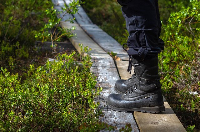
 Walking

 Running

 Lighted trails
Elljusspåret 4 km
- Municipality: Storuman
- 6480.23 km away from you
- 4.0 km
- Difficulty: Blue

 Mountainbiking
Rackokalvsvägen
- Municipality: Storuman
- 6483.1 km away from you
- 5.0 km
- 5 minutes
- Difficulty: Blue
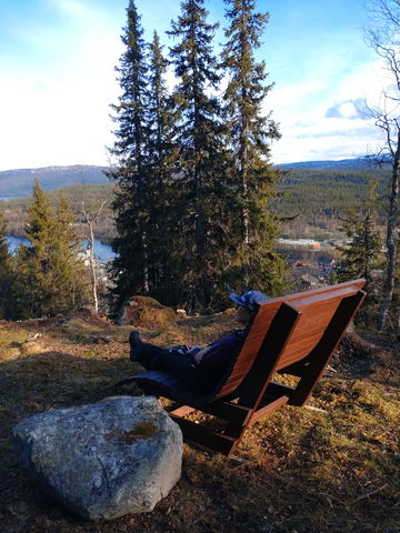
 Viewpoint

Lighted trails
Elljusspåret 15 km Storuman – Stensele
- Municipality: Storuman
- 6480.23 km away from you
- 15.0 km
- Difficulty: Red

Lighted trails
Elljusspåret 6 km
- Municipality: Storuman
- 6480.23 km away from you
- 6.0 km
- Difficulty: Red


 Biking
Gång- och cykelväg mellan Storuman och Stensele
- Municipality: Storuman
- 6479.84 km away from you
- 2.0 km
- Difficulty: Green

Hiking
Genväg Höjdvägen - Elljusspåret
- Municipality: Storuman
- 6479.91 km away from you
- 1.1 km
- Difficulty: Red
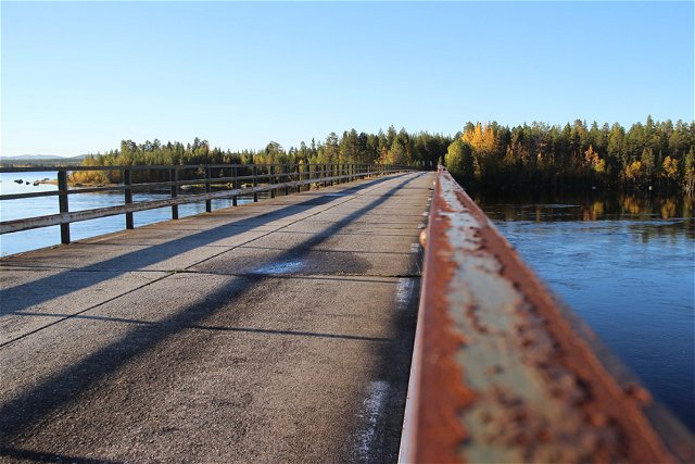
 Bridge

 Skiing
