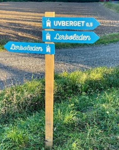
 Hiking
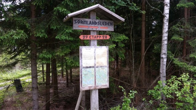
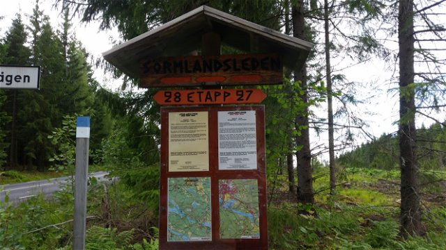
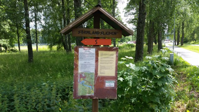
Viggaren - Djupviksvägen, Sörmlandsleden, etapp 29
- Municipality: Katrineholm
- 6778.11 km away from you
- 9.5 km
Best hiking trails in Katrineholm
Naturkartan samlar de vandringslederna i Katrineholm som är populärast bland våra användare.
Hiking
Hiking
Hiking
Hiking
Hiking

Hiking


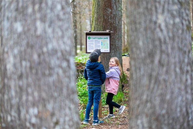
 Park
Park
 Culture
 Exercise facility
