-

Foto: Tingsryds kommun -

Foto: Tingsryds kommun -

Foto: Tingsryds kommun -

Foto: Tingsryds kommun
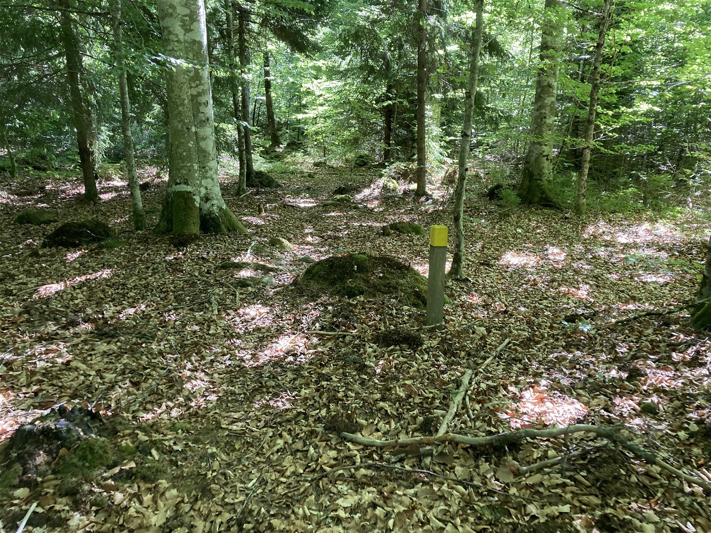
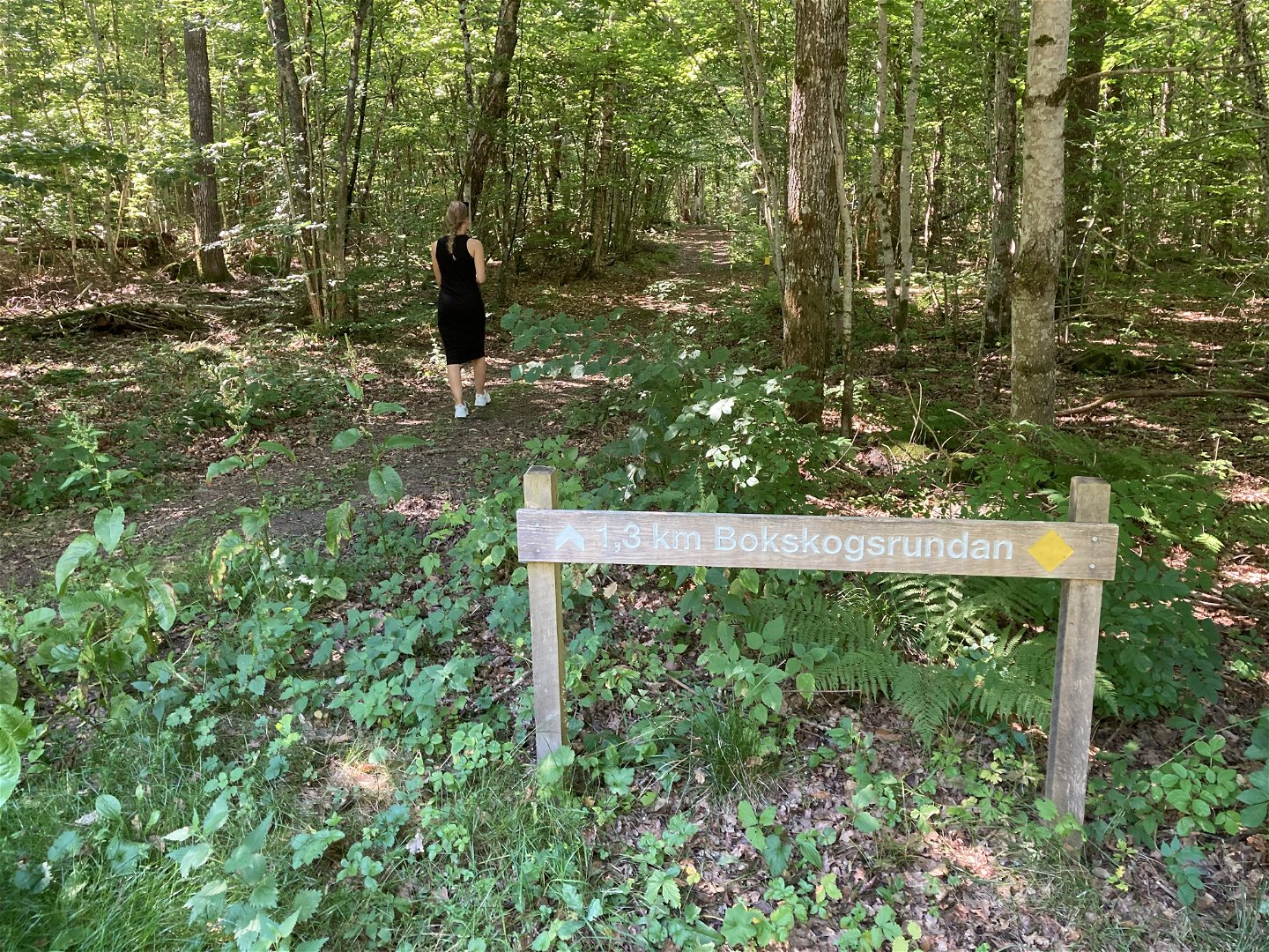
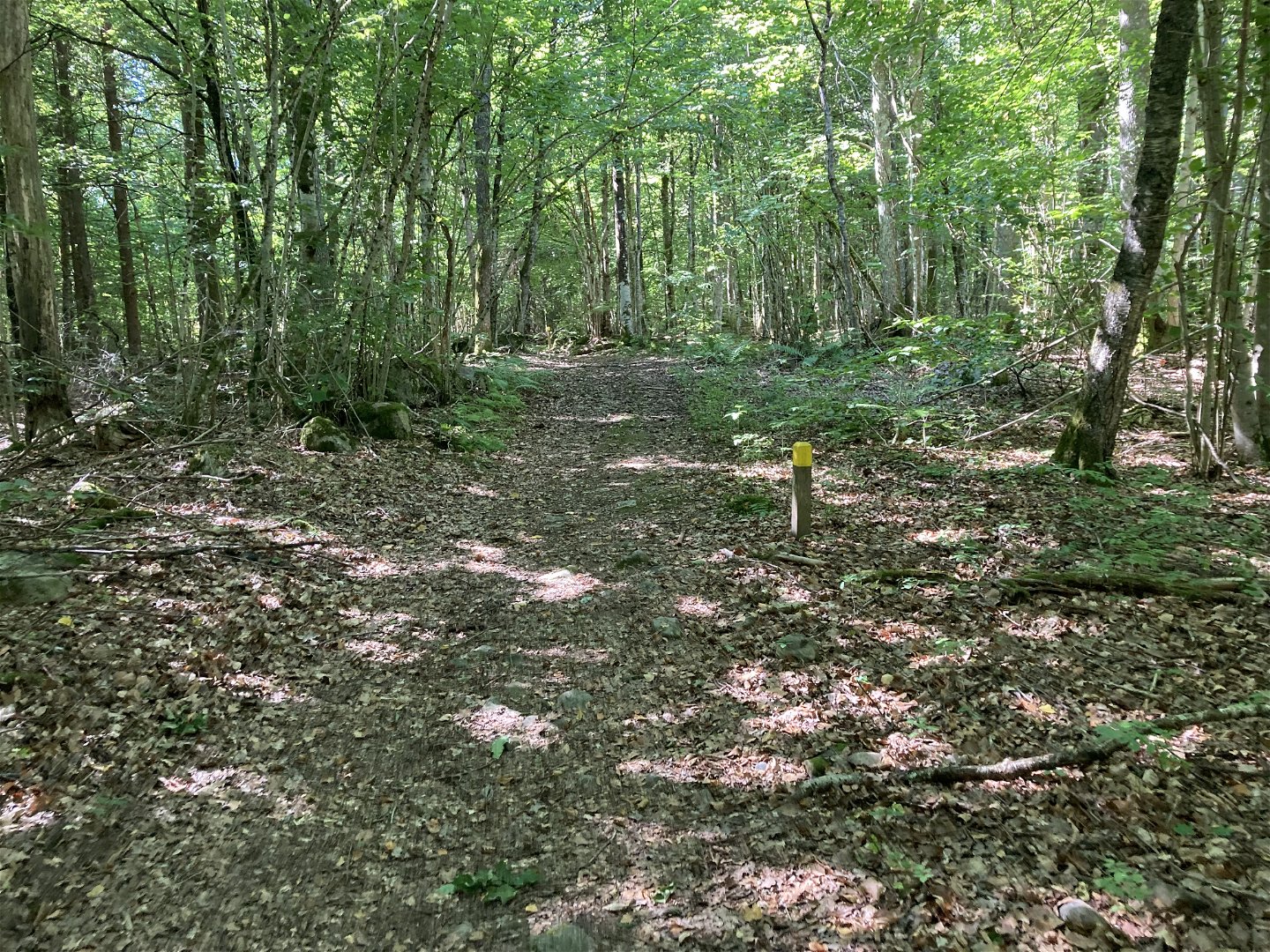

Walking trail - Hackekvarn nature reserve (yellow)
Hiking
- County: Kronobergs län
- 6826.26 km away from you
Trail details
- Length 1.4 km
- Difficulty Green - simple
Actions
Description
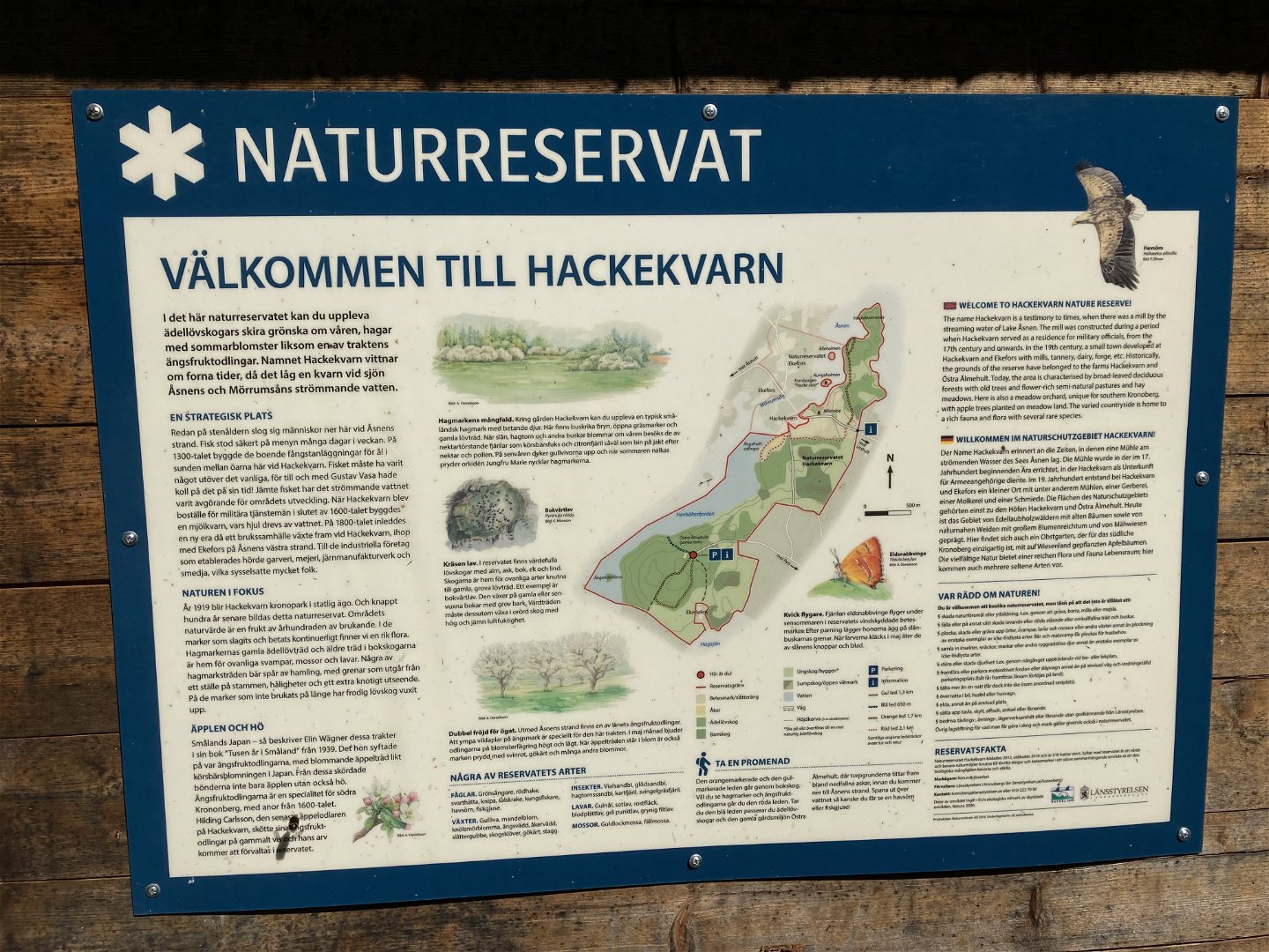
A nice walking path that goes through a beautiful beech forest in the Hackekvarn nature reserve, marked with yellow posts in the terrain. Here you pass many stone cairns that bear witness to the fact that this was active farmland a long time ago. Read more about the reserve and what you can see here via the County Administrative Board's website in the link next to this.
Activities And Facilities
-
Hiking
Surface
Forest path
Contact
Email address
Tingsryds Turistinformation
Please be aware that some of these texts have been automatically translated.
Questions & Answers
Ask a question to other Naturkartan users.
